


The Beauty of K'Gari
Words and pics by Kev Smith
Unless you have been living under a rock, you’ve heard of K’gari, formerly known as Fraser Island. When Cook sailed past in 1770, he mistook it for part of the mainland because he could not see what is now called the Great Sandy Strait. K’gari has been home to the Butchulla People for more than 60,000 years; in their language, its name means “Paradise” or “Mother”.
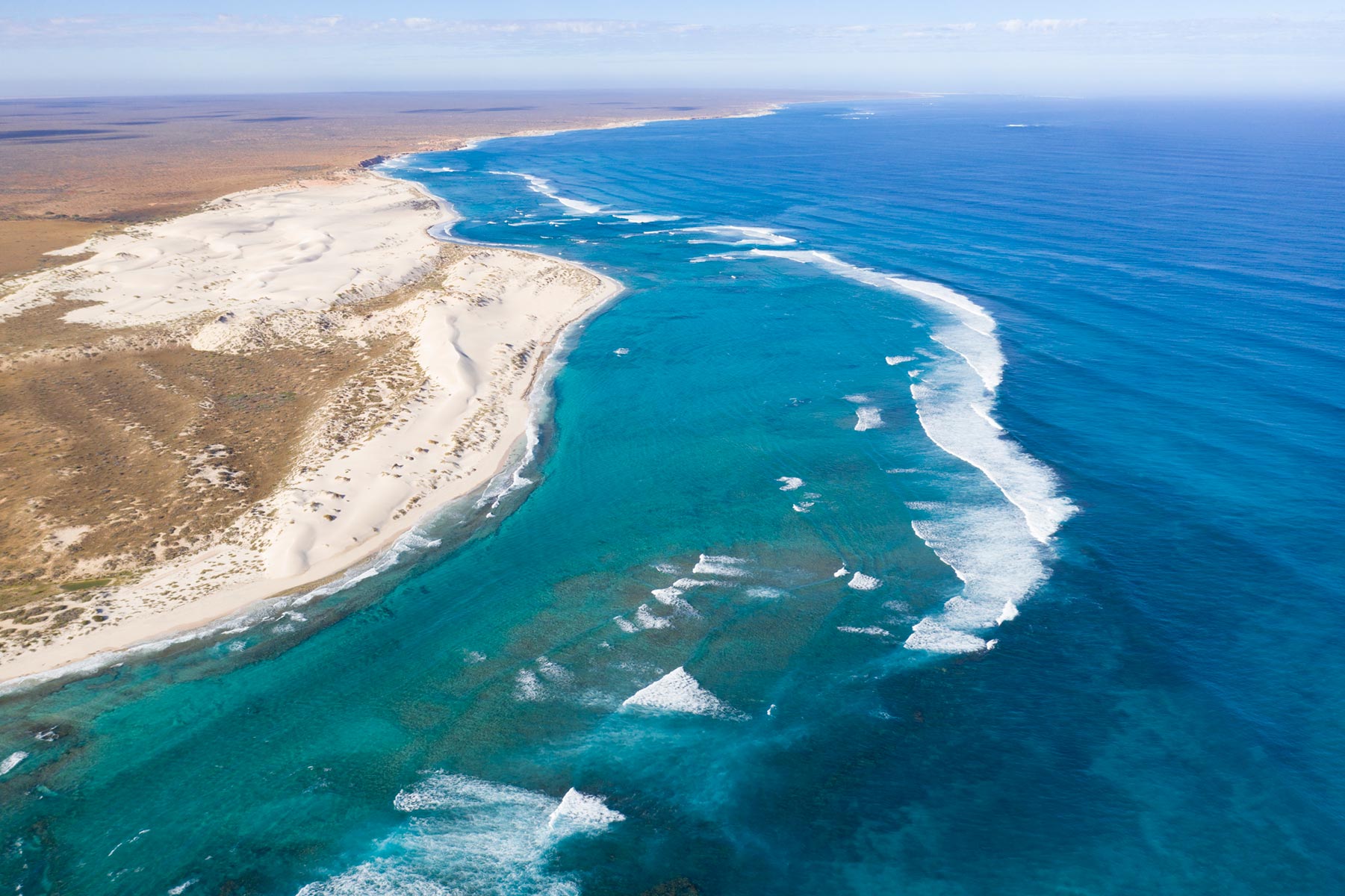
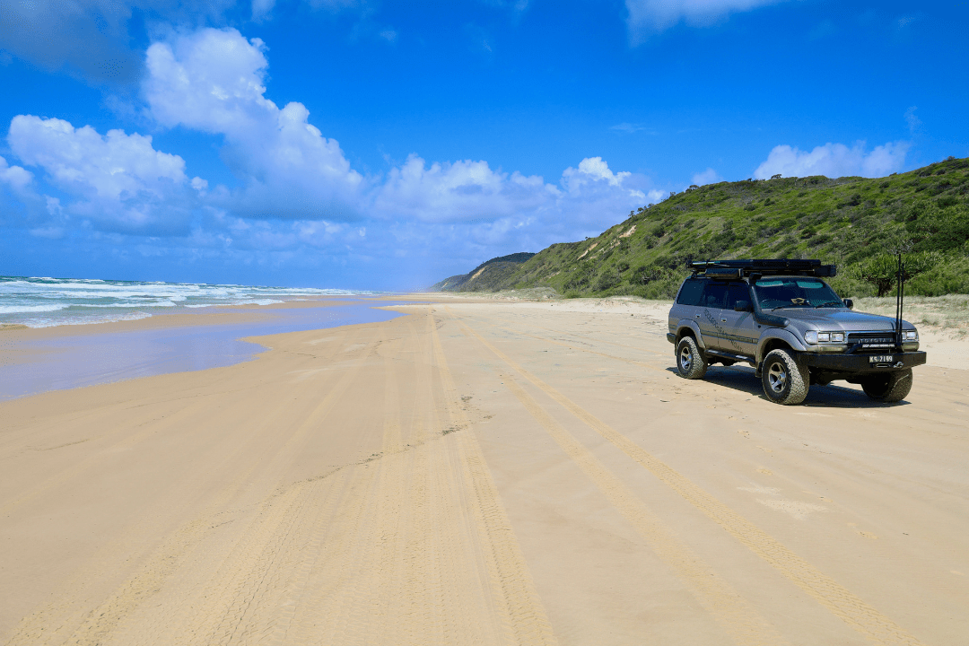
Exploring K’gari by 4WD is more than just a road trip, it is an entry into a world where the laws of standard driving are replaced by the rhythm of the tides and the shifting nature of sand. As the world’s largest sand island, K’gari offers a landscape that can be both brutal on machinery and breathtakingly beautiful to the soul, depending on how you tackle it. Stretching 123 kilometers along Queensland’s coastline, this UNESCO World Heritage site is a playground for those who seek to trade asphalt for the Sand Highway up its east coast. Whether you cross via the barge from Inskip Point to Hook Point or from River Heads to Kingfisher Bay, the transition is immediate. On K’gari, 75 Mile Beach serves as the island's main arterial road, a gazetted highway where road rules apply, but the pavement disappears twice a day with the incoming tide. The barge ride from Inskip is the preferred caravan friendly trip to start your adventure on the island, and by prepping a little before you’re on the barge, it may save you a world of pain. The number one rule when hitting the sand at Inskip is to significantly lower your tyre pressures, as you do not want to end up on the, “I got bogged at Inskip” Facebook pages. Lowering your tyre pressure to around 18–20 psi is the golden rule, creating a larger footprint to float over the grains rather than digging in. Another thing to work around is the tides, if you’re towing, plan dead low tide to land on K’gari which will make your run up the beach a whole lot easier. If you’re just travelling in a 4wd there are plenty of inland tracks to divert onto, these are not suited to an offroad van as they are tight, very soft and often narrow.

As soon as you hit the beach you’re driving requires a shift in mindset. You learn to read the sand - watching for soft patches where momentum is your best friend and washouts (small creeks running out to sea) that can snap an axle if hit at speed. Keep in mind that general road rules apply and there are plenty of signs highlighting different speed zones. Police do patrol the beaches and inland tracks.
While the beach is the highway, the interior is a labyrinth of deep-sand tracks leading to some of the most spectacular freshwater systems on Earth. There are many lakes on the island, some more known than others but they all have different qualities and are special in their own way. The most famous one is Lake McKenzie (Boorangoora) the island’s crown jewel. It’s a "perched" lake meaning it sits entirely above the water table, held in place by a layer of organic matter and sand. The water is so pure it supports little life but offering a swimming experience that feels like bathing in silk. The sand is nearly pure silica, dazzlingly white and soft enough to polish jewellery. For a different vibe, Lake Wabby offers a starker beauty. Located at the base of the massive Hammerstone Sandblow, this emerald-green lake is slowly being swallowed by the migrating dunes.
It’s a two-kilometre trek across the sand blow to reach the lake and it feels like crossing a Sahara landscape before plunging into the cool, deep water. Lake Allom, also known as Turtle Lake is famous for the hundreds of little Turtles that are seen from the viewing deck.


Coastal Wonders of 75 Mile Beach
Driving north along the eastern beach, you encounter a series of landmarks that define the island's history and geology. Like the Maheno Shipwreck, beached during a cyclone in 1935, the SS Maheno is a haunting skeleton of rusting iron against the blue horizon, every day it’s slowly giving away to the harsh elements. It serves as a stark reminder of the ocean's power and provides a stunning foreground for photographers, especially at sunrise. Just nearby is Eli Creek, the largest freshwater creek on the eastern beach, pouring up to four million liters of water into the ocean every hour. The tradition here is simple, walk up the boardwalk, jump into the clear, fast-flowing current, and float back down to the beach. Oh, and the rumours are true, the water is refreshing, very refreshing. Further north are The Pinnacles, ancient coloured sands of towering cliffs of orange, red and yellow ochre. Formed over thousands of years as minerals leached through the dunes, they represent the complex geological history of the island and hold deep spiritual significance for the Butchulla people. As you push further north, the driving becomes more technical, with soft sand and headland bypasses, just remember everything depends on the tides. Indian Head (or Tukkee Wurroo) is the island’s most easterly point. A short hike to the rocky headland offers a panoramic vantage point where you can often spot tiger sharks, manta rays, and migrating humpback whales (between July and October) cruising the surf below. It is currently closed, so make sure you check with QLD Parks.


Just north of Indian Head lies the stunning Champagne Pools. These are natural rock pools formed by volcanic rock, and as the waves crash over the edge, the water bubbles and fizzes like a glass of bubbly, providing one of the few places on the ocean side of the island where it is safe to swim, protected from the notorious sweep and the local shark population. Once past the pools, 4wders can wander up to Waddy Point and Orchid Beach through stunning inland tracks lined with coastal She Oaks and Paper Barks. These are the perfect spot to stop for a while and explore the more isolated areas, and for the real adventurous head north to tackle the infamous Ngkala Rocks all the way north to Sandy Cape. The lighthouse built in 1870 is worth the 4.8km roundtrip walk to see it up close.


Plan with Hema Maps and Guides
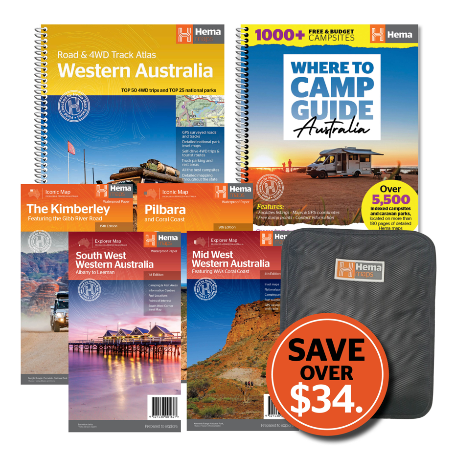
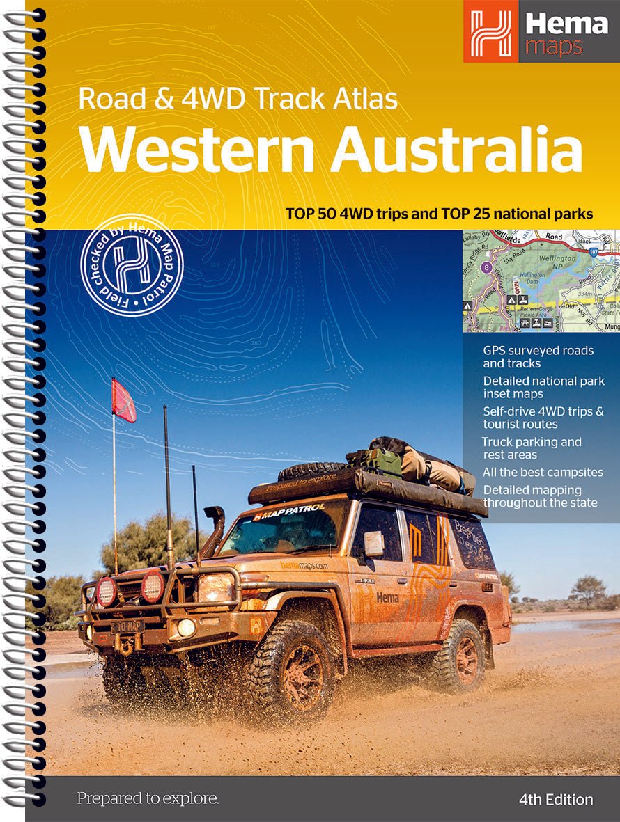
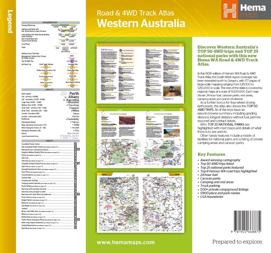
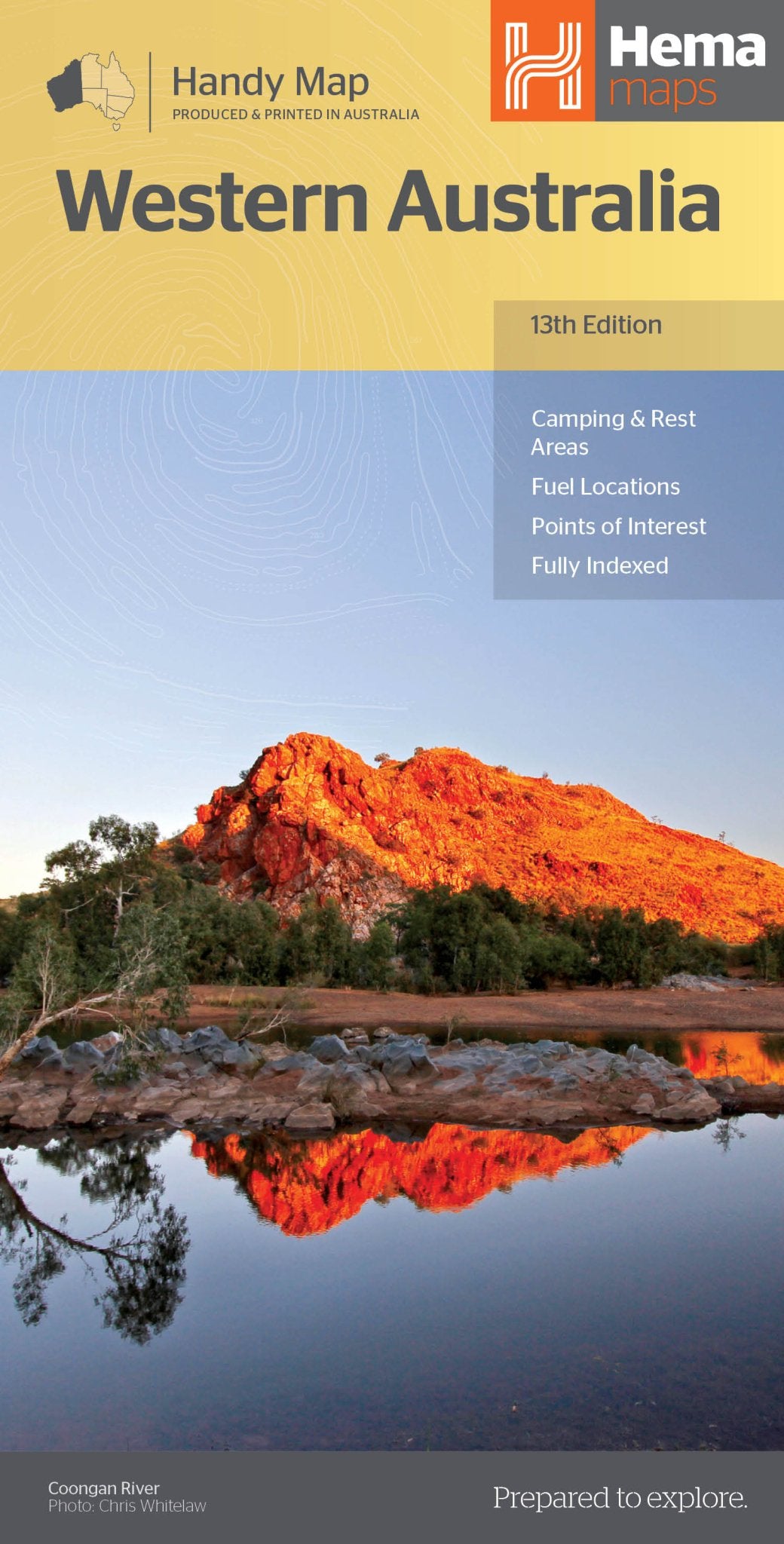
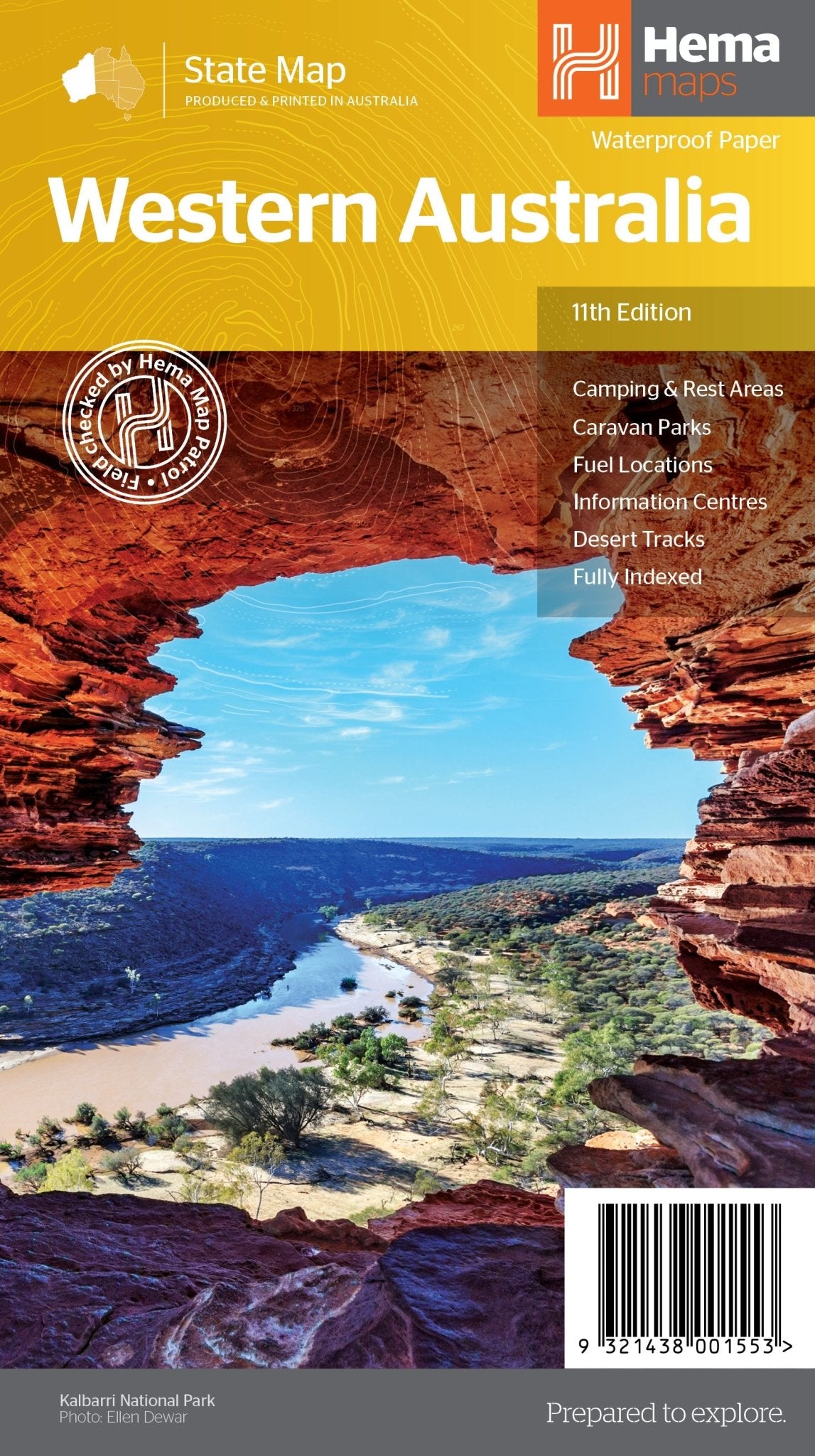
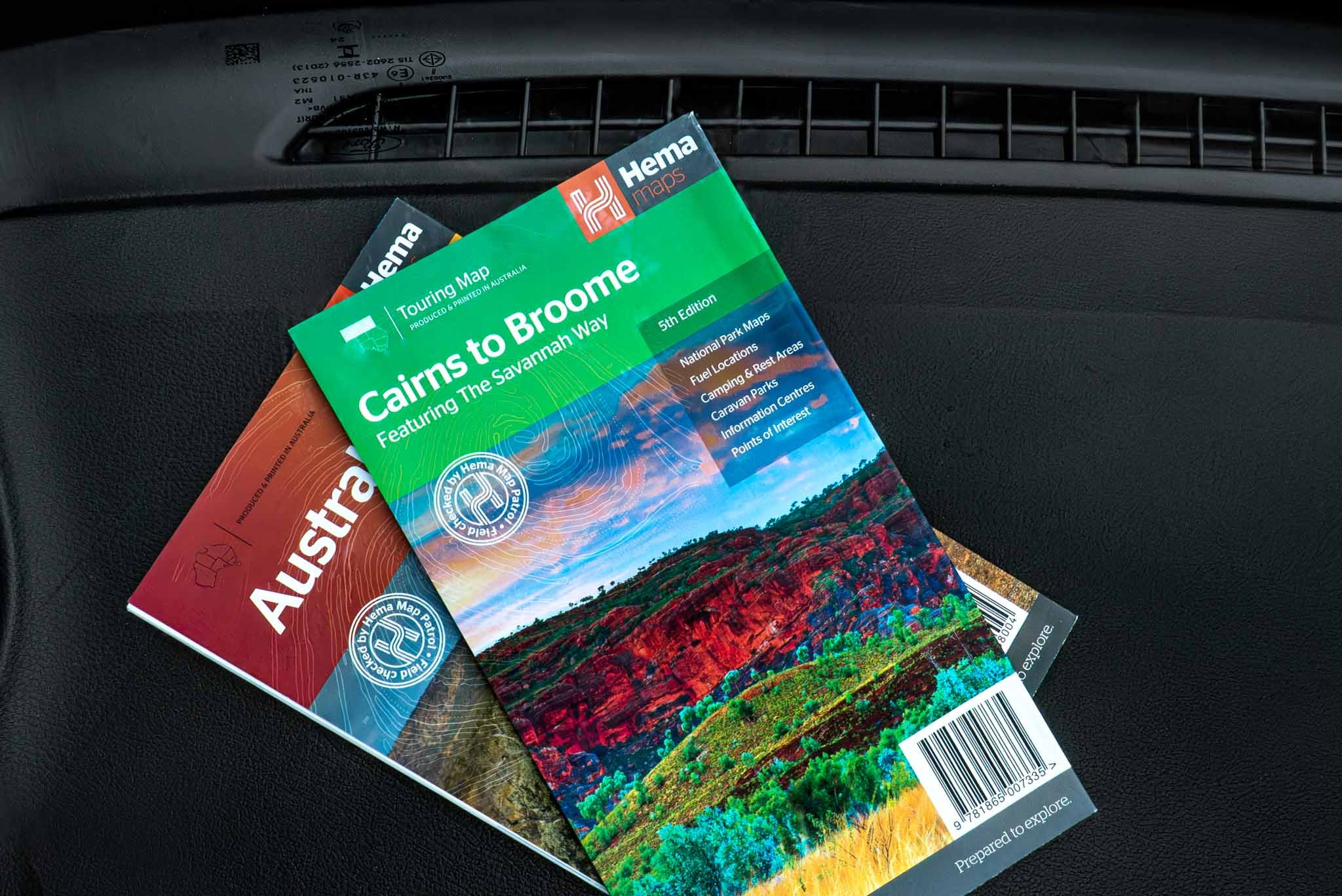
Before setting out for K’gari (Fraser Island), pack a trusted Hema Maps guide or paper map to help plan your route, identify key attractions and understand the island’s tracks and camp areas. Print products are dependable when mobile reception is limited, making them an essential backup for exploring remote beaches, inland forests and sandy 4WD tracks with confidence.


The Ancient Rainforests
The interior of K’gari is extraordinary. It’s the only place in the world where tall rainforest grows directly from sand dunes at elevations of more than 200 metres.
Driving the inland tracks to Central Station takes you beneath towering Satinay and Brush Box trees, with Elk and Staghorn ferns clinging to their trunks and lush ferns covering the forest floor. Satinay timber was so durable, legend has it that it was famously used in construction of the Suez Canal.
Central Station was originally established as a forestry camp and HQ during the island’s logging era. In the 1950s, around 30 houses and a small school stood here for workers and their families.
Today, it’s a peaceful picnic and camping area surrounded by rainforest and giant Angiopteris ferns. One of the highlights is the boardwalk along Wanggoolba Creek, where the crystal-clear water flows so quietly over white sand it can almost look invisible.
Displays and relics around Central Station tell the story of its forestry past. Logging ended in 1991, leaving magnificent pockets of old-growth forest across the island, including the Valley of the Giants, where ancient trees tower above the surrounding rainforest.
Other Historic Locations
Once an active logging island and now a world-famous destination, K’gari has plenty of places where you can uncover its past.
In the south, Ungowa is known for old shipwrecks tucked into the mangroves. There’s bush camping here, along with a day-use area near the old boatshed and the remains of a jetty once used to load timber onto barges bound for the mainland.
Around 23 shipwrecks have been recorded around K’gari. Further south near Southern Road, you can also find the remains of two old barges, the Ceratodus and SS Palmer, both abandoned in 1942.
In the NW there is an old historical logging camp that can be explored. A walking track off Northern Road will lead you to Postons Camp where the workers just literally walked away when the contracts were done in late 1991. There’s huts, workshop areas, a huge array of rusting relics including trucks, little dozers, workshop gear and even a bus. Today, some of the roofs have finally collapsed on the sheds but it’s an interesting insight on what was there. Logging started in 1863 where massive Kauri, Hoop and Cypress Pine were logged as well as Blackbutt, Tallowwood and Satinay (a form of Turpentine) Trees. There were other timber cutters camps on the island but this was a significant one. The camp was built on the top of a hill to get away from the mozzies and midges plus to grab the summer breeze. Throughout the resorts, food shops and Happy Vally pub there is an array of memorabilia to read about from all the ship wrecks, war camps and personal stories that has made the island what it is today.
Now while this is just a little insight to the island, there’s plenty more to see and do, whether you come for a day, a week or longer. Even if you don’t have a 4wd, it’s as easy as parking at River Heads, walk onto the barge for a 40 min trip across and booking into Kingfisher Resort for a luxury stay and jump on one of the many day tours that head out from Kingfisher. K’gari is a place that demands respect but the rewards for the adventurous is with unparalleled natural beauty. Behind the wheel of a 4WD you’ll have the freedom to find your own slice of paradise, whether it’s a remote campsite behind the dunes or a hidden swimming hole in the forest plus delve into the island’s history. It is a land of shifting sands and timeless waters—a reminder that some of the best roads in the world aren't roads at all. There is no right or wrong way how to explore K’gari, but it will leave a lasting impression on anyone.
Practical Tips for K'Gari
Tide Times are Law: Always plan your beach driving around low tide. Aim to be off the beach two hours either side of high tide to avoid being trapped or forced into the soft, treacherous upper dunes.
Recovery Gear: Never travel without a snatch strap, a shovel, and recovery boards (like Maxtrax). Even the most experienced drivers get bogged eventually.
Wash Down: Once you return to the mainland, a thorough underbody salt-wash is non-negotiable. The salt spray of 75 Mile Beach is incredibly corrosive. There are hose down bays at Kingfisher and Eurong Resort. Some house stays also permit vehicle wash-downs.
Permits: You’ll need both a vehicle access permit and camping permits from Queensland National Parks before you arrive. There are cameras in place with vehicle recognition.
Respect the wild Dingoes. Exploring K’gari comes with a responsibility to understand that you’re in their territory and to keep safe. Across the island there are preventive measures in place to keep humans and Dingoes safe from each other, like caged camp and picnic areas. They may be seen all across the island but just keep your distance, and follow the Dingo rules; never feed or approach them, watch your food and keep your kids close if one is wandering close by.

Taking a Caravan to the Island
While there are two barges that go from the mainland across to K’gari, the most popular barge for taking a caravan to the island is the southern one at Inskip Point. It can be challenging at times in the soft sand and this is where tyre pressures are crucial, knowing what works for you. Timing is also crucial where you should aim for around low tide to avoid getting stuck getting off the barge and also heading up the beach. Make sure your tow rig is capable and you have some experience in beach driving. Stick to the beach as the inland tracks are narrow and there is not too many paces to pull over to let other 4wds or tour buses pass. There are plenty of caravan friendly designated spots like Waddy Point, Cathedrals and beach campsites along the east coast.
Now while it’s not illegal to take your van across via Kingfisher Bay, there are restrictions and it’s generally frowned upon. You will need to back your van onto the barge at River Heads. Most of the main tourist attractions on K’gari are on the east coast, so by heading up that way with your van it’s easy to base yourself and head out each day. There is no need to book the Inskip Barge for your travel, it’s a matter of lining up and waiting, payment is done at the time of driving on, or if you have time restraints booking can be done online or at Rainbow Beach prior to loading.
Navigate with a Hema GPS
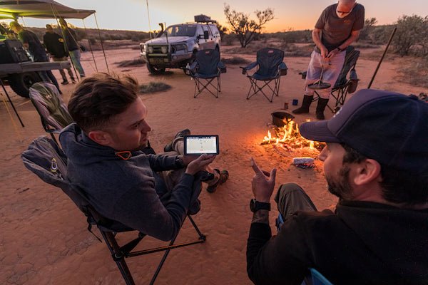
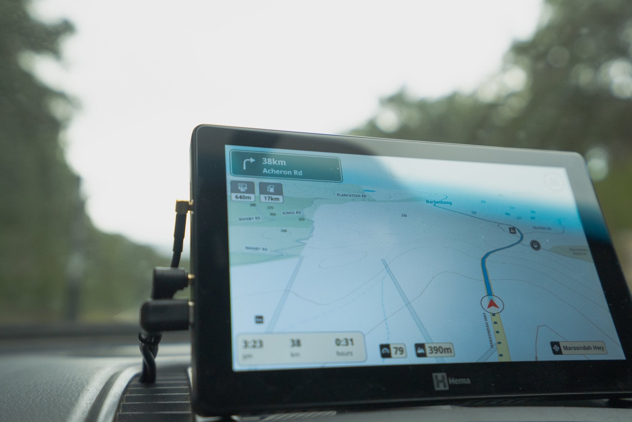
A Hema GPS navigator gives you detailed off-road mapping and clear guidance throughout your K’gari adventure. With Hema’s trusted mapping at your fingertips, you can explore the island’s beach highways, inland tracks and remote destinations while keeping track of your location—even beyond mobile coverage. It’s a practical companion for discovering more and navigating with confidence.


Where is it
About 360km north of Brisbane, this world heritage sand island offers surprises at every turn, with plenty to see and do. The world’s largest sand island has been home to the Butchulla people for thousands of years. Once called Frasier Island, the name K’gari means paradise where it reflects the culture, natural beauty and history associated with the island. There are two barges that you can take your 4wd on across to the island. One departs from the south at Inskip Point and the other departs further north from River Heads at Hervey Bay. Caravans are permitted on the island and suggested only to use the southern Inskip Point barge.
Activities
K’gari is known for stunning swimming holes both salt and fresh water, 4wding through inland tracks or beach driving, amazing fishing opportunities and there’s a host of history across the island. Not only can you stay in one of the two resorts on the island, there’s multiple camp sites scattered across the island suitable for anything from swags to offroad vans, there’s even house stays . If you don’t have a 4wd, hire companies provide organised tours to explore the island. Really, it should read, what can’t you do on the island.
Best Time to Visit
There is no right or wrong time to visit but from August to October offers a perfect balance of pleasant weather, low rainfall, and plenty of wildlife activity. The warmer months make swimming more pleasant but the downfall is higher humidity, while the cooler months make hiking more favourable. Personally, I have found that March has been the perfect time of the year.
Other Queensland Information
There are a few rules and regulations on K’gari due to the amount of traffic, and to help keep visitors, residents and wildlife safe.
If you’re taking your 4WD onto the island, you’ll need the relevant Queensland Parks and Wildlife permits, and you’ll need to follow the signs just as you would on any normal road.
For many, the barge at Inskip Point is where the true adventure starts. Access on and off the island can be tide-dependent, and from the landing you’re straight into a stunning beach drive to begin your K’gari adventure.
If you’re coming across from River Heads near Hervey Bay, the barge lands at Kingfisher Bay Resort, where you’ll find accommodation, food, fuel and resort facilities.
Before you go, check the latest information on vehicle and camping permits, island access and things to see and do on the official K’gari visitor website.
Accommodations and Shops
There are plenty of options when it comes to staying on K’gari, from simple beach camping to sites tucked away in the rainforest at Central Station, lakeside camping and more remote spots for keen 4WDers along the west coast.
Off-road caravans are generally limited to the east coast, with popular options around Cathedral Beach and further north at Waddy Point.
If camping isn’t your thing, there are plenty of holiday houses to rent, which can save you hauling a mountain of gear across to the island. You can also stay at one of the main resorts, including Kingfisher Bay Resort or Eurong Beach Resort.
Fuel is available at Kingfisher Bay, Eurong, Happy Valley and Orchid Beach, although expect to pay a little more than you would on the mainland. These areas also have small shops where you can top up on groceries, souvenirs and other essentials.
And if you’re passing through Eurong, the bakery is well worth a stop for something sweet and a coffee.