Explore further. Navigate smarter.
Hema Maps is an Australian based mapping and publishing company that was founded in 1983. The company has expanded purposefully to the point where today it has comprehensive Australia and overseas map coverage in a variety of forms including folded maps, atlases, guides and digital products such as apps and dedicated GPS navigation systems.
With a keen focus on off-road touring, Hema Maps has steadily built its reputation as masterful map makers in the four-wheel driving and outdoor adventure industries. This reputation has come to the fore thanks to the company’s relentless pursuit of accurate cartographic detail relevant to outdoor explorers, realised by its unparalleled updating process.
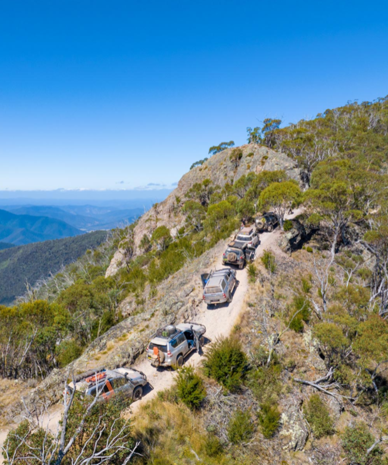
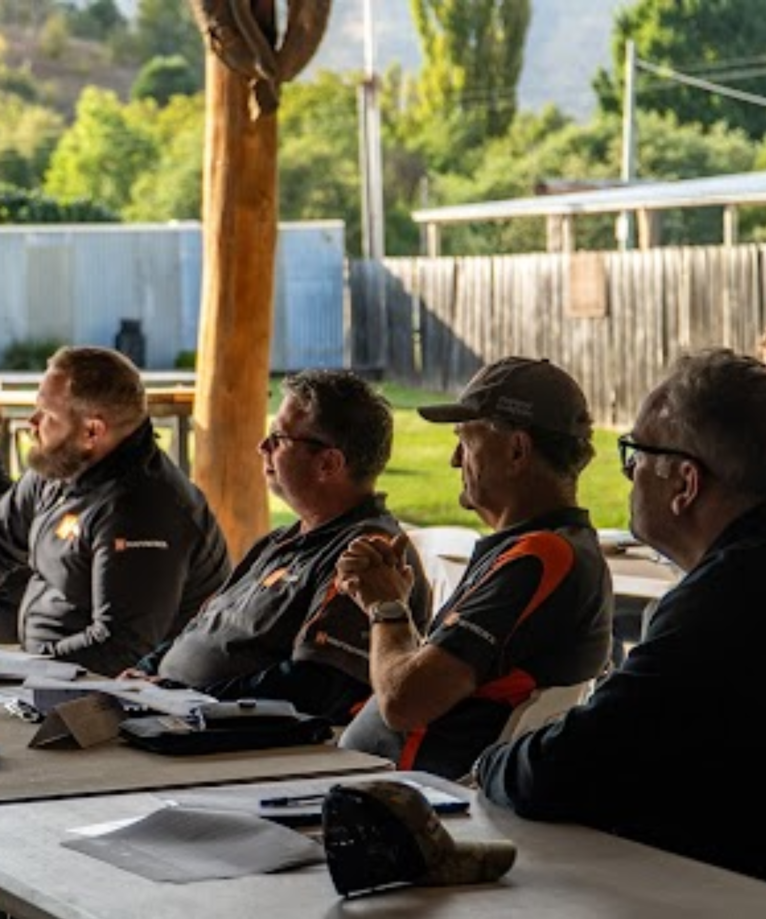
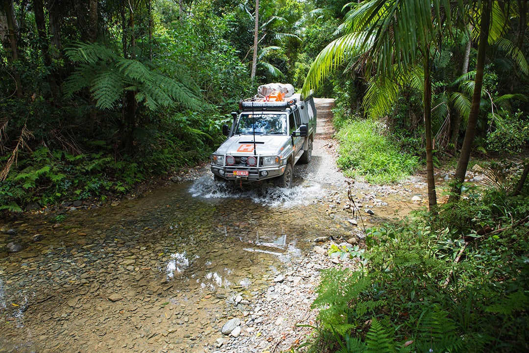
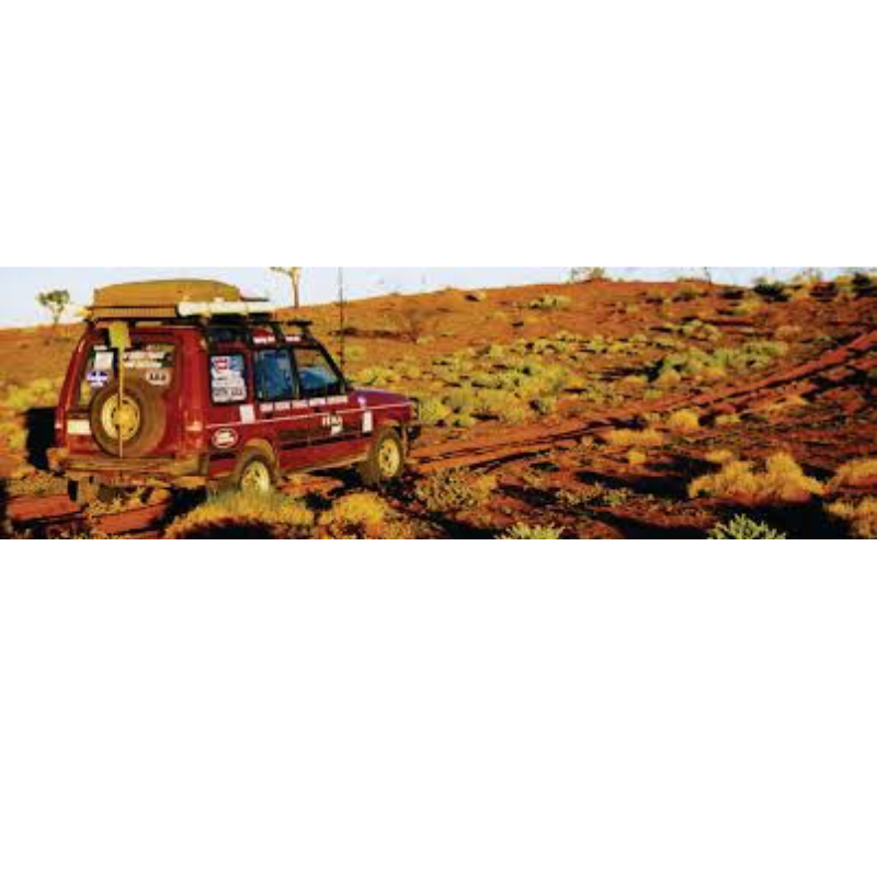
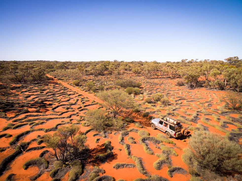
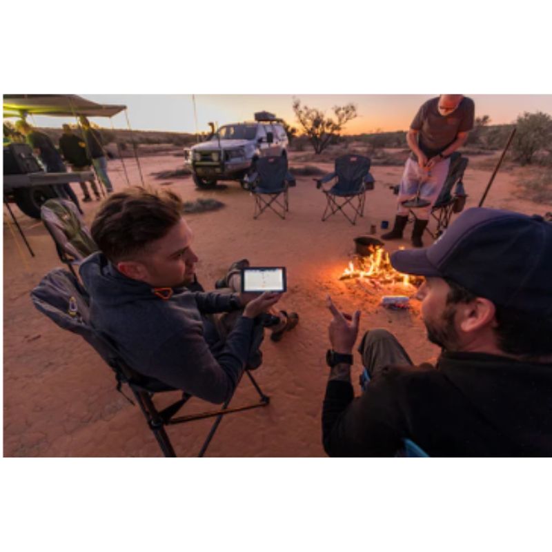
The job of collecting and updating this data falls to field-teams known as the Map Patrol, who are responsible for exploring and mapping the vast array of off-road destinations in Australia to keep Hema Maps’ data accurate and up-to-date.
Since 1996, Hema Maps has GPS mapped over 690,000km of tracks and 545,000km of unsealed roads throughout Australia, and will continue to pursue premium quality and accuracy within its product range into the foreseeable future.
History of Hema Maps
Where Hema began
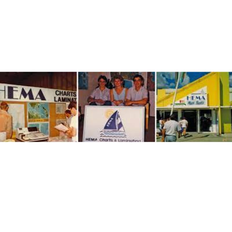
Hema Maps' history stretches back to when the company was founded over 40 years ago in 1983. Taking the first two letters from founders Henry and Margaret Boegheim’s first names, ‘Hema’ originally distributed and sold maps and marine charts when it opened its doors in 1983.

History of Hema Maps
The first 4WD
In 1989 the two founders purchased their first 4WD and immediately crossed the Simpson Desert, traversed the Gunbarrel Highway and took on Cape York.

History of Hema Maps
It gets in your blood
Astounded at the poor map quality for Australia’s rugged remote locations, the company swiftly moved into the art of 4WD map-making with maps of Cape York, the Kimberley, the Flinders Ranges and Top End within a matter of years.
This culture of taking the road less travelled swept through the entire business, culminating in the decision to heavily invest in the new technology of GPS to field-check maps in 1996. At the time, the technology was bulky and using it to field-check mapping while driving tracks in real-time was tedious.
History of Hema Maps
The First Expedition
“Despite all the possible difficulties, the ability to do our own mapping so accurately was unique. It was like lightning struck,” says Henry.
Maps that were digitally crafted and digitally updated using GPS had superior accuracy and presentation to those drawn by traditional methods, which gave Hema Maps the impetus to undertake the biggest-ever mapping expedition by a private company in Australia: the 1998 Great Desert Tracks expedition
History of Hema Maps
The Great Desert Tracks
This expedition produced highly accurate mapping for an area almost completely devoid of maps suitable for 4WD explorers. To make the Great Desert Tracks series, the field checking was divided between numerous teams known as the Map Patrol, who drove every outback road and track in Australia’s arid centre to gather the data.
The Great Desert Tracks series gave explorers the confidence to discover outback Australia, and in the process assured Hema Maps that digital technology was the future for both producing and using navigation products. The company followed this by digitally field checking and redrawing its entire range of core 4WD maps: the Kimberley, Cape York, the Flinders Ranges, Fraser Island and High Country Victoria.
History of Hema Maps
The Digital World
In 2007 Hema Maps put its digital database to another use with the Hema Navigator HN1. As the first portable navigation system in Australia to offer both on and off-road navigation, the HN1 pre-packaged all the navigation off-road travellers needed in one device.
A dedicated technical support team was assembled to back the move into digital navigation, which was new territory to a company that previously produced traditional paper maps, atlases and guides.
Five units have followed the Hema Navigator HN1, each bringing new features to seamlessly connect different elements of four-wheel driving and touring such as camping, caravanning and general trip preparation. This connectivity between content and navigation is exemplified in the market-leading Hema HX-2 Navigator, which combines premium-quality off-road maps with touring points of interest and turn-by-turn navigation to guide explorers anywhere in Australia.

History of Hema Maps
Hema Maps Today
In today’s technology, smartphones and tablets embody this multi-purposed belief, with Hema Maps’s mobile apps exemplifying the wide range of content and functions expected from digital devices today. Features and usability aside what Hema has always done best is what is most important: make reliable and detailed map content.
For the company that has built a reputation around exploration, the real adventure is continuing this trend; an unknown path of countless adventures that started in 1983, which for the passionate explorers at Hema Maps is the journey that will never end.