

Driving the Gunbarrel Highway: The Ultimate 4WD Desert Adventure
830km of corrugations, remote desert tracks and legendary outback history. The Gunbarrel Highway is one of Australia's great 4WD challenges, but this is one adventure where preparation is everything.

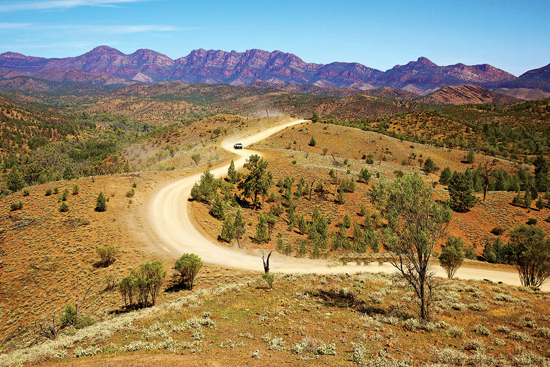
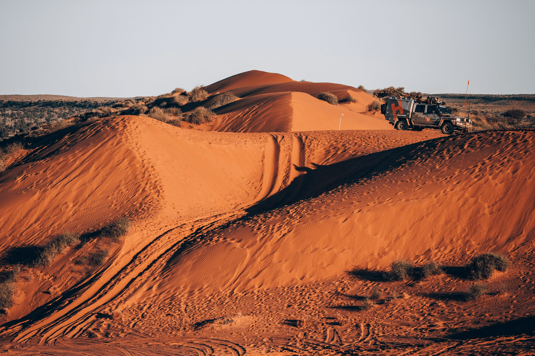
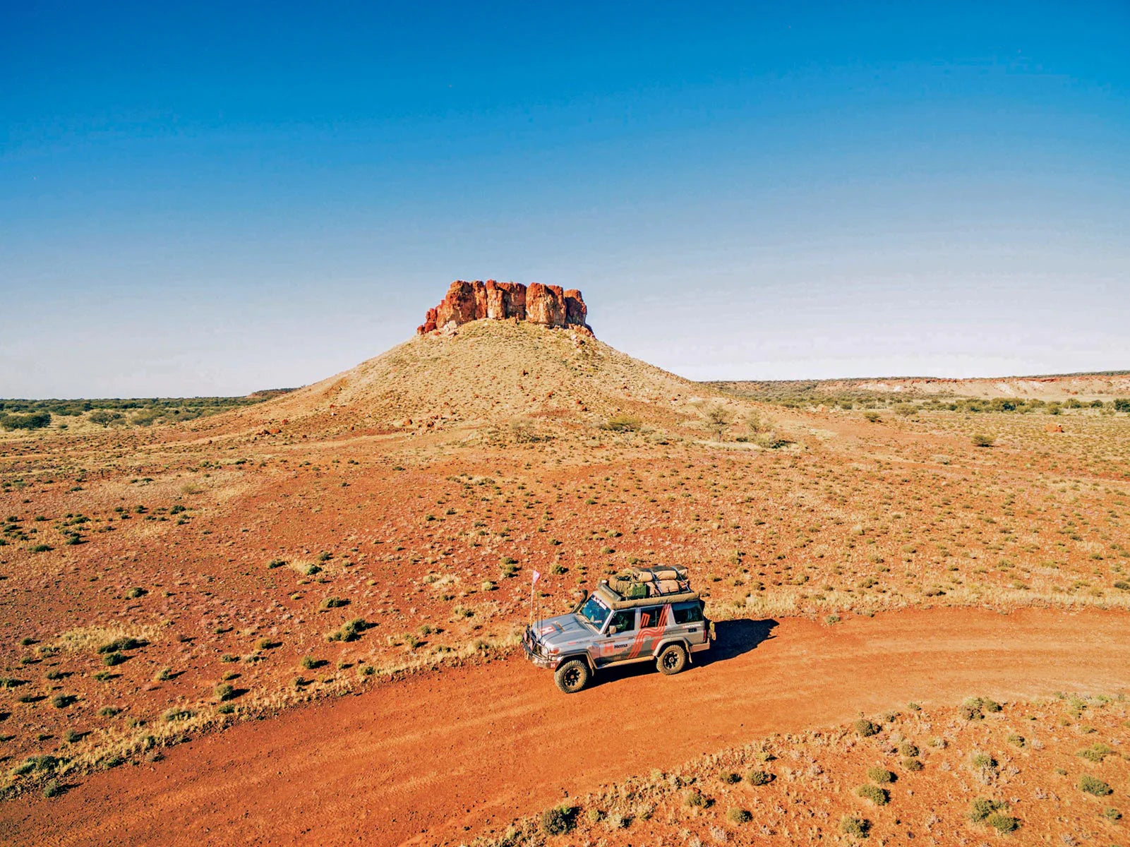
There's something about a track disappearing into the desert that gets the heart racing. Endless horizons, red dirt stretching as far as the eye can see and the promise of adventure well beyond the beaten track.
Welcome to the Gunbarrel Highway.
Don't be fooled by the name. This is no ordinary highway. It's one of Australia's most demanding remote 4WD routes, where relentless corrugations, rocky sections, washaways and vast distances test both driver and vehicle.
Stretching approximately 830km between Wiluna and Warburton in Western Australia, the Gunbarrel is a journey through spectacular desert country and a remarkable chapter of Australian exploration history.
For experienced 4WD travellers, it's bucket-list territory. But it's not a track to underestimate
Gunbarrel Highway: Essential trip information
Route |
Wiluna to Warburton, Western Australia |
Distance |
Approximately 830km |
Suggested time |
Allow 6–10 days for a relaxed itinerary, subject to permit conditions |
Difficulty |
Difficult — experienced remote-area 4WD travellers only |
Best time |
May to September |
Vehicle |
High-clearance 4WD with low-range capability |
Fuel |
Wiluna, Carnegie Station and Warburton, subject to availability |
Accommodation |
Remote bush camping and basic station/roadhouse facilities |
Communications |
Satellite communications, PLB and UHF recommended |
Permits |
Required for relevant Aboriginal land sections |
Navigation |
Detailed offline mapping and printed backup maps essential |
A highway with a legendary history
The Gunbarrel Highway is closely linked to one of Australia's best-known outback surveyors, Len Beadell.
During the 1950s, Beadell and his Gunbarrel Road Construction Party established a network of remote roads across Australia's arid interior, supporting the country's weapons testing and defence programs.
Beadell liked his roads straight, preferably as straight as a gun barrel, and the name stuck.
His legacy extends far beyond the Gunbarrel, with other iconic routes including the Gary Highway, Anne Beadell Highway, Connie Sue Highway and Sandy Blight Junction Road.
Of course, these were not unexplored lands. Aboriginal peoples have travelled, lived and maintained deep cultural connections across Australia's deserts for tens of thousands of years.
Today, the Gunbarrel takes travellers through country rich in First Nations history, exploration stories and the legacy of Australia's early road-building pioneers.
It's a journey where every kilometre has a story to tell.

Planning your Gunbarrel Highway adventure
This isn't a trip you tackle on a whim.
The Gunbarrel demands a capable 4WD, sound recovery skills, reliable navigation and complete self-sufficiency.
Expect long stretches without fuel, limited communications, minimal facilities and track conditions that can change dramatically following rain.
While it's possible to cover sections relatively quickly in favourable conditions, this is remote country worth exploring at a measured pace.
A relaxed itinerary of six to ten days allows time to appreciate the landscape, explore historical sites and accommodate unexpected delays. Your actual schedule must comply with permit and camping restrictions.
Most importantly, don't make this your first desert 4WD adventure. Build your experience on less demanding tracks before heading into the Gibson Desert.

The route: Wiluna to Warburton
1. Wiluna — your gateway to the desert
Your Gunbarrel adventure begins in Wiluna, the gateway to two of Australia's most iconic outback journeys: the Gunbarrel Highway and the Canning Stock Route.
This is your opportunity to get everything sorted before heading into remote country.
Fill your fuel tanks, check your tyres, stock up on supplies and make sure your communications and navigation equipment are working.
Confirm road conditions with the Shire of Wiluna immediately before departure. Don't rely on a track report from several weeks ago.
Once you leave town, the landscape opens up and the real adventure begins.
2. Carnegie Station — the last major resupply opportunity
Approximately 340km east of Wiluna, Carnegie Station is an important landmark on the Gunbarrel.
The journey here takes you through vast stretches of remote country, where corrugations and changing track surfaces demand constant attention.
Carnegie Station has historically offered fuel, basic supplies, accommodation and camping facilities, but availability should always be confirmed before departure.
It's also the perfect place to stop and give your vehicle a thorough inspection.
Check tyre pressures and condition, inspect suspension components, tighten anything that's worked loose and make sure your equipment is secure.
The next stretch towards Warburton is where the Gunbarrel really earns its reputation.
3. Mangkili Claypan and Geraldton Bore — into the Gibson Desert
Beyond Carnegie Station, the track becomes increasingly challenging.
Expect narrow sections, rocky outcrops, heavy corrugations and areas that can become boggy after rain.
Mangkili Claypan, near the David Carnegie Road junction, is one of the interesting geographical features along the route.
Claypans can appear firm when dry but become dangerously slippery or impassable when wet. Never assume a dry-looking surface will support your vehicle.
Further along, Geraldton Bore is a well-known landmark, identifiable by the trees surrounding it.
While there are historic wells and bores marked along the Gunbarrel, never depend on them as your primary water supply. Availability and water quality cannot be guaranteed.
Carry all the water you need, plus an emergency reserve.
4. Everard Junction — where desert tracks meet
Everard Junction marks the intersection of the Gunbarrel and Gary highways.
The Gary Highway heads north through the Gibson Desert towards Gary Junction, another remarkable route associated with Beadell and his road construction team.
This is a great place to appreciate the scale of the desert track network and the challenges faced by those who surveyed and built it.
Today, detailed mapping and GPS technology help us navigate these landscapes. It's worth remembering just how different the experience was for the early survey parties.
5. Camp Beadell and Mount Beadell — a piece of outback history
Camp Beadell and nearby Mount Beadell are among the historical highlights of the journey.
At Mount Beadell, a memorial and replica theodolite commemorate the pioneering surveyor.
Take time to appreciate the surrounding desert landscape and the extraordinary isolation of this part of Australia.
It's these moments that make the Gunbarrel so memorable.
No traffic, no crowds, just the vastness of the Australian outback and the satisfaction of reaching somewhere few travellers experience.
6. Heather Highway and Warburton — journey's end
Further east, the Heather Highway connects the Gunbarrel with the Great Central Road and Warburton.
After days of remote desert driving, Warburton Roadhouse provides a welcome opportunity to refuel, resupply and prepare for the next leg of your journey.
For travellers continuing towards the Red Centre, the Great Central Road opens up another iconic outback adventure, leading towards Yulara and Uluṟu–Kata Tjuṯa National Park.
Just make sure your permits, fuel planning and vehicle preparation are in order before continuing.
Gunbarrel Highway permits and access
One of the most important parts of planning a Gunbarrel Highway trip is understanding where you can legally travel.
The original Gunbarrel Highway is no longer accessible to the public along its entire historical alignment.
The abandoned section between Warburton and Warakurna is not open to general public travel, and other sections have specific access restrictions.
Depending on your intended route, permits may be required from:
Western Australian Department of Planning, Lands and Heritage
Central Land Council for relevant Northern Territory sections
Permits can include restrictions on transit times, camping and access to communities.
Always check the latest requirements directly with the relevant authorities before setting off.
Respecting Aboriginal land, cultural sites and local access conditions is an essential part of responsible outback travel.

Fuel planning: Know your range
Fuel management is one of the biggest considerations when tackling the Gunbarrel Highway.
The approximate 340km between Wiluna and Carnegie Station is only the beginning.
From Carnegie Station towards Warburton, you're looking at roughly another 500km of remote travel, with limited opportunities to resupply.
Fuel consumption can increase significantly on corrugated, sandy and rocky tracks, particularly when travelling heavily loaded.
Before departure:
Calculate your vehicle's realistic fuel consumption in difficult off-road conditions.
Allow a generous reserve for detours, delays and unexpected conditions.
Confirm fuel availability at Carnegie Station and Warburton.
Don't rely on a single unconfirmed fuel supply.
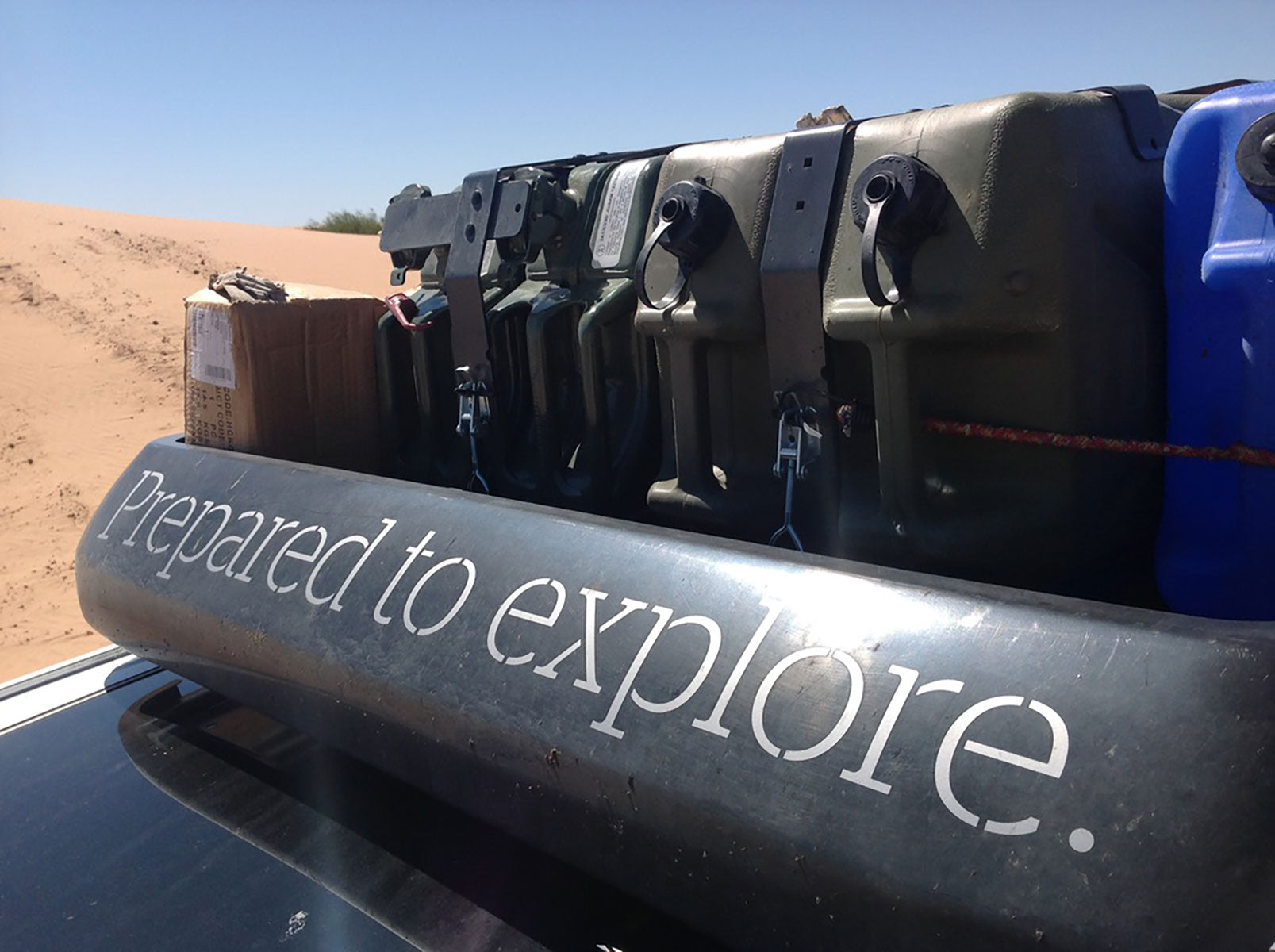
Ensure additional fuel is carried safely and in suitable containers.
Remember, the distance shown on the map is only part of the equation. Track conditions, tyre pressures, vehicle load and driving speed all influence your actual range.
Navigation: Know where you're going
When you're hundreds of kilometres from the nearest town, reliable navigation is essential.
The Gunbarrel crosses an enormous, sparsely populated landscape, with remote junctions, historic tracks and routes that may be closed or restricted.
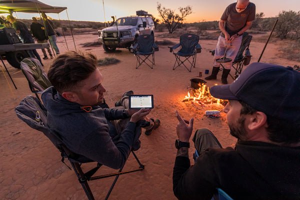
This is not somewhere to rely on mobile reception or online maps.
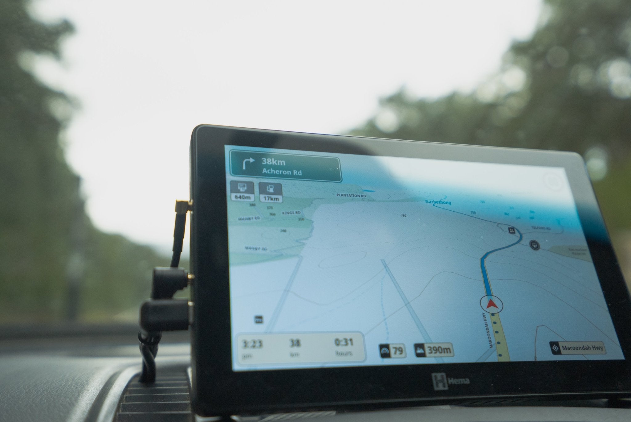
Before leaving Wiluna, download all required offline maps, review your planned route and identify key waypoints, including fuel, permitted camping areas and important junctions.
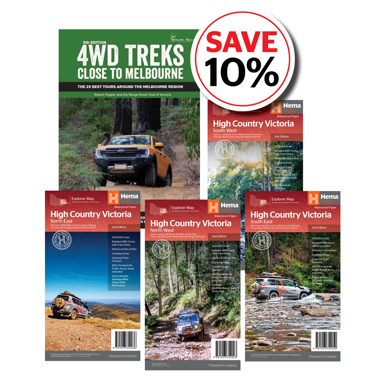
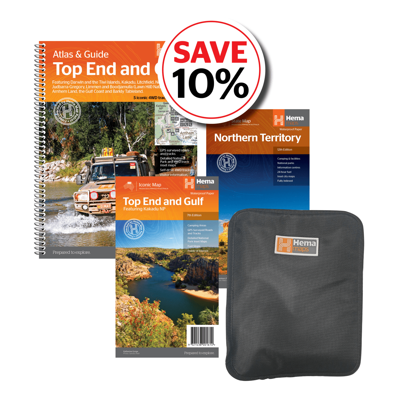
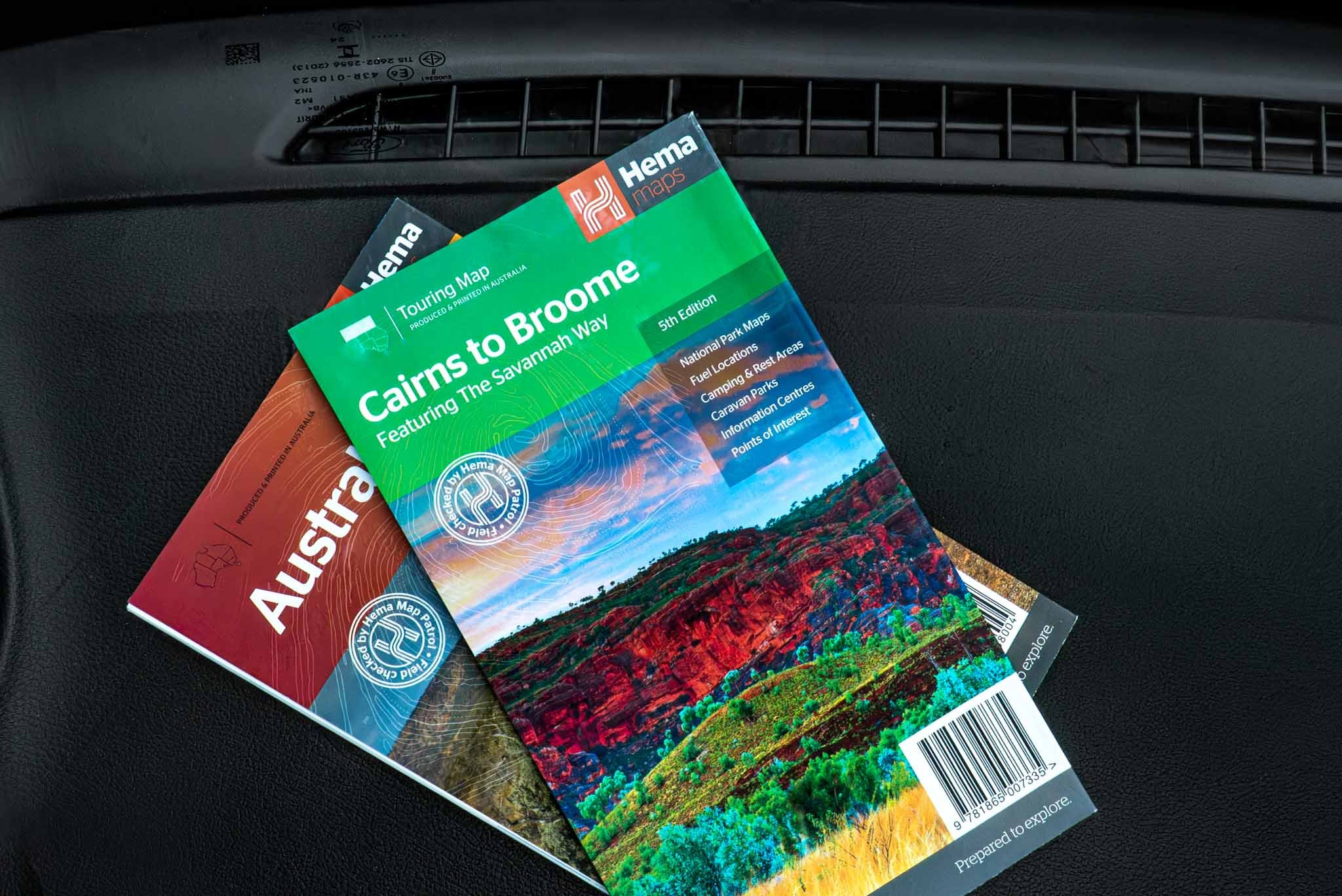
Hema's detailed desert mapping is designed to help travellers prepare for journeys like this.
Useful trip-planning resources include:


Preparing your 4WD for the Gunbarrel
The Gunbarrel is as much a test of preparation as it is of driving ability.
Corrugations, washaways, rocks and long distances place enormous demands on both vehicle and driver.
Vehicle and recovery equipment
Ensure your 4WD has been thoroughly serviced and inspected before departure.
Carry suitable recovery equipment, a tyre repair kit, compressor, essential tools and spare parts relevant to your vehicle.
Check tyre condition carefully and adjust pressures and speeds to suit the terrain, vehicle load and tyre manufacturer's advice.
Communications and emergency equipment
Mobile phone reception is extremely limited or nonexistent across much of the route.
Carry a reliable satellite communication device, a registered personal locator beacon and a UHF radio for communicating with nearby vehicles.
Leave a detailed trip plan with someone at home, including your intended route and expected check-in times.
Water, food and camping supplies
Self-sufficiency is essential.
Carry sufficient drinking water, food and emergency provisions to accommodate unexpected delays.
Don't rely on natural water sources, historic wells or bores.
Use only permitted camping areas or locations where you have obtained appropriate permission, and follow fire restrictions and leave-no-trace principles.
When is the best time to drive the Gunbarrel Highway?
The most favourable touring period is generally May to September, when daytime temperatures are cooler and conditions are more suitable for desert travel.
Outside these months, extreme heat can make even a minor breakdown dangerous.
Rain is another major consideration. Tracks can quickly become impassable, particularly around claypans and low-lying sections.
Before departure, check weather forecasts and current road reports from the Shire of Wiluna and Shire of Ngaanyatjarraku.
Never attempt to drive a closed road.
Is the Gunbarrel Highway worth the challenge?
For experienced 4WD adventurers, absolutely.
The Gunbarrel isn't about covering kilometres as quickly as possible. It's about the challenge of remote travel, the history of the track and the extraordinary desert landscape.
It's the satisfaction of navigating your way through some of Australia's most isolated country, setting up camp beneath a sky full of stars and knowing you've prepared properly for the journey.
But the Gunbarrel demands respect.
Build your experience, know your vehicle, carry the right equipment and plan every stage of the adventure.
Because when you're heading this far off the beaten track, preparation is what gives you the confidence to explore.
Plan well. Travel safely. Explore further with Hema Maps.

Gunbarrel Highway trip-planning resources
Important: Road conditions, permits, fuel availability and accommodation can change. Always confirm the latest information with the relevant authorities before travelling.
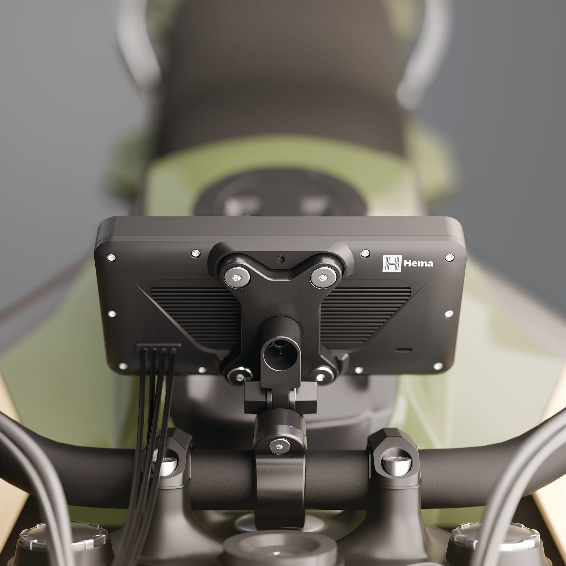
Taking on the Gunbarrel Highway demands careful preparation, dependable navigation and the right gear for remote travel. Hema Maps digital navigators bring dedicated touring guidance to your vehicle, with Hema Nav and access to 4WD Maps to help you explore Australia’s tracks and plan your journey. Choose the Hema navigator that suits your setup and get ready for your next outback adventure.
Hema Maps GPS Navigators