


Hema Maps Editorial, Pics Matt Williams, Ben Carceller and Adam Craze
Australia’s 5 Most Remote 4WD Tracks
Remote desert crossings, permit changes and outback travel advice
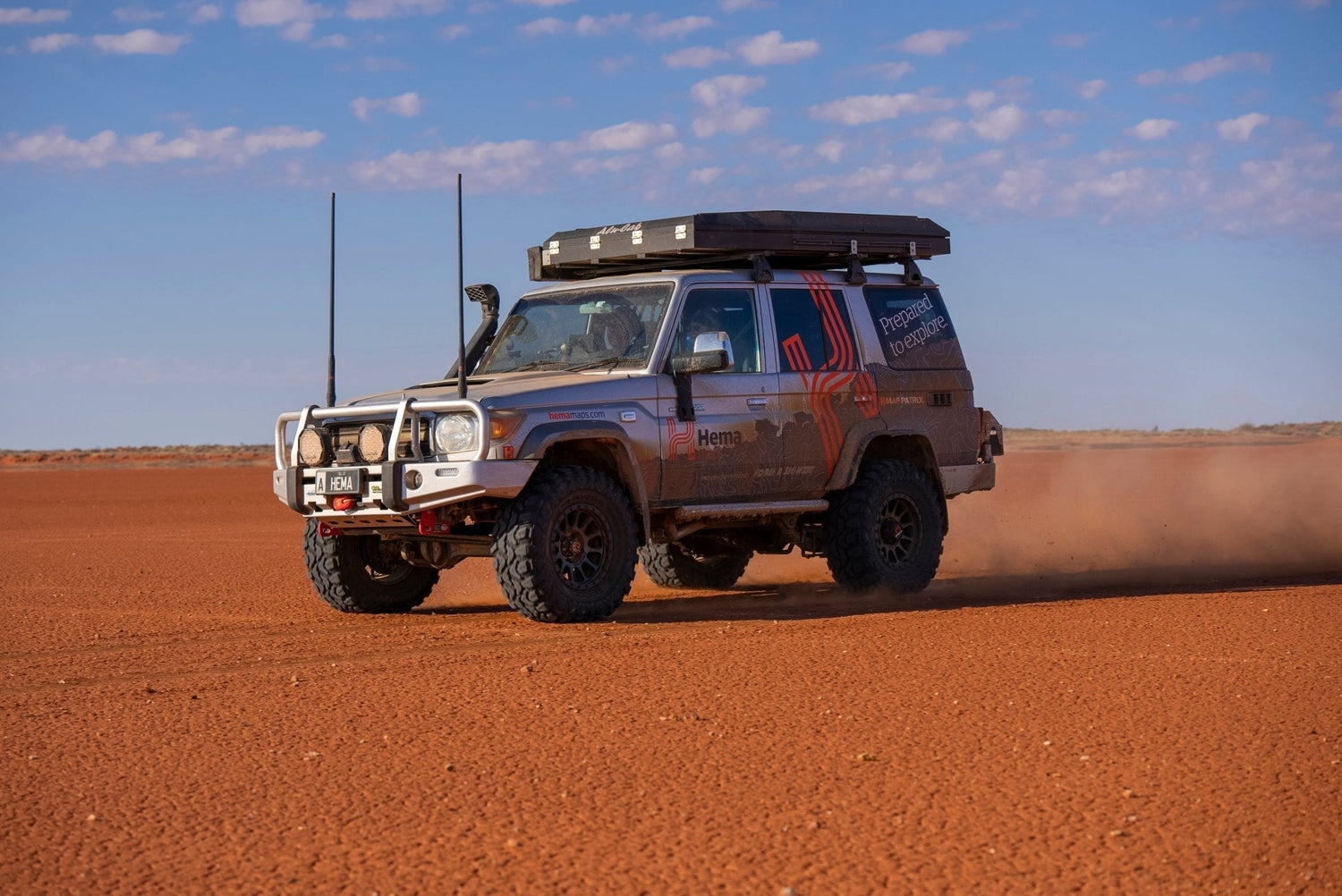
If your idea of adventure involves endless desert horizons, days without seeing another vehicle and complete off-grid isolation, Australia’s remote desert tracks deliver in a way few places on Earth can.
But these routes aren’t casual weekend drives. They demand serious preparation, reliable navigation, recovery gear, communications equipment and up-to-date track information.
Here’s a look at five of Australia’s most remote 4WD tracks - including current permit requirements, changing conditions and what travellers should know before heading into the outback.
1. Anne Beadell Highway (WA/SA)

The Anne Beadell Highway remains one of Australia’s ultimate remote desert crossings, stretching roughly 1325km between Laverton in Western Australia and Coober Pedy in South Australia.
Built by legendary surveyor Len Beadell, the route traverses isolated sections of the Great Victoria Desert through dune country, corrugated clay pans and vast spinifex plains.
Why it’s still one of Australia’s toughest remote drives
- Extremely limited fuel access
- Multiple permit zones
- Very low traffic volumes
- Frequent corrugations and washout
- Woomera Defence Area closures
Travellers need to pay close attention to updated permit systems and Defence access notifications before departure. Tourist permits are still required for sections through the Woomera Prohibited Area.
Current reports continue to recommend satellite communications and full recovery equipment, with many travellers taking five to seven days to complete the crossing.
Best time to travel
May to September
Fuel and Permit considerations
Ilkurlka Roadhouse remains the only major fuel stop on the route and is the Visitor Centre with links to necessary permits for both South Australia and Western Australia.
2. Madigan Line (NT/QLD)

For experienced desert travellers, the Madigan Line remains one of the most isolated and rewarding Simpson Desert crossings.
Following the campsites of Cecil Madigan’s 1939 expedition, this northern Simpson route is far less travelled than the French Line or QAA Line and often feels more like a remote navigation exercise than a defined track.
What makes the Madigan Line unique
- Minimal signage
- Remote dune crossings
- Soft sand and cross-country sections
- Extremely limited traffic
- Significant self-sufficiency required
Unlike the more popular Simpson crossings, the Madigan Line sees very few vehicles each season, increasing both the sense of adventure and the need for careful planning.
Travellers should carry sufficient fuel for the full crossing, plus emergency reserves, recovery gear and reliable communications.
Best time to travel
April to October
Fuel and Permit considerations
Travel is from West to East with the longest distance between fuel stops 716km.
Fuel is available at on the Western Side at Mt Dare Hotel. Website: Mt Dare Hotel
While on the Eastern Side Birdsville has 2 fuel stations.
Birdsville Roadhouse. Website SERVICES BIRDSVILLE ROADHOUSE | VISIT BIRDSVILLE
Birdsville Fuel Service. Located at 1 Adelaide Street, Birdsville, QLD 4482
Permits are required from 2 entities.
The Madigan Line is managed by the Central Land Council.
Permits - Central Land Council
Parks South Australia manage the Simpson Desert Permits. A Desert Parks Pass is required.
Desert Parks - National Parks and Wildlife Service South Australia
3. Gary Highway (WA)

Despite the name, the Gary Highway feels nothing like a conventional highway.
Constructed by Len Beadell and the Gunbarrel Road Construction Party, this remote two-wheel track cuts through isolated spinifex country linking several iconic desert routes.
Why travellers love it
- True isolation
- Historic desert exploration route
- Sparse traffic
- Raw desert scenery
- Links to Gunbarrel Highway and Gary Junction Road
Compared to neighbouring tracks, the Gary Highway is less frequently travelled due to its remoteness and limited services.
Fuel and Water planning remains critical, with some route combinations requiring close to 900km between fuel stops depending on direction and side trips.
Best time to travel
May to September
Fuel and Permit considerations
891kms Kiwirrrkurra to Warburton
878kms Kiwirrkurra to Carnegie Station (Wiluna)
675kms Kunawarritji to Warburton
662kms Kunawarritji to Carnegie Station (Wiluna)
Permits while not needed for the Gary, adjacent tracks of The Gunbarrel Highway and Gary Junction Road do.
Permits - Ngaanyatjarra Council Group
4. Talawana Track (WA)

The Talawana Track remains one of the most underrated remote crossings in Australia.
Running near the southern boundary of Karlamilyi National Park and intersecting the Canning Stock Route, this rough desert track delivers classic Gibson Desert scenery and true outback solitude.
What to expect
- Corrugations
- Sand sections
- Long distances between support services
- Minimal traffic
- Highly remote campsites
- Wildlife: Watch for Camels and Dingoes
Originally the final track built by Len Beadell, the Talawana remains popular among experienced remote-area tourers looking to combine multiple desert routes into larger expeditions.
Best time to travel
May to September
Fuel and Permit considerations
Longest Distance for fuel 523kms Kunawarritji to Parnnngurr
No permits are required.

5. Nyangumarta Highway (formerly Kidson Track) (WA)

Formerly known as the Kidson Track, the Nyangumarta Highway cuts through the Great Sandy Desert and remains one of Australia’s most remote outback routes.
The route was officially renamed to recognise the Traditional Owners of the region and now operates under updated permit systems managed by the Nyangumarta Warrarn Aboriginal Corporation.
Why it’s a bucket-list desert crossing
- Vast desert scenery
- Remote dune systems
- Long stretches without services
- Extremely limited water access
- Strong sense of isolation
Conditions can vary dramatically depending on weather and grading schedules, so checking local road reports before departure is essential.
Best time to travel
May to September thought watch for rain
Fuel and Permit considerations
Longest distances for fuel
139km Finke to Maryvale Station
318kms Kulgera to Maryvale Station (If Finke unavailable)
Permits issued directly through the Nyangumarta Warrarn Aboriginal Corporation.
Before You Go: Essential Remote Travel Advice
These tracks are among the most isolated in Australia and should never be underestimated.
For all remote-area travel:
- Carry satellite communications
- Use paper maps and GPS navigation
- Check permits and closures
- Carry extra fuel and water
- Monitor weather and road reports daily
Road closures and changing conditions remain common across Australia’s desert regions. Please check the region before travelling.
Northern Territory: Road Report NT
South Australia: Traffic SA - Department for Infrastructure and Transport
Western Australian Road: WA Main Roads Travel Map - Map


