Australia
Border Update -
Closed to International Visitors (ex New Zealand) |
Australia’s international borders are closed. Only Australian citizens, residents and immediate family members can travel to Australia. |
Restrictions on New Zealand Visitors |
All flights from New Zealand to Australia are now classified as Red Zone flights for the 72 hour period from 12.01am on 15 February. No quarantine free flights |
For more information refer to: https://www.health.gov.au/news/health-alerts/novel-coronavirus-2019-ncov-health-alert/coronavirus-covid-19-restrictions/coronavirus-covid-19-advice-for-international-travellers
La Nina -
The Bureau of Meteorology announced the beginning of a La Niña on the 29th September 2020, which most likely means a wet summer period for eastern and northern regions.
La Niña is a recurring event in our weather cycle, not to be confused with the warmer El Niño, that operates over periods of one to eight years. It manifests when strong equatorial trade winds change ocean currents, drawing cool water up to the surface in parts of the Pacific Ocean, resulting in a pile up of warm surface water east of Australia. This leads to a boost in convection that has a pronounced effect on the global climate.
Every La Niña event is different, but according to the BOM this time Australia is likely to see:
- More rainfall in Eastern, Central, and Northern Australia
- Decreased daytime temperatures south of the tropics
- More tropical cyclones
- Increased chance of widespread flooding
- Longer, less intense heat waves in south east of Australia
- Earlier First Rains across Northern Australia
- Less risk of fires in areas that receive more rainfall
Northern Territory
Border Update -
Interstate Restrictions |
All arrivals to the Northern Territory must complete 14 days of supervised quarantine at your own expense, if you have recently been in an active declared COVID-19 hot spot (VIC Hotspots include: Metropolitan Melbourne). |
No Internal Travel Restrictions |
There are no internal restrictions although any non-residents wanting to go into a remote community must still follow all the requirements of land councils and local communities, including checking if you need a land council permit to go there. |
For more information refer to: https://coronavirus.nt.gov.au/travel/quarantine
Regional Update -
- A slow moving trough is located near the base of the Top End and southern Gulf of Carpentaria coast. A ridge of high pressure is directing drier air over central Australia. Today, a trough over inland Queensland will move into the Northern Territory and cause humidity to return to central districts. On Friday, a trough over Western Australia will approach the southwest.
- With La Niña conditions, the weather is looking wetter than average over the next couple of months.
- Austral Downs Road - Flooding - Road Closed - Between Barkly Highway intersection and Sandover Highway int.
- Amanbidji Access Road - Flooding - Road Closed - Between Victoria Highway intersection and Amanbidji.
View the live interactive Road Conditions Map HERE
Western Australia
Border Update -
Interstate Restrictions |
Effective Thursday, February 4, travel from NSW and VIC is permitted, subject to 14 days of self-quarantine and COVID-19 testing. Travel from VIC to WA is now classified as ‘Medium risk’. Very low risk states and territories (No community cases in 28 days)
Low risk states and territories (Less than 5 community cases per day on a 14-day rolling average)
Medium risk states and territories
(Last Update: 17/2/21) |
Internal Travel Restrictions |
Travel is now permitted throughout all regions within WA, except for entry into remote Aboriginal communities. |
For more information refer to: https://www.wa.gov.au/organisation/department-of-the-premier-and-cabinet/covid-19-coronavirus-travel-wa
Regional Update -
- Kimberley:
-
- A broad trough lies over north of the State and will remain near stationary over the next few days.
- Low/Moderate Fire risk.
- Warm - Hot temps expected with a chance of showers/thunderstorms throughout the week.
- Road Closed: Gibb River Rd from Meda Turn off to Great Northern Hwy - Flooding (updated: 17-02-21).
- Pilbara:
-
- A broad trough lies over north of the State and will remain near stationary over the next few days.
-
Fire Risk:
-East Pilbara Coast: Low-Moderate
-West Pilbara Coast: High
-East Pilbara Inland: Low-Moderate
-Ashburton Inland: High
-Exmouth Gulf Coast: Very High - Partly cloudy and sunny with a chance of Showers/thunderstorms throughout the week.
- Road Closed: Marble Bar Rd, Nullagine - Marble Bar Rd from Nullagine to Roy Hill Village - Flooding.
- South West WA:
-
- A trough extends from the Gascoyne to the Goldfields and towards the south coast, and will deepen on Wednesday before moving east on Thursday. Meanwhile a cold front moves across the South West Land Division late Wednesday and throughout Thursday morning. A new ridge will then develop near the south coast in its wake.
- Low-Moderate Fire risk.
- Quite extensive road works being undertaken on the South Coast Highway over October and November.
View the live interactive Road Conditions Map HERE
South Australia
Border Update -
Interstate Restrictions |
|
No Internal Travel Restrictions |
Travel within South Australia is unrestricted. People are free to visit regional areas. |
For more information refer to: https://www.covid-19.sa.gov.au/restrictions-and-responsibilities/travel-restrictions
La Niña -
More rainfall during spring and summer, wetter soils and an increased chance of flash floods. Reduced bushfire risk with reduced extreme heat waves. More rainfall expected in the north/central areas of South Australia.
Regional Update -
- A high pressure system centred over the southern Tasman Sea will move slowly eastwards during the week. A low pressure trough will move across the west and south of SA on Friday then over the northeast on Saturday.
- Birdsville Inside Track Closed due to flooding (updated: 17/2/20).
- Flinders ranges Floods closures (Southern Flinders), some tracks open with caution. (updated: 17/2/20).
- Road Works: Road Sealing - Strzelecki Track (472km). The SA government will seal the first 50-kilometres, Starting just north of Lyndhurst (until late 2021).
View the live interactive Road Conditions Map HERE
Victoria
Border Update -
No Interstate Restrictions |
|
No Internal Travel Restrictions |
|
For more information refer to: https://www.dhhs.vic.gov.au/victorias-restriction-levels-covid-19
La Niña -
More rainfall during spring and summer, wetter soils and an increased chance of flash floods. Reduced bushfire risk with reduced extreme heat waves.
Regional Update -
- A high pressure system over the southern Tasman Sea directs a warm northeasterly flow across Victoria. The high will remain near stationary for the remainder of the week, with winds tending more northerly on Thursday as a cold front and associated trough cross the Bight. The trough is expected to enter western Victoria late on Friday, moving into central parts on Saturday with the front to follow.
- Haunted Stream Track: Haunted Stream Track - Tambo Crossing is closed. DELWP are undertaking repairs. Reopening will be dependent on weather conditions.
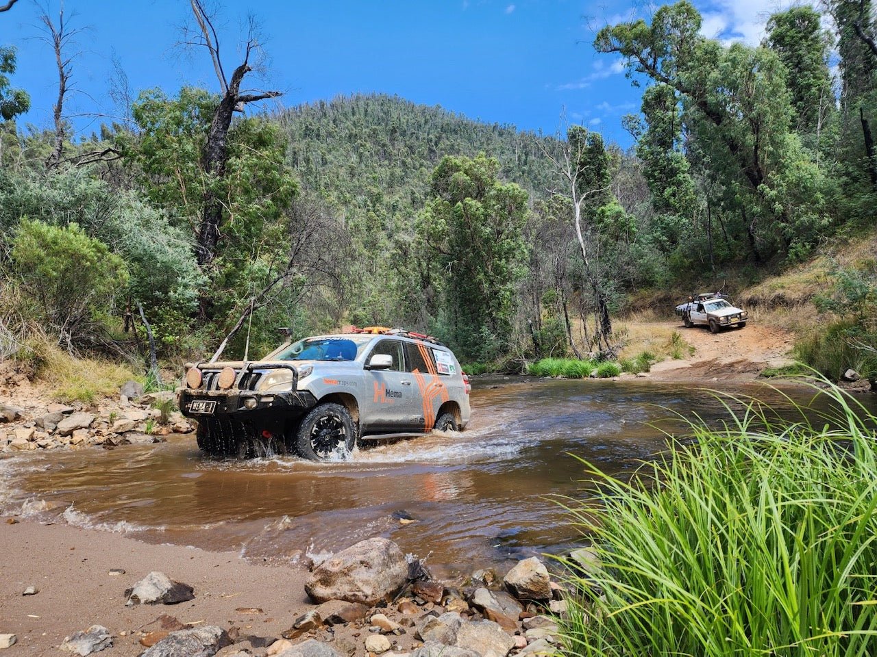
- High Country: Seasonal Closures have finished, with tracks reopening from 30/11/20.
View the live interactive Road Conditions Map HERE
Tasmania
Border Update -
Interstate Restrictions |
Travellers who have only spent time in a low-risk area in the 14 days before arriving in Tasmania do not need to quarantine when they arrive, (excluding the high-risk areas). |
No Internal Travel Restrictions |
No restrictions on internal state travel. |
For more information refer to: https://coronavirus.tas.gov.au/travellers-and-visitors/coming-to-tasmania
La Niña -
More rainfall during spring and summer, wetter soils and an increased chance of flash floods. Reduced bushfire risk with reduced extreme heat waves.
Regional Update -
- A high over the Tasman Sea will move slowly to the east through today and Thursday. A front moves across the Bight late on Thursday and approaches the west of Tasmania late on Friday. On Saturday, the front will stall over the southern parts of Tasmania before becoming a trough and persisting about the northeast of the state on Sunday.
- Upgrading the Bruny Island Ferry Terminals. Construction of a second ferry berth to take place Sep 20 - Mar 21.
View the live interactive Road Conditions Map HERE
New South Wales/ ACT
Border Update -
No Interstate Restrictions |
Travelers from other Australian States and Territories, who have not been overseas, may enter without applying for a permit. Guidelines in place for travellers from interstate hotspots. |
No Internal Travel Restrictions |
There is currently no limit on the distance that a person may travel, however NSW Health recommends non-essential domestic travel should be avoided. |
For more information refer to: https://www.nsw.gov.au/covid-19/what-you-can-and-cant-do-under-rules/border-restrictions
La Niña -
More rainfall during spring and summer, wetter soils and an increased chance of flash floods. Reduced bushfire risk with reduced extreme heat waves. More rainfall expected in most of New South Wales.
Regional Update -
- A broad trough of low pressure trough lies off the New South Wales coast while a high pressure system sits to the east of Tasmania. This pattern is directing mild and mainly dry air across inland parts, and showers along the coast. Showery conditions are likely to persist throughout the week in the east, as the high pressure system slowly drifts eastwards across the southern Tasman Sea, maintaining an onshore flow.
- Bogan Shire: Canonba Rd is closed - Flooding (updated: 17/2/2021).
- Sturt National Park: Toona Gate Road is open with caution to 4WD's only (updated: 17/2/21).
View the live interactive Road Conditions Map HERE
Queensland
Border Update -
Interstate Restrictions |
From 1am Saturday, 13 February, anyone who enters Queensland and has been in any of 36 local government areas in Greater Melbourne since 9 February 2021, will be directed to quarantine in government-arranged accommodation for 14 days. |
No Internal Travel Restrictions |
You can travel anywhere in Queensland for any reason. There is no limit on distance. You can stay overnight anywhere in Queensland for as many nights as you like. |
For more information refer to: https://www.qld.gov.au/health/conditions/health-alerts/coronavirus-covid-19/current-status/public-health-directions/border-restrictions
La Niña -
More tropical Cyclones than normal. Prepare earlier - Rain expected a month earlier, more than 70% chance of above-average rainfall and increased flood risk.
Regional Update -
- A trough extends across Gulf of Carpentaria waters, central Cape York Peninsula and into the northern Coral Sea, and is likely to drift southwards and deepen a little over the next few days, with embedded lows developing in the Gulf of Carpentaria and the northern Coral Sea. A firm ridge lies over southern and central Queensland, with fresh onshore southeasterly flow along much of the east coast. A weak inland trough will move slowly westwards with moist air gradually returning through the inland regions.
- Cape York: Burke Developmental Road - Closed at the Lynd due to Flooding (updated: 27/01/21).
- Fraser Island:
-
- Ngkala Rocks – due to current conditions Ngkala Rocks is currently impassable and is closed until further notice (updated: 27/01/21).
- Ungowa boat ramp is closed to all vessels, vehicles and pedestrians (updated: 27/01/21).
- Most of the West coast is closed to beach driving (Updated 11/02/21).
- North of Cornwells road and south of Woralie road: Temporarily CLOSED for maintenance. Please obey all signage and do not enter closed areas.
- South West QLD : Murra Murra Road, Nebine - Road closed - Flooding.
View the live interactive Road Conditions Map HERE
For more state by state travel information head over to our Travel Information Hub.