


(Image: Brand new first edition release of the Flinders Ranges Atlas & Guide.)
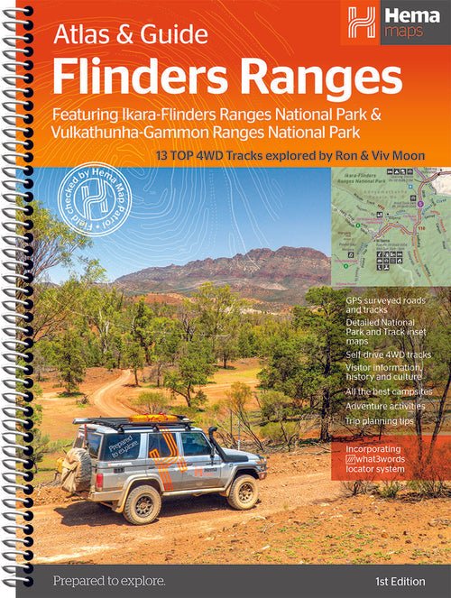
This first edition of Hema’s Flinders Ranges Atlas & Guide features Hema’s distinctive and informative maps, all of which have been field checked by Hema’s Map Patrol to ensure the best possible accuracy with the latest mapping data.
Written and researched by some of the most experienced outback travellers in Australia (including industry doyen, Ron Moon) , the guide provides extensive and up-to-date information for the whole of the Flinders Ranges, from its southernmost tip, where it brushes against the waters of the Spencer Gulf, to its northern extremity beyond Arkaroola and the rugged Gammon massif.
Extensive cultural information and stories, along with the low-down on the European exploration and development of the region will ensure that today’s travellers see the country in a new, exciting and enlightened manner.
 (Image: Detailed information, list of things to do and stunning Hema photography pg 78 - 79.)
Comprehensive details to towns, national parks and each and every station property (open to the public) for hiking, cycling, camping, accommodation and four wheel driving ensures you will have all the information you require for an enjoyable, interesting and exciting foray to these spectacular ranges.
The book includes 13 of Hema’s favourite 4WD tracks in the region that stretch from the rolling southern ranges to the much more remote and rugged northern extremities of the mountain vastness.
 (Image: Track 7: Mount Gill - Warnings and Reminders pg 164 - 165.)
Lavishly illustrated with magical photographs recorded by the Hema team, this guide will inspire and motivate travelers to visit the region, whether for the first time or for the twentieth time.
This easy to use guidebook will take the difficulty out of planning a trip to this magnificent area and there is no better time to start planning that trip than now.
 (Image: Flinders Ranges Atlas pg 194 - 195.)
Key Features -
- Detailed atlas (20 pages) covering the whole region in 1:400 000 scale
- Hema’s 13 top 4WD tracks of the region with inset maps. Fully field checked by Hema’s Map Patrol
- Walking and Cycling info and trails
- Accommodation and the best campsites
- Cultural & historical information
- When to go and how to prepare.


