


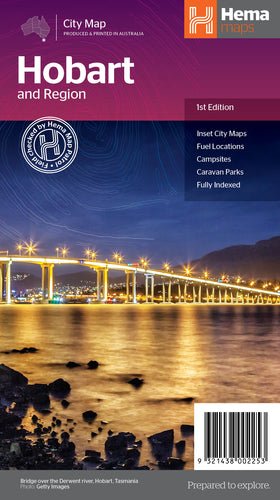
 (Image: The Hobart & Region Map (First Edition) from Hema Maps.)
This first edition of Hema’s Hobart & Region Map features Hema’s distinctive and informative maps fully, all of which have been field checked by Hema’s Map Patrol to ensure the best possible accuracy with the latest mapping data.
This map has the greater Hobart region on one side (1:35,000) in detail and a lower scale overview map of the Hobart CBD (1:14,000), Launceston city and region (1:25,000) plus a broader Greater Hobart area (1:250,000) map on the reverse side.
Hobart is Tasmania's capital city and the second oldest capital in Australia, after Sydney. Located at the entrance to the Derwent River, its well-preserved surrounding bushland reaches close to the city centre and beaches line the shores of the river and estuary beyond. Whether you are wanting to see the view from the Summit of Kunanyi / Mount Wellington, visiting Hobarts famed Salamanca Markets, planning a Port Arthur Day Trip or enjoying Hobart’s cultural delights such as the Museum of Old and New Art (Mona) this map provides an overview of the significant places to visit in Hobart and the surrounding region.
Key Features
- Fully indexed primary Map of the greater Hobart region at a scale of 1:35,000 and showing fuel locations, campsites and caravan parks
- Detailed maps of the Hobart CBD, Launceston Region and broader Greater Hobart region including major tourist attractions and accommodation
- Overview of significant places to visit in Hobart and the surrounding region.
This product is currently available at the Hema Maps online store for AUD $9.95 and can be purchased at the following link:


