


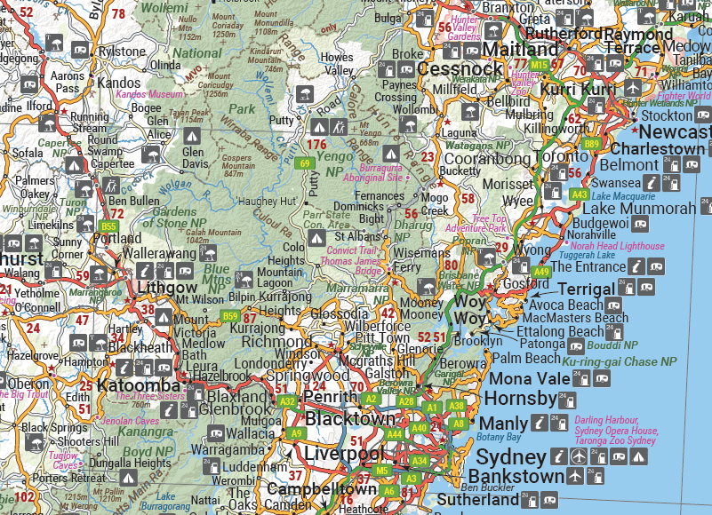
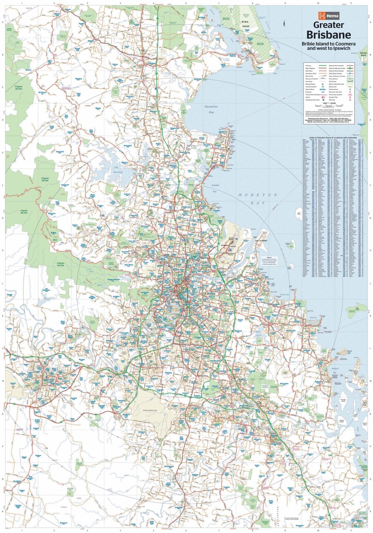
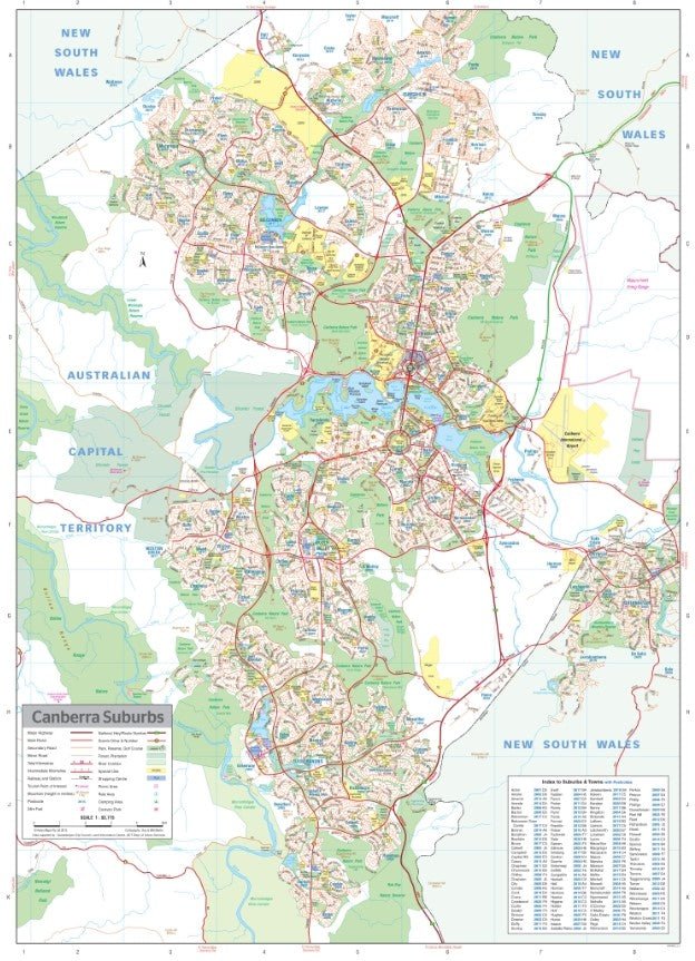
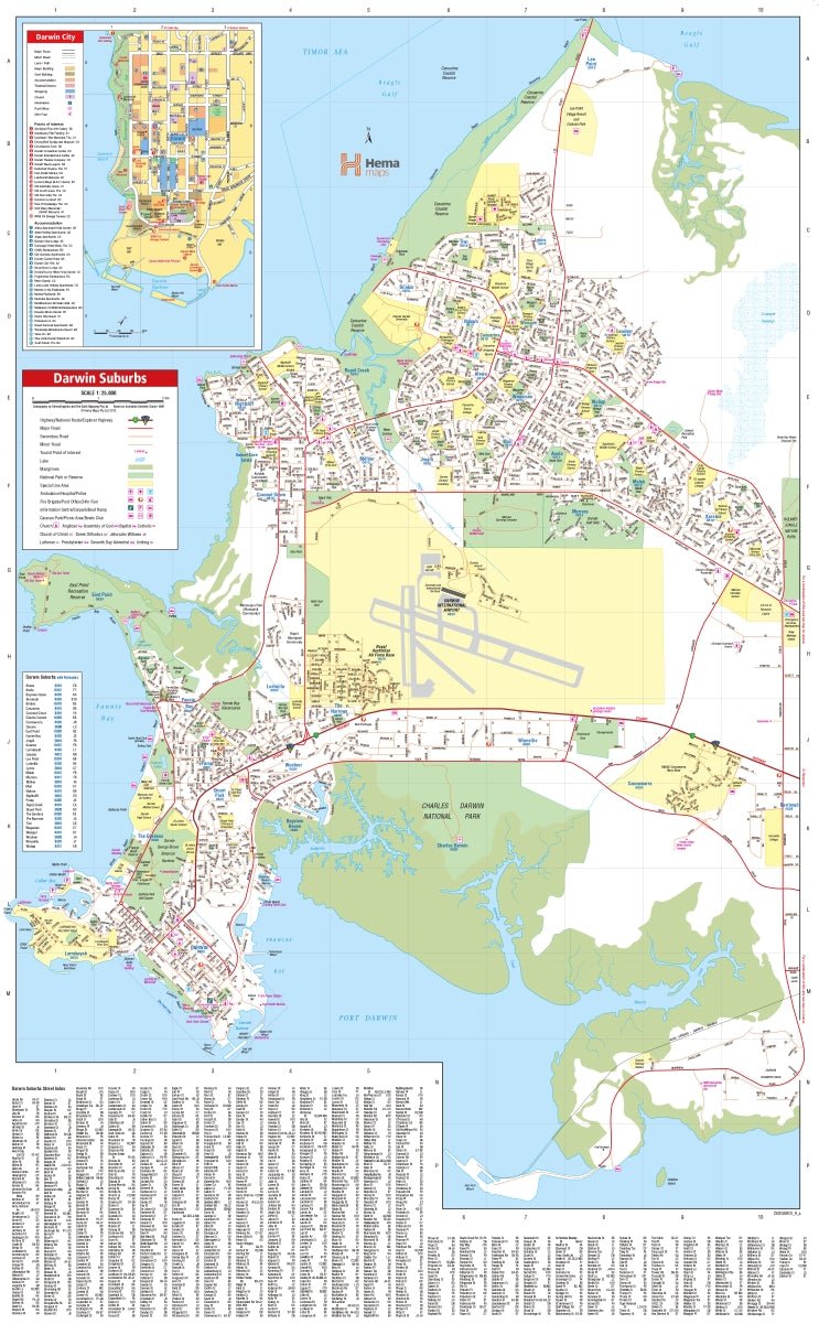
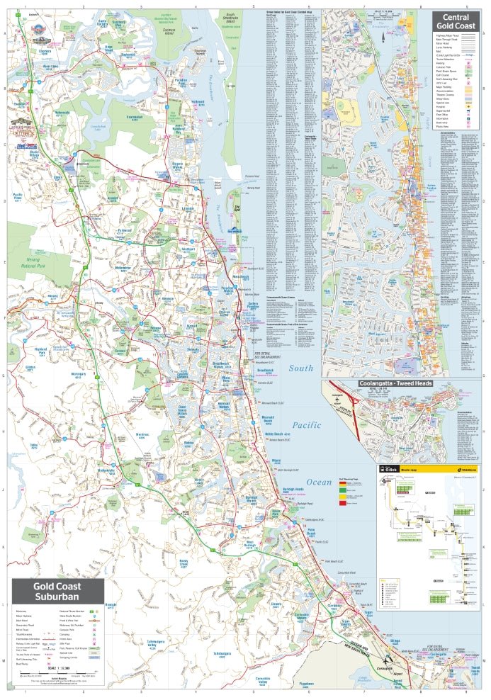
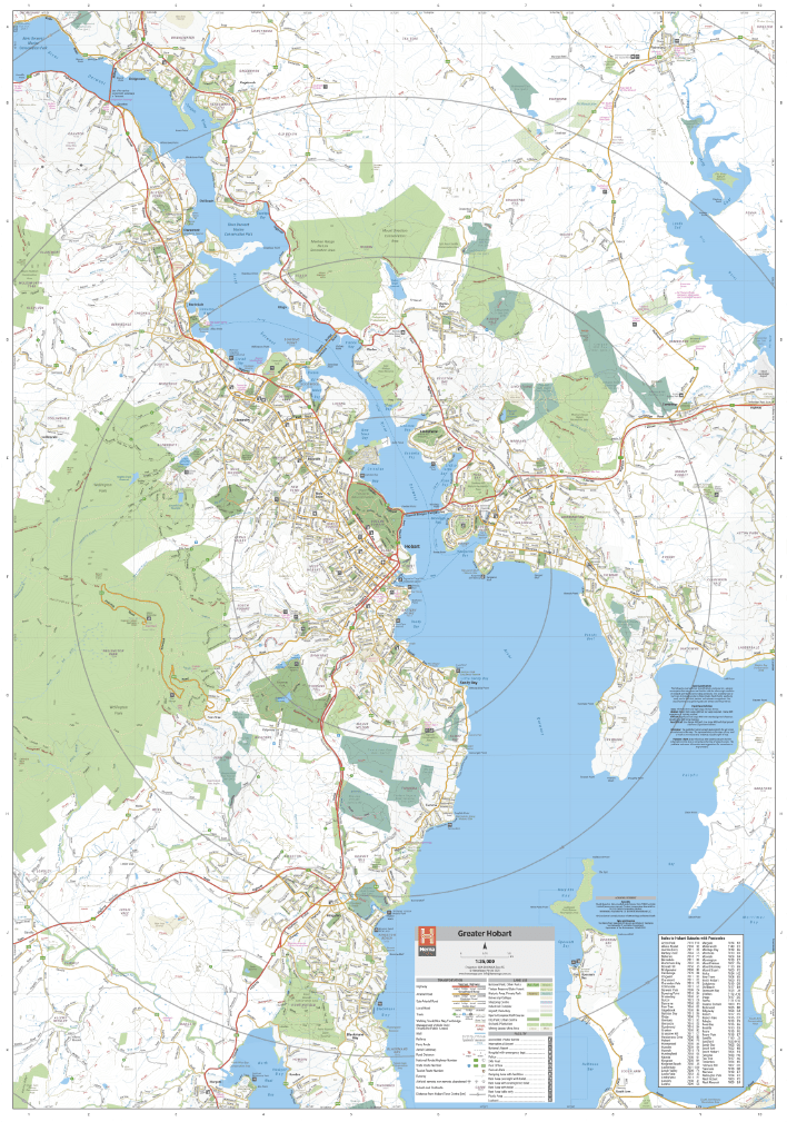
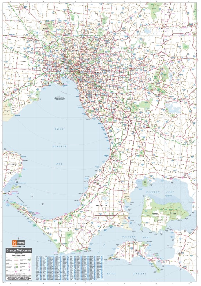
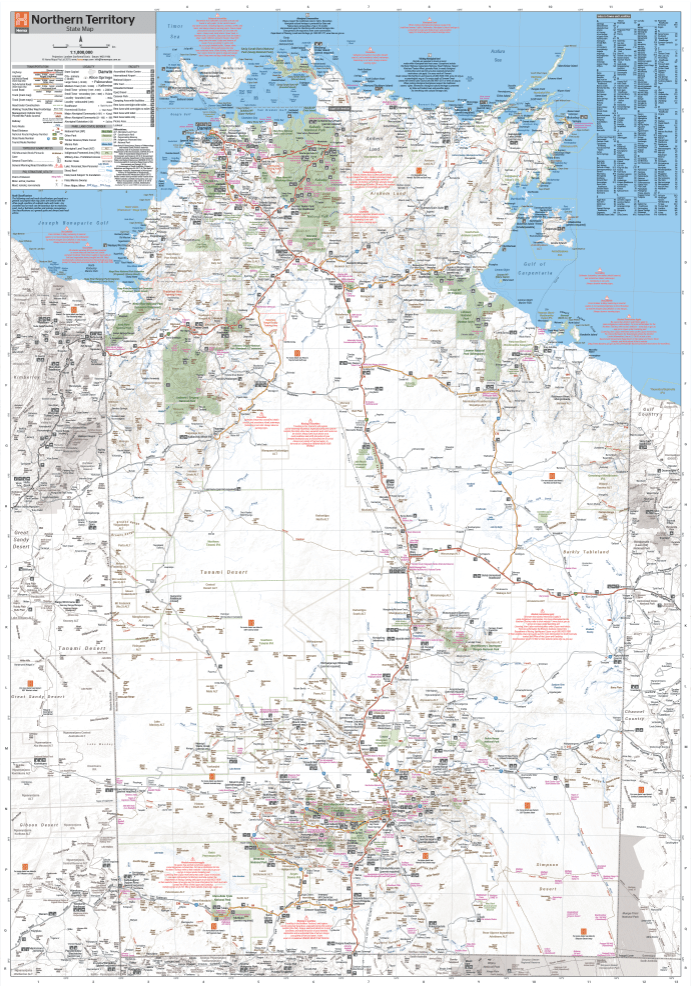
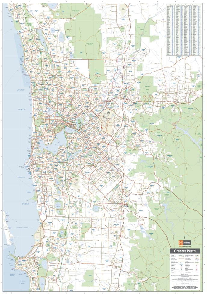
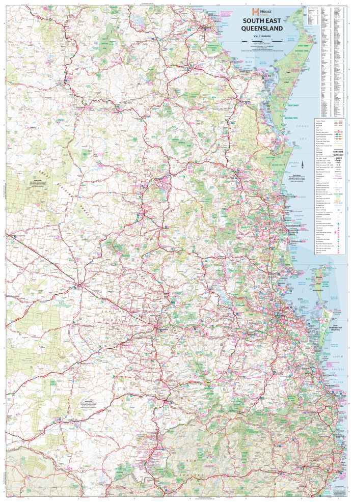
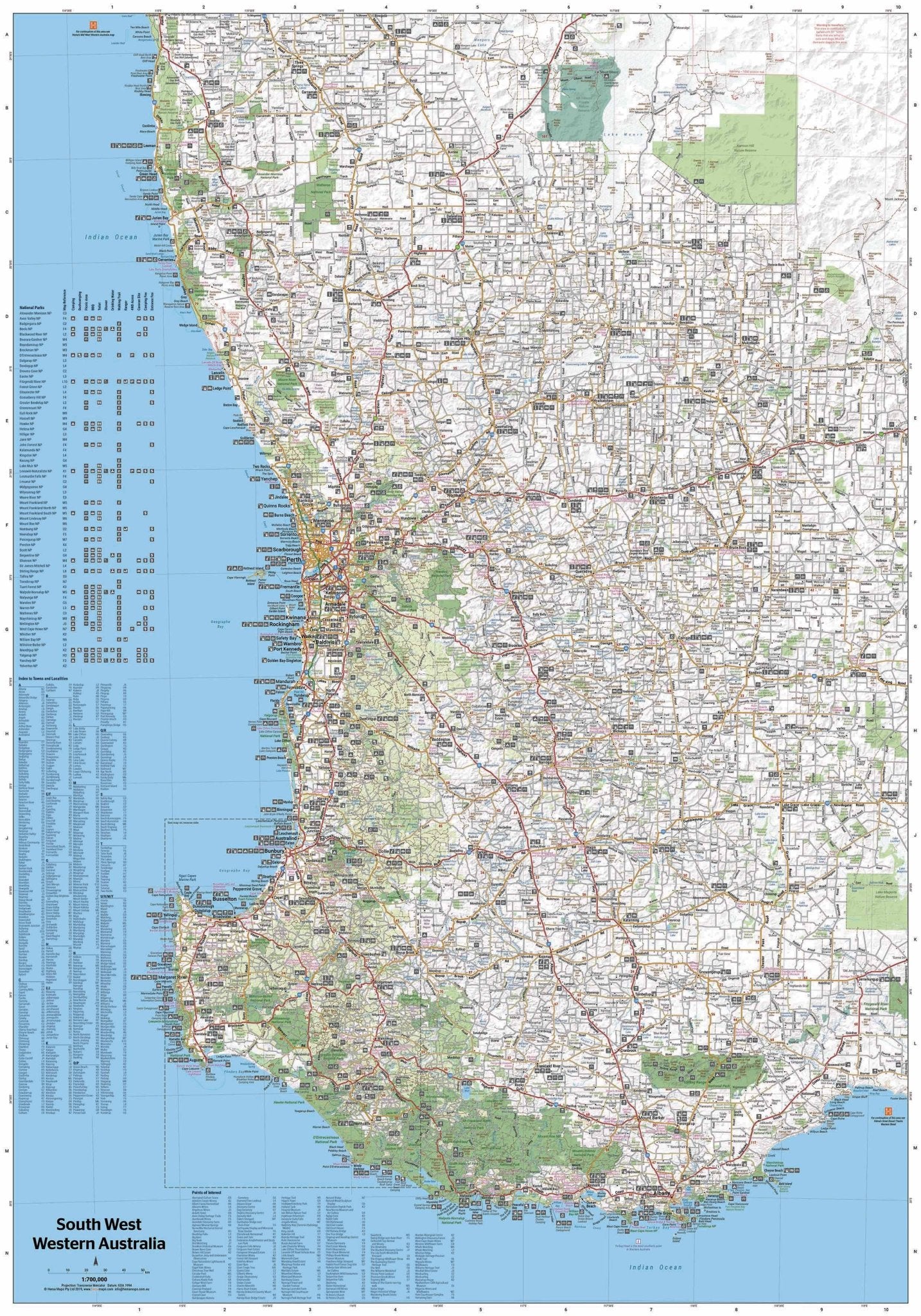
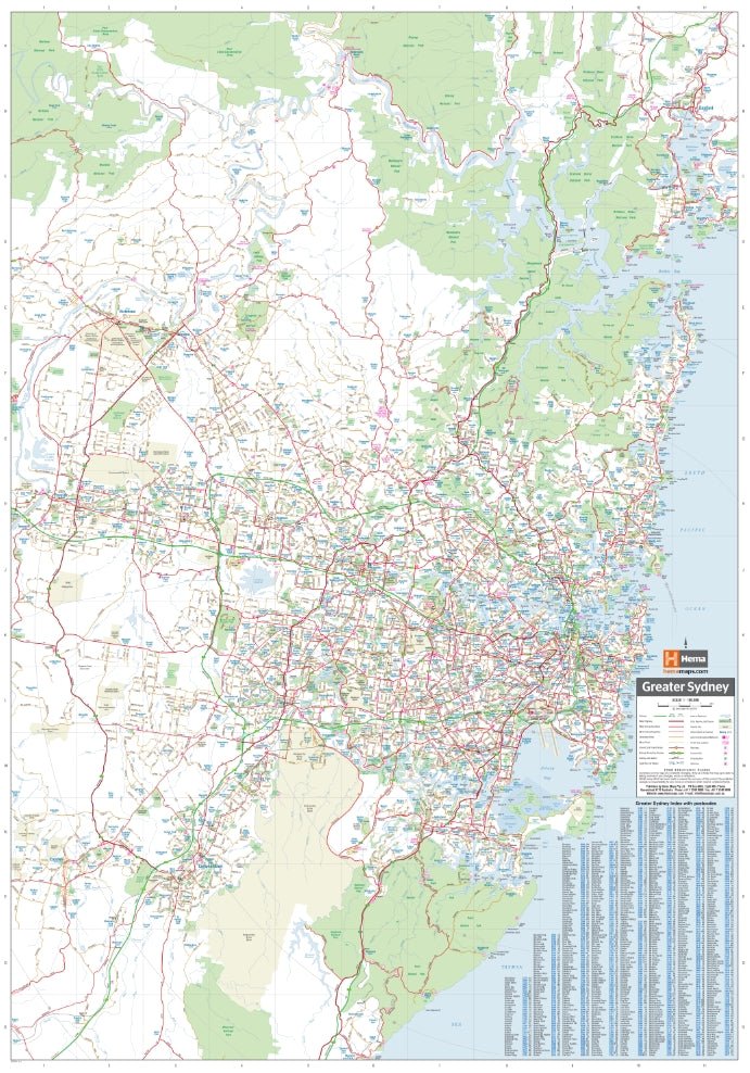
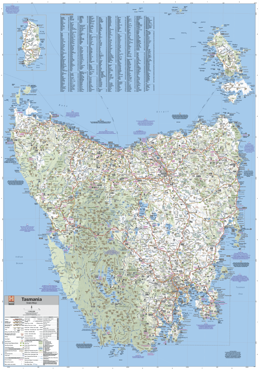
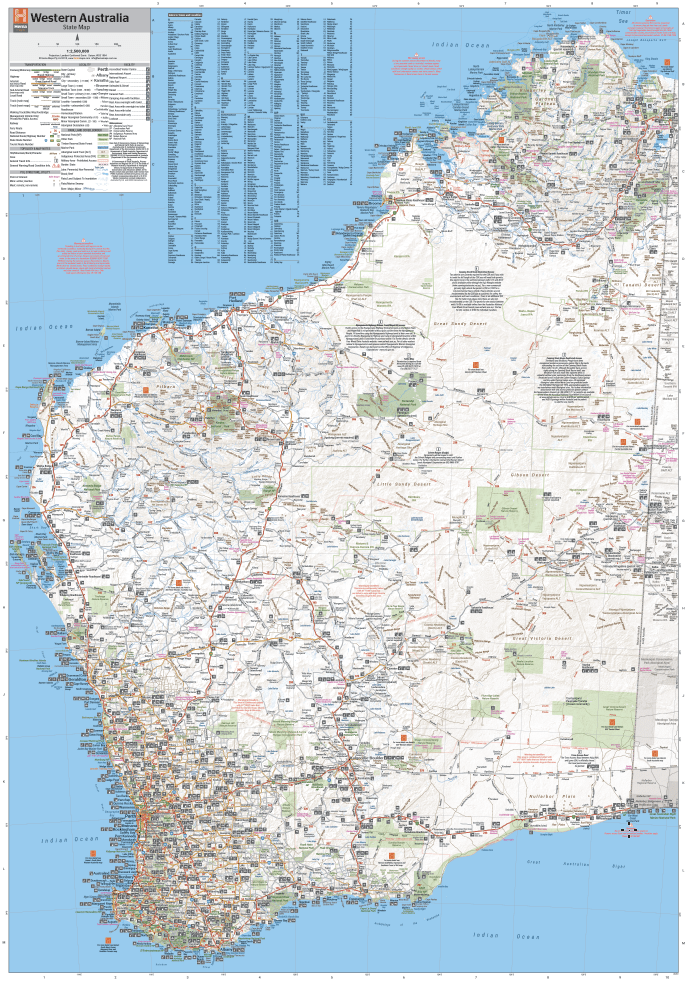
New South Wales State Wall Map
Buy it with


Price Match Guarantee
If you find one of our products cheaper with any other Australian retailer, we'll match it.
Just make a note of the price and where you have found it, and then give us a call on the following number:
Contact Hours:
Mon – Fri: 10:00am – 4:00pm
Sat – Sun: Closed
The Fine Print
We work hard to keep our prices among the best in Australia across our entire range, so we genuinely appreciate it when you let us know if another retailer has a lower price. If they do, we’ll do our best to match it.
To be eligible for a price match, the following conditions apply:
- The competitor must be an Australian retailer or website, displaying prices in Australian dollars and shipping from an Australian address.
- The product must be identical, brand new, and in stock.
- For online retailers, delivery costs will be included when comparing the total price.
Exclusions
Price matching does not apply to:
- Cashback offers or coupon-based discounts
- Commercial quantities or wholesale pricing
- Clearance or liquidation sales
- Orders that have already been completed


1x Wall Map
Let customers speak for us

City maps work really well. Looking forward to the 4wd maps on my next trip.

Great product.. i use the maps in my 4wd and have prevuouslybused hema maps on my across the desert motorbike trips.. this unit will make my next reip alot easier especially with thr handle bar scroller

Very informative and easy to follow

Perfect for our trip to Cape York

Absolutely love this map book.
Perfect just what i was expecting

Easy to read, well detailed. Durable cover.

Very pleased with everything! Thank you very much! Can't wait to go travelling in my own State!

Great guide , excellent product.

Great

Great
Great

Very happy with purchase. I have purchased maps and books before and will continue from Hema Maps

Husband is a very happy man awesome book to have

Fabulous to have these maps built into the car. I have used them for normal on road navigation amd planning off road routes. Accurate and easy to use, only addition i would add is to have a clock/time on the display as in my car the infotainment unit is where the clock is and this is not displayed when using Hema. Over all great job. Well done Hema team!