


Lake Argyle to Mitchell FallsLEFT TO RIGHT: A sealed section of the Gibb River Road; sunset at Cockburn Lookout; Bell Gorge. Monday 22nd Our adventure started at Lake Argyle, which we discovered ha...
Best beach campsites in Cape York
Discover Tropical North Queensland’s world-renowned coastline with our guide to the best beach campsites in Cape York. 4WD Pack Atlas & Guide Paper Map Hema HX-1 Navigator 1. Eddie’s Campin...
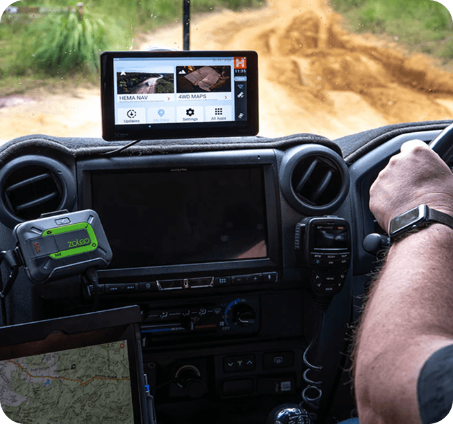
The Kimberley offers some of Australia’s best sport fishing, with barramundi high on the list of target species. 4WD Pack Hema HX-1 Navigator The Kimberley’s huge size, small population, remotenes...
Featuring some challenging four-wheel driving and the prospect of a remote beach at its end makes the trip through Cape Melville a classic Cape York sojourn. View on Hema Cloud | View Fullscreen ...
Tapering north from Broome to its remote tip is Cape Leveque, a place of red ochre pindan cliffs and white beaches linked by dusty outback tracks. 4WD Pack The Kimberley Map Hema HX-1 Navigator ...
Boodjamulla (Lawn Hill) National Park
Situated in Queensland's dusty north-west highlands is Boodjamulla (Lawn Hill) National Park, a lush oasis that boasts a range of scenic highlights and opportunities for off-road exploration.What t...
North of Broome in Western Australia is the northernmost tip of the Dampier Peninsula: Cape Leveque. Our Map Patrol delved into this stunning region on their latest Kimberley expedition, and captur...
Stay Informed. Travel Prepared.