


 North of Broome in Western Australia is the northernmost tip of the Dampier Peninsula: Cape Leveque. Our Map Patrol delved into this stunning region on their latest Kimberley expedition, and captured some photos that show why Cape Leveque is known as the place 'where the desert meets the sea'.

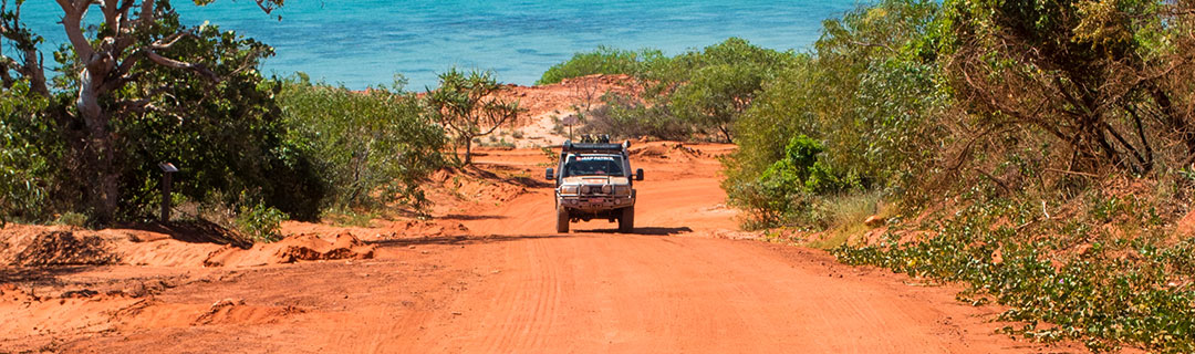
 Enjoying a balmy afternoon on the flat expanses of Cable Beach | Watching the passing parade as the sun dips over the horizon | Glorious red dirt tracks meld right into the horizon on the Broome Cape Leveque Road (and 'road' is used loosely).
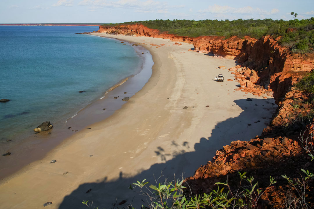
 Everything you could want in a beach in one view on one of the northern beaches near Coulomb Point: azure ocean, white sand, and even a slice of outback along the coastline.
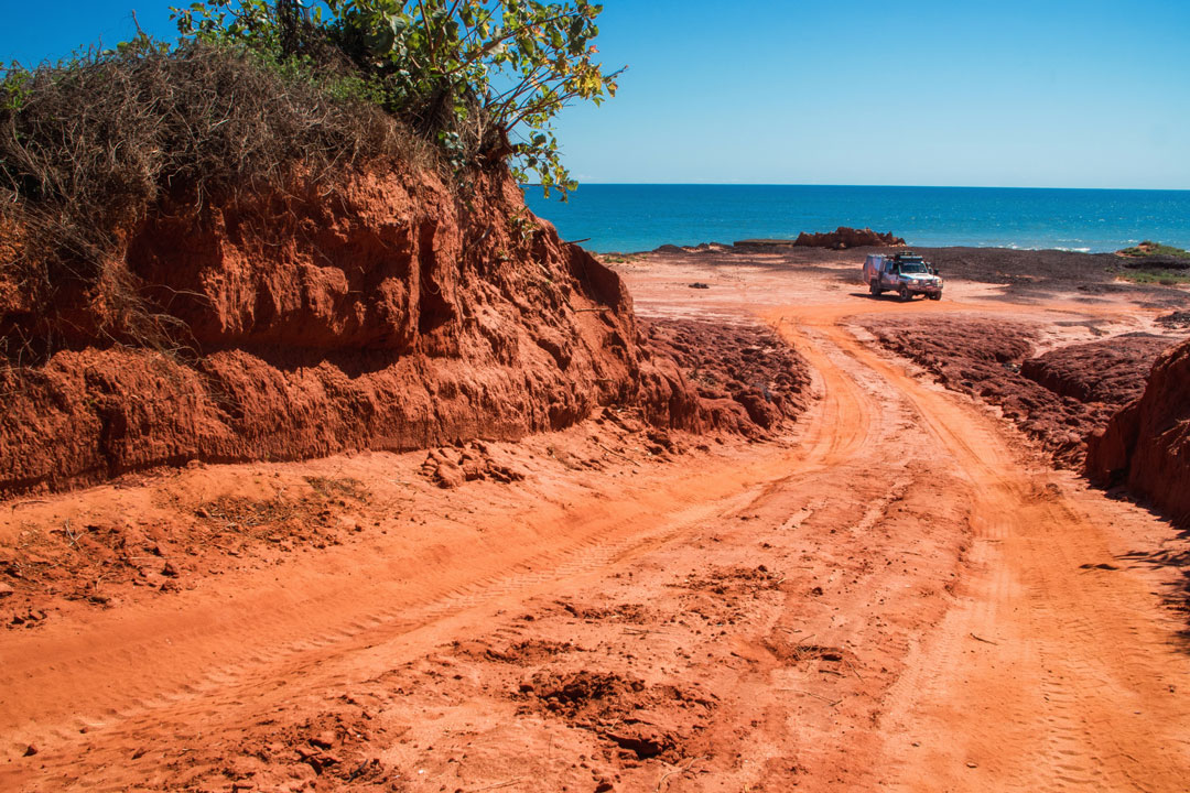 James Price Point sums up so much of what Cape Leveque seamlessly combines, with jagged pindan cliffs abruptly ending to give way to the seemingly endless Indian Ocean.
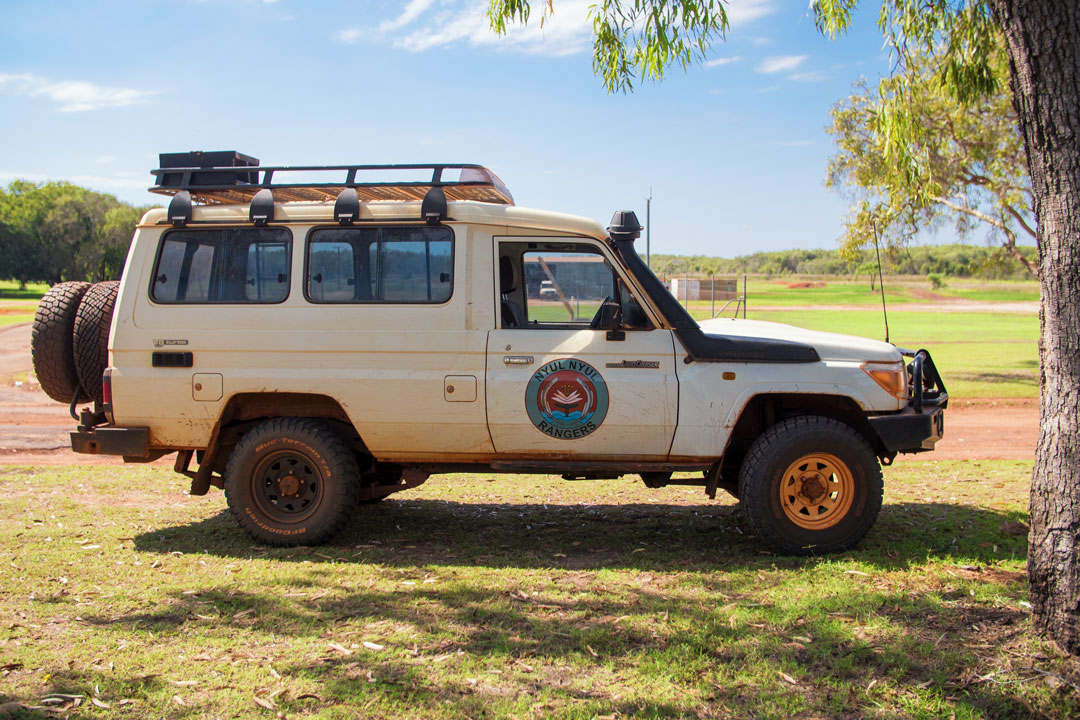 The local Aboriginal ranger groups in the Dampier Peninsula, including the Nyul Nyul (nool-nool) Rangers, have deep knowledge of the country and were immensely helpful in showing us the local tracks around Cape Leveque.
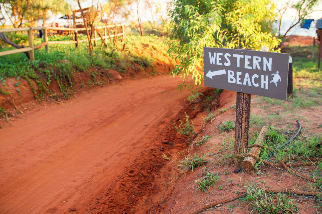
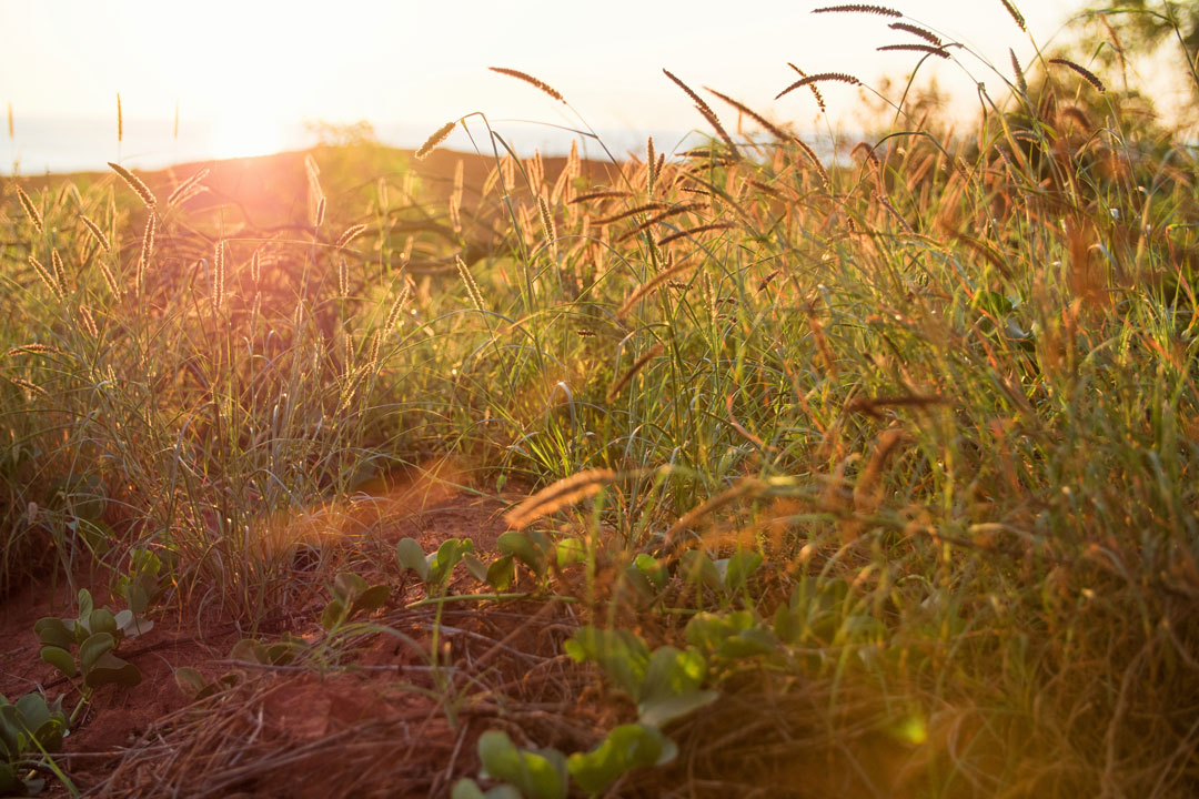
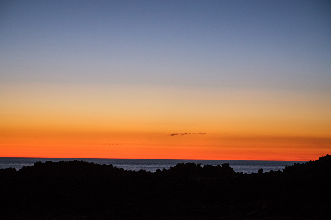 As soon as we reached Kooljaman at the northwest tip of Cape Leveque, we headed straight to the closest beach | The setting sun turns everything to gold, even the grass alongside the track to the western beach | Kooljaman's iconic cliffs stand sentry as the sun blows out the horizon in a final blaze of colour
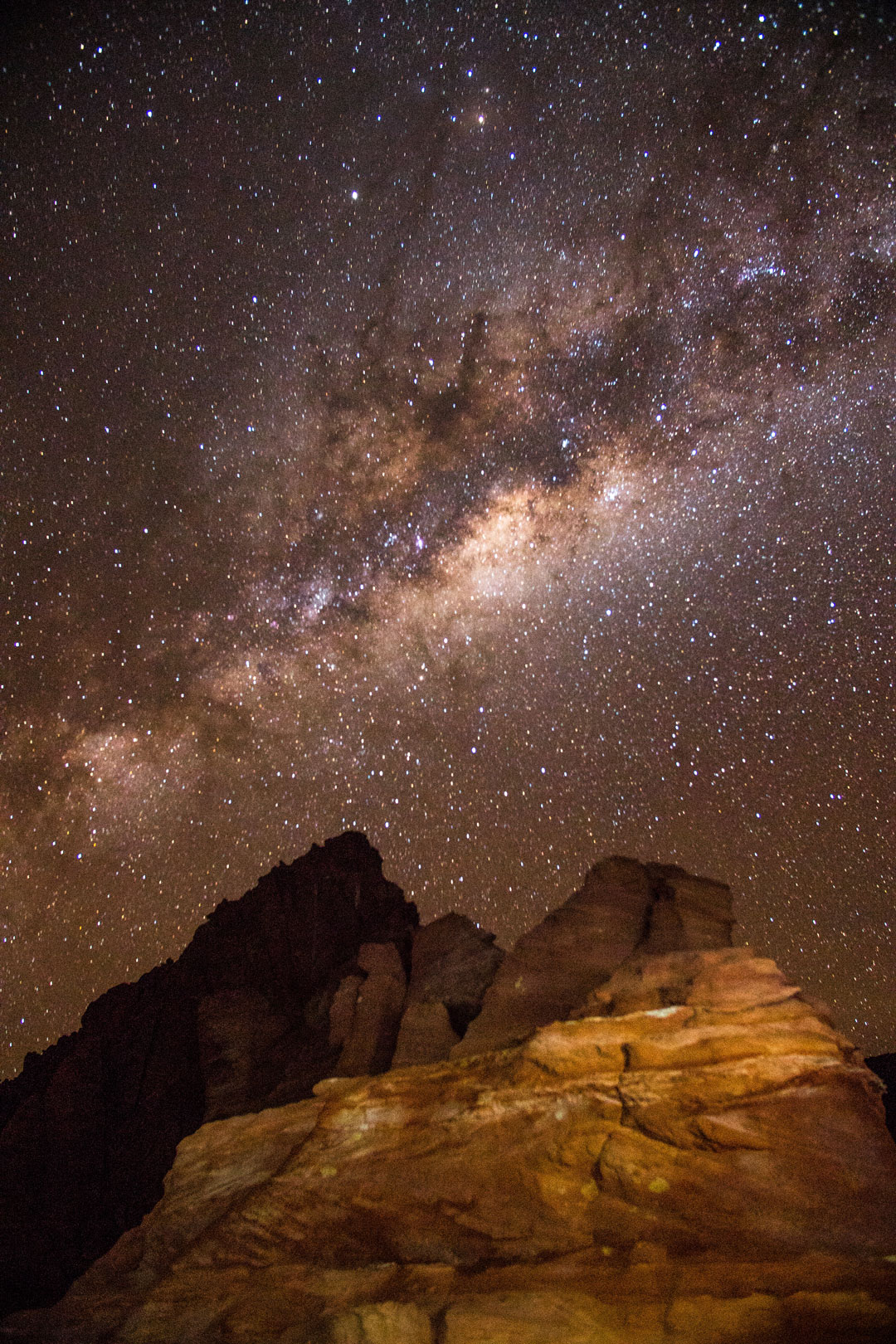 The Milky Way pivoted overhead in a bright arc on the one night we spent at Kooljaman - a sight we marvel at whether there's a camera present or not.
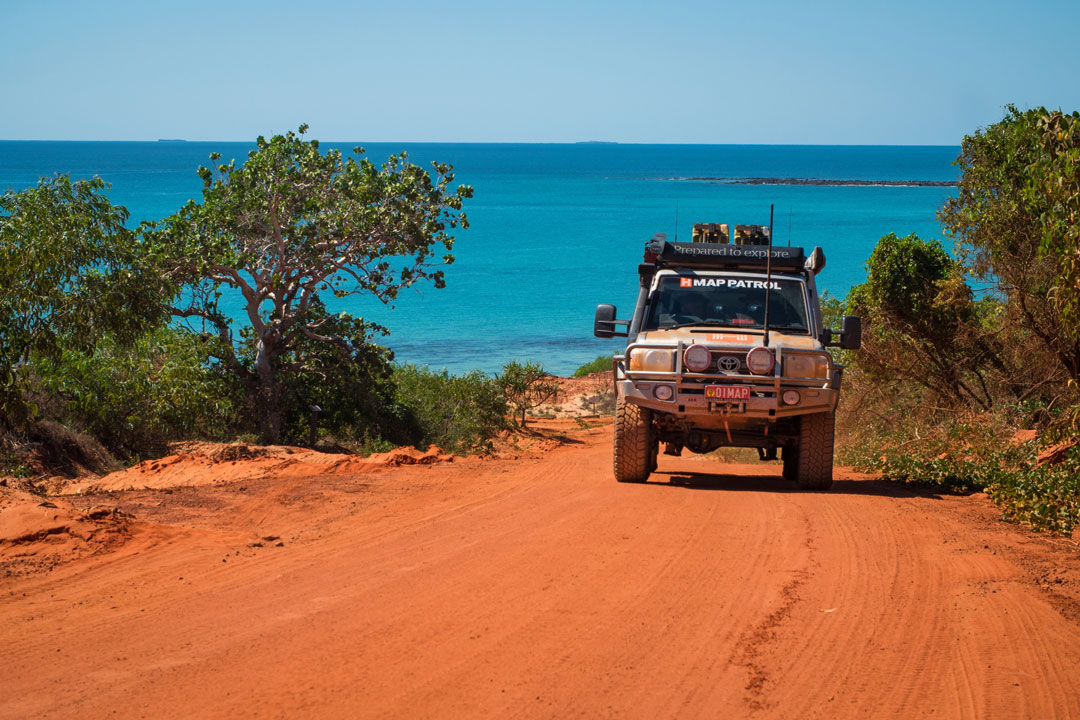 The track heading out of Kooljaman delivers the quintessential Cape Leveque scene of red, green and blue delivered in liberal doses.
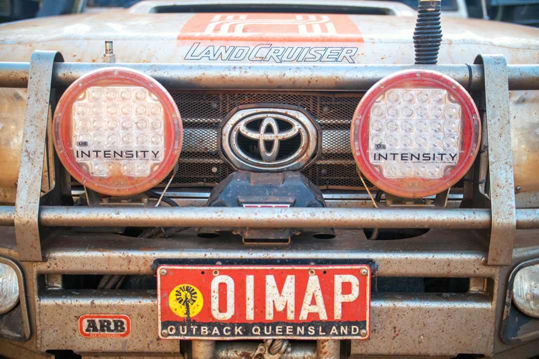
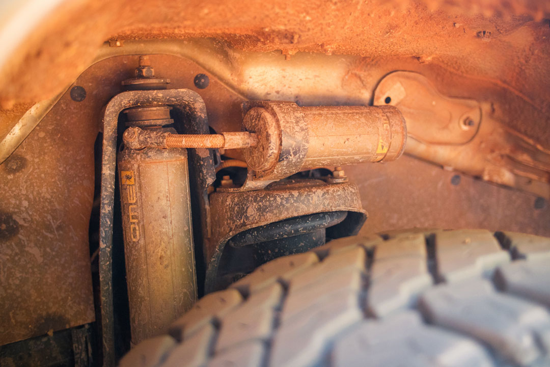
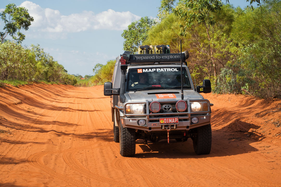
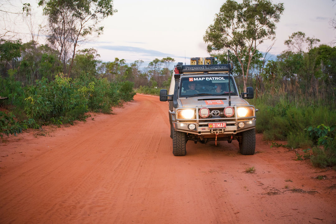
 The Map Patrol looking gloriously dirty after a week in Cape Leveque | The Landcruiser 79 Dual Cab's BP-51 shocks stood up to the challenge | Whenever you think you've seen all the amazing views, another one like this from the cliffs at Pender Bay floors you all over again.
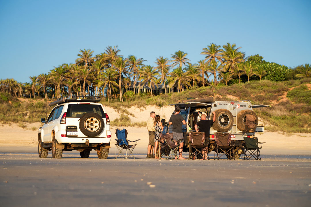
 Ending a day of mapping on the road to Gnylmarung Retreat, one of countless places the Map Patrol field checked first-hand over the course of the week.
Hema Explorer App


