


Words Chris Whitelaw
The Gary Junction Road has been described as one of the best drives in outback Australia, with incredibly beautiful desert scenery, Indigenous art and culture, and bush camping under a million stars. More picturesque than the Tanami Track, more interesting than the Great Central Road, and way easier than the Anne Beadell Highway, you’ll be hard-pressed to find a better trans-continental adventure than ‘The Gary’.
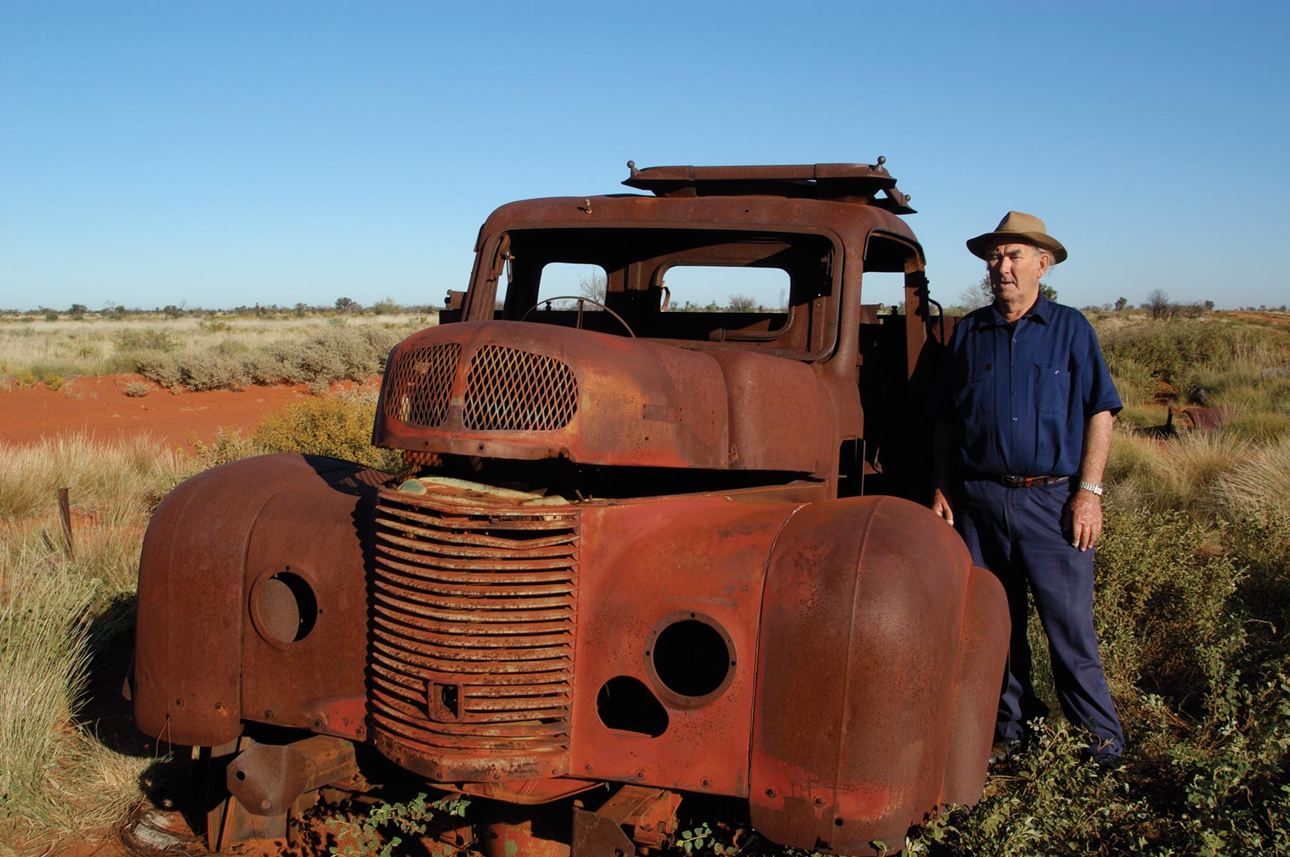
Although it follows the original track carved out by Len Beadell’s crew in the 1960s, it has been re-graded and maintained as a wide, relatively smooth highway across the Great Sandy Desert, providing an essential link between Alice Springs, NT, and Marble Bar, WA, sustaining several remote Aboriginal communities along the way.
The Great Sandy Desert
At 284,993sq km, the Great Sandy is the second largest desert in Australia. It straddles a vast region bounded by the Pilbara and Kimberley in the north-west, the Gibson Desert to the south and the Tanami Desert to the east. The landscape is a flat sedimentary basin covered by sand plains and dunes of a deep coral pink, shaped by the prevailing westerlies into rows of parallel ridges up to 100km long.

Gary Junction Rd east to Papunya
The dunes are made of sand that has been scoured by the elements from adjacent mountains over the past 2.5 million years. The rivers that once carried the sand to the plains ceased to flow long ago, leaving sinuous courses that are barely discernible in the arid terrain. These natural forces have left a legacy of flat-topped mesas and low hills interspersed with chains of salt lakes. Some prominent landmarks, like Haasts Bluff and Mt Liebig, bear spectacular testimony to these ancient origins.
The Great Sandy is a true desert, with summer temperatures reaching into the 40s, tempered in the north by a milder tropical influence, and average yearly rainfall of about 250mm, delivered mainly during the summer monsoons. The drier, cooler winter months are the best time to travel here.
For such an arid environment, the Great Sandy supports amazingly diverse and colourful vegetation. Spinifex dominates, with its low crown of spiky green ‘leaves’ surmounted by wispy, wheat-like stalks that wave and shimmer in the glaring sunlight. Desert oaks, cypress pines and bloodwoods dot the landscape, interspersed with groves of acacias, holly grevilleas and mallee, and grey-green shrubs sporting flowers of red or yellow.
This botanic garden is inhabited by 37 species of mammals, 70 reptiles and 178 kinds of birds. They are all uniquely adapted to this challenging environment, but their precarious existence is threatened by feral cats and foxes, and camels that consume the vegetation and foul scarce waterholes.

The Indigenous landscape
The Gary Junction Road traverses the traditional lands of several major Aboriginal groups. Alice Springs (Mparntwe) lies in Arrernte Country which includes the MacDonnell Ranges. Beyond the ranges, the Great Sandy Desert forms part of the Western Desert cultural area, occupied in the east by the Pintupi and Luritja Aboriginal people and in the west by the Martu.
These people lived as nomadic hunters and gatherers until their traditional lifestyle was disrupted by the incursion of European pastoralists who commandeered the limited water supplies for their cattle. The Pintupi and Luritja people were forced off their country in the 1930s and moved to government ration depots at Hermannsburg (Ntaria) and Haasts Bluff.
In the 1950s, the Australian Government built a bore and some basic housing at Papunya (Warumpi) to accommodate the increasing populations on the Indigenous reserves. The Papunya settlement was later expanded by the addition of people removed from their lands during the atomic tests at Maralinga (SA) and the Blue Streak missile tests out of Woomera.
By the early 1970s, Papunya had grown to more than 1800 inhabitants, comprising disparate language groups including Pintupi, Warlpiri, Arrernte, Anmatyerre and Luritja.
A combination of poor living conditions, health problems and tribal tensions led some people to move to Alice Springs, while many Pintupi returned to their traditional country to the west. This ‘Outstation Movement’ in the early 1980s saw the establishment of settlements at Mt Liebig (Watiyawanu), Kintore (Walungurru), Kiwirrkura and Jupiter Well (Puntutjarrpa).
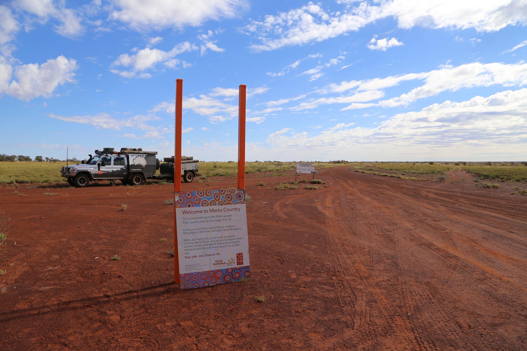
In the far western reaches of the Great Sandy Desert, the Martu Aboriginal people live in communities at Punmu, Kunawaritji, and Parnngurr, while pursuing a traditional lifestyle in the surrounding regions. In 2002, they were granted native title to much of their country in what was geographically the largest claim in Australia to that time.
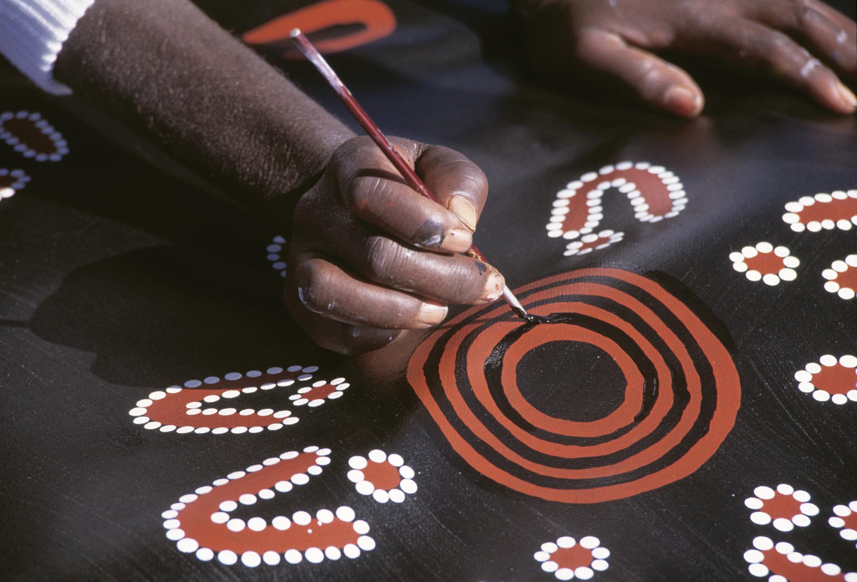
Some communities are home to Indigenous art collectives, whose work is internationally recognised, among them Ikuntji Artists Cooperative (Haasts Bluff), Papunya Tula and Martu Artworks (Punmu).
Transit permit
Because some roads pass through Aboriginal Protected Areas in the Northern Territory, even day trippers need a permit, and they are available from the Northern Land Council. For the road west of the NT/WA border, you pass through the Ngaanyatjarra Land Council, and more stringent permit conditions apply. Three-day transit permits are issued automatically online, but longer travel needs special consideration, which can take weeks. The permit allows travel up to 30m from the main road and allows you to carry alcohol, but if you are caught drinking or distributing, the fine is $5000.
The route
The GJR begins at the Narwietooma turn-off on the Tanami Road to Gary Junction, a distance of about 830km. From Gary Junction, the Jenkins Track runs a further 70km to Kunawarritji, near Well 33 on the Canning Stock Route. After Kunawarritji, the route continues as the Wapet Road and Telfer Mine Road through Punmu and the mine, then Rippon Hills Road to Marble Bar — all up nearly 1500km.
The journey is rated easy to moderate, suitable for high clearance vehicles and offroad-capable.
Essential Navigation
Next steps
At Hema Maps, we strive to provide the most comprehensive and accurate maps and guides for outdoor enthusiasts looking to explore Australia's natural wonders.
Did you find this information useful? If so, please share it with your fellow explorers. Whether it's by sms, social media, or email, your friends and fellow adventurers will appreciate the valuable tips and insights we've shared.


