Driving the Strzelecki Track
An outback drive blazed by famous cattle thief Harry Readford in 1870, the Strzelecki Track is today one of Australia's most iconic 4WD tracks.
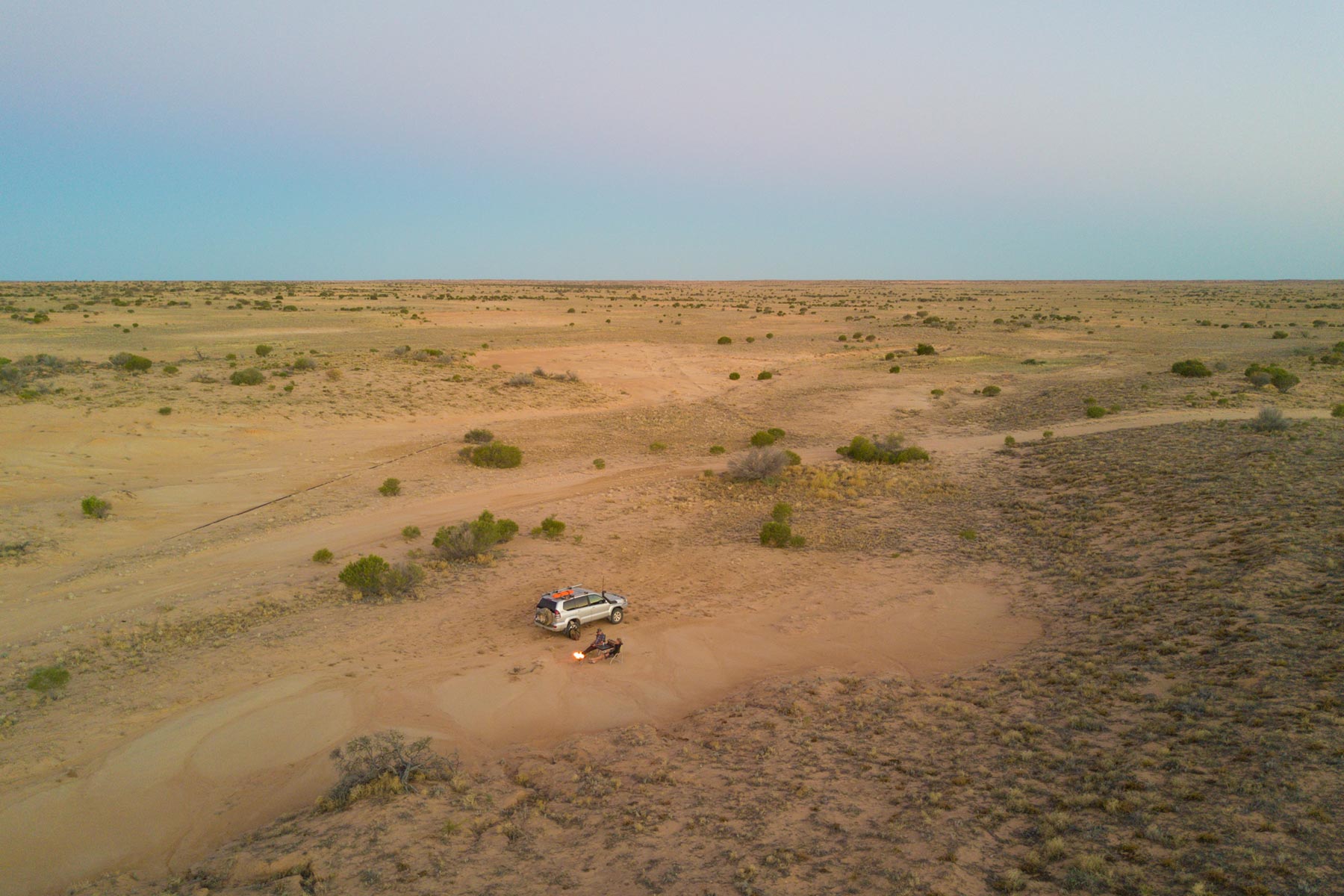
Essential information
Grading: High ground clearance required
Time: Two days minimum
Distance: 475km, Lyndhurst to Innamincka
Longest drive without fuel: 475km, Lyndhurst to Innamincka
Facilities: Lyndhurst, Innamincka
Best time of year: April to October
Warnings: Light truck tyres are recommended for this route. Remote area with no reliable water and no supplies along the track.
Permits and fees: None apply but entry to Innamincka Regional Reserve requires a day/camping permit or a Desert Parks Pass
Camping:
- Lyndhurst Hotel Motel
- Montecollina Bore
Important contacts:
- Leigh Creek Police Ph (08) 8675 2004
- SA Road conditions Ph 1300 361 033
- Desert Parks Hot Line, Port Augusta Ph 1800 816 078
- Lyndhurst Ph (08) 8675 7782
- Innamincka Ph (08) 8675 9909
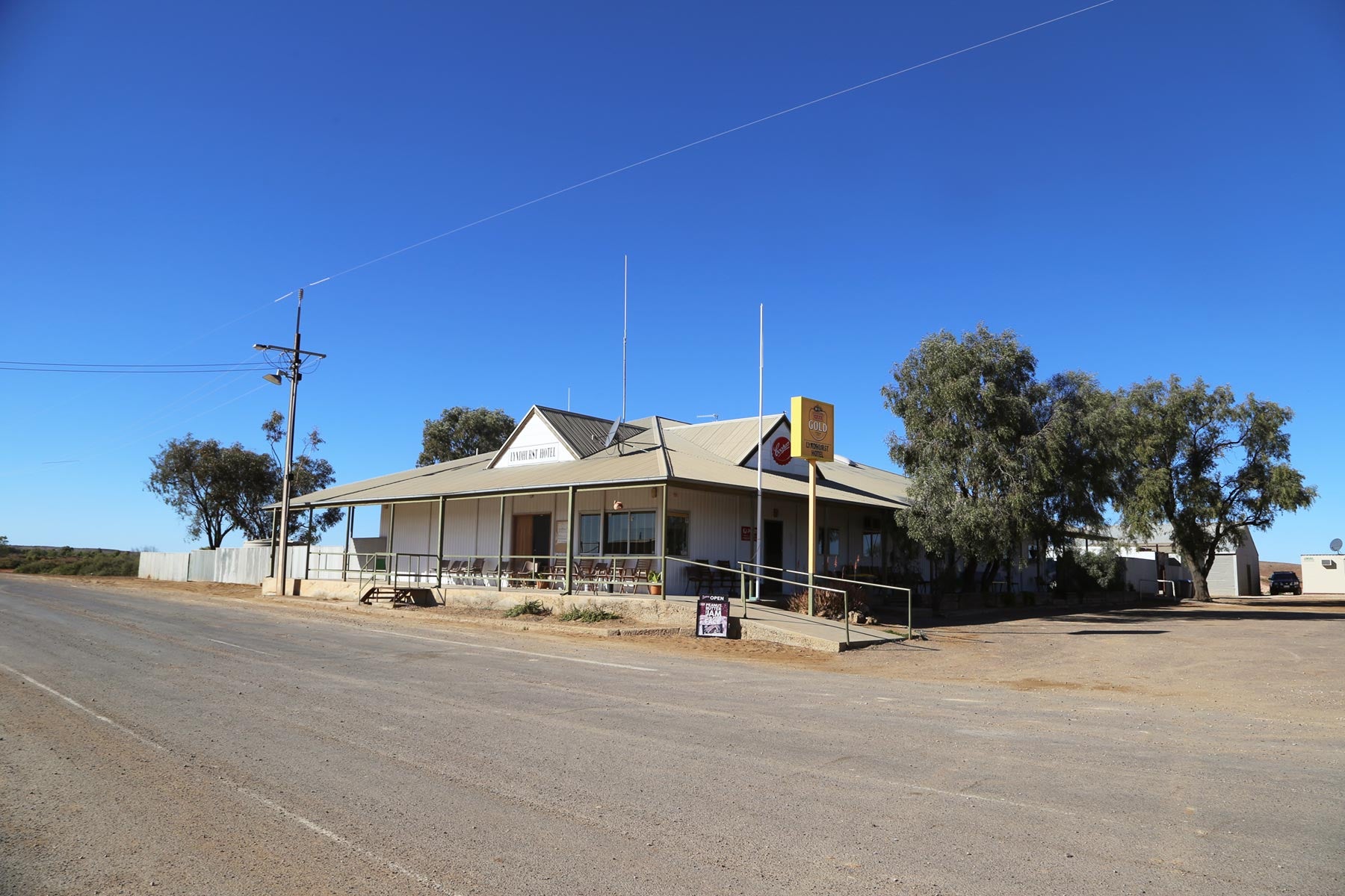
Lyndhurst Hotel
The Strzelecki Track is perhaps best known for the fact that it was created by an infamous cattle thief named Harry Readford (spelt Redford in Queensland), who blazed the trail out of necessity, attempting to move 1000 head of cattle from South Australia to Queensland.
In 1872, he was found not guilty by a jury that was so astounded by his accomplishment that they couldn’t convict him for the crime. These days, the journey can be completed in a 4WD vehicle without a high degree of driving skill.
What to expect
The Strzelecki Track runs for 475km from Innamincka to Lyndhurst, with a shorter route of 458km allowing travellers to get from Moomba to Innamincka. It is advised that travellers take this route mainly in the dry season, as the single lane track can become somewhat treacherous during the rains.
It is important that visitors venture out onto the Strzelecki Track fully prepared, with food, fuel and water, since the track requires self-sufficiency. There is a fuelling station located on the track, but unfortunately it is situated at the end.
The Flinders Ranges
Journeying along the track, travellers will find that they pass through the Flinders Ranges right at the start. This is the biggest range in South Australia and begins about 200km north of Adelaide. The Wilpena Pound is perhaps the most characteristic aspect of the range and it is this natural amphitheatre that boasts the highest peak on the range, St Mary Peak. Once the northern tip of the ranges has come to an end, the landscape becomes flat and very easy to traverse, with dunes offering 4WD enthusiasts the chance to let loose.
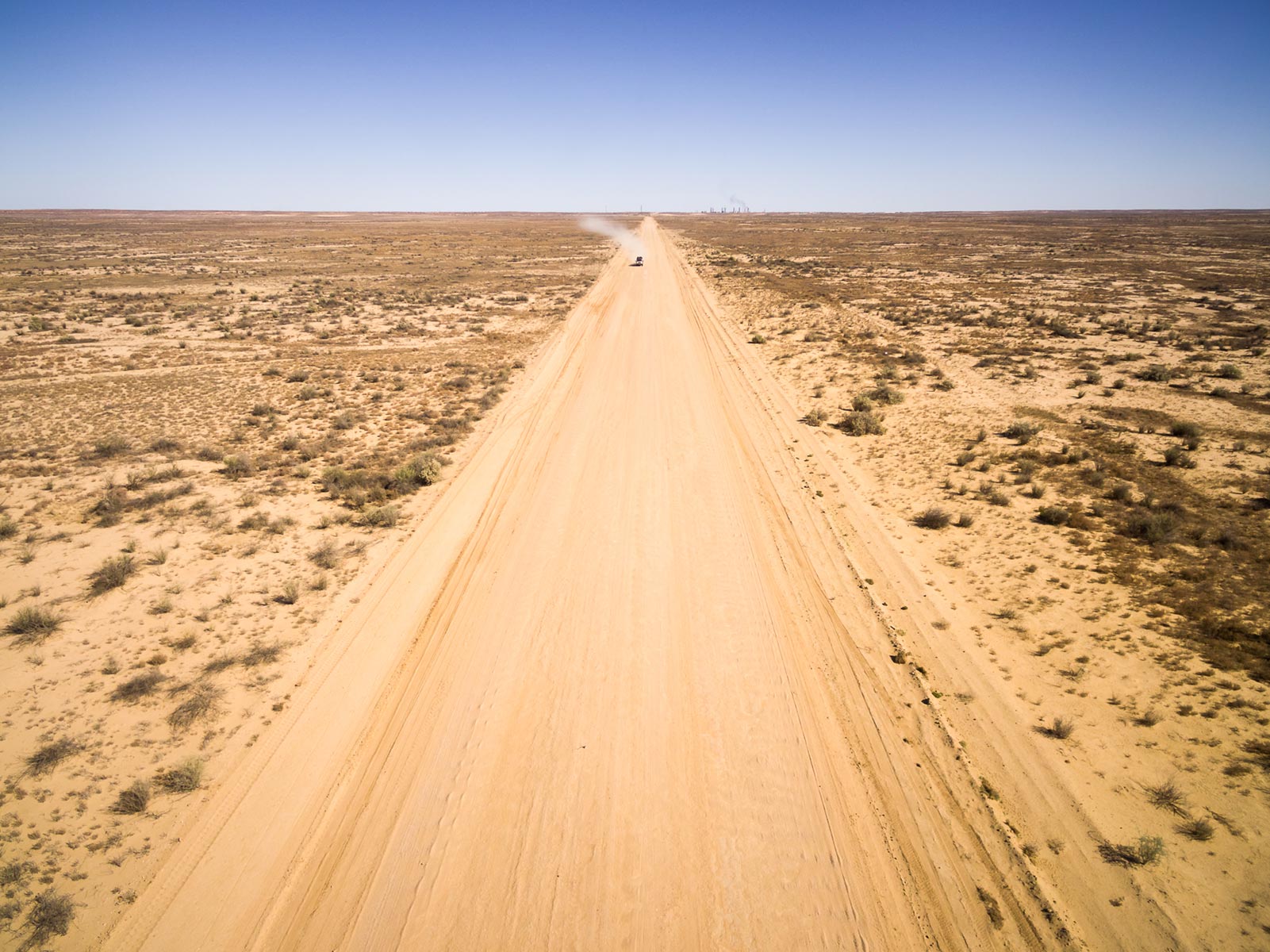
Mount Hopeless
Mount Hopeless, otherwise known as Maiurru Mitha Vambata, makes up part of the Flinders Ranges and it reaches a less-than-impressive 127m high. It was Edward Eyre who named the hill after becoming disillusioned with his attempt to reach the centre of the continent of Australia.
Montecollina Bore Camping Site
The Montecollina Bore camping area is a rest stop for those who have already made it halfway along the Strzelecki Track. It should be noted that the camping site is only accessible during the dry season and it is on private property.
The site offers vehicle based camping and it is free of charge. It should be noted that there is no fuelling station available at this point. It is also worth noting that no animals are permitted at this camp site.
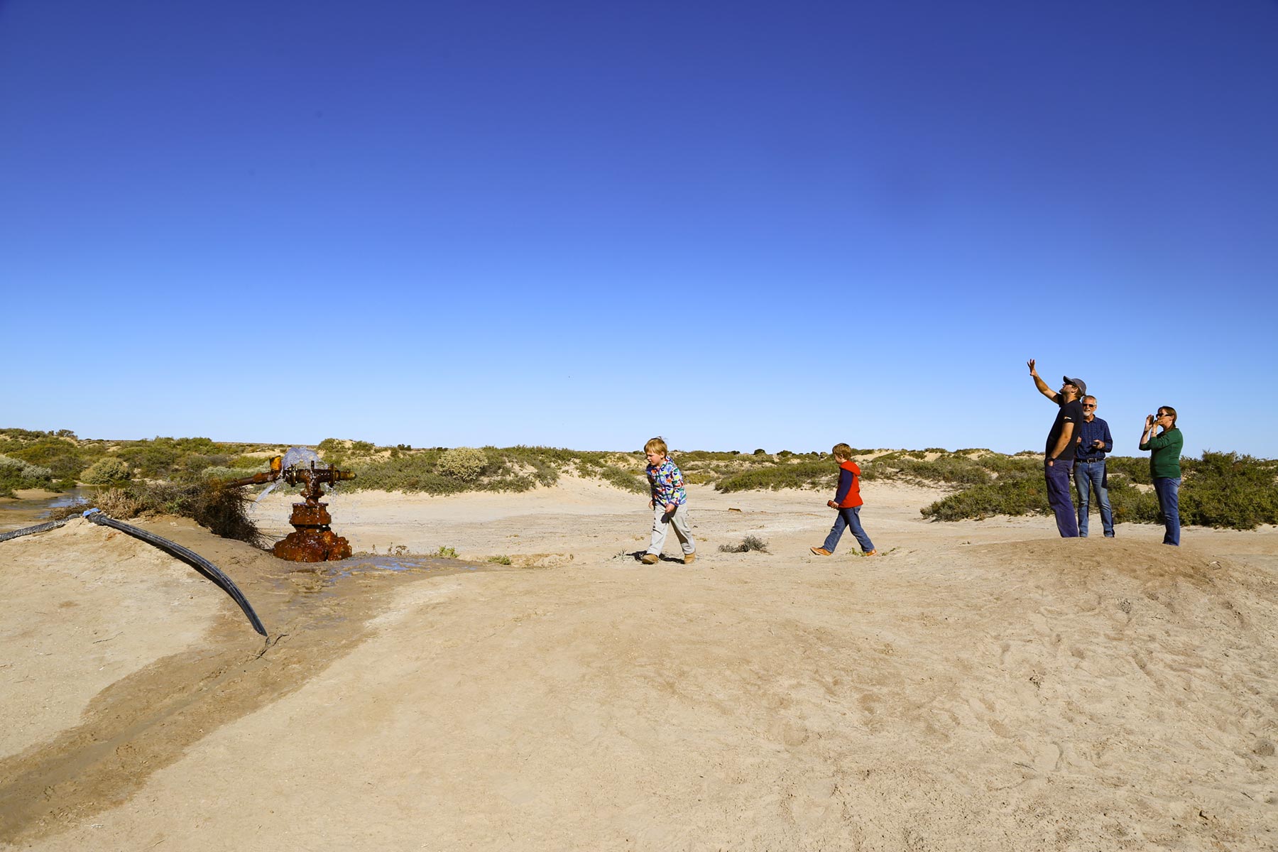
At Montecollina Bore
The Innamincka Regional Reserve
The Innamincka Regional Reserve is located 1,046km from Adelaide and it can be accessed via the Strzelecki Track by taking Leigh Creek. It is generally a good idea for visitors to read the Desert Parks Bulletin before paying a visit to the park because this resource will provide them with up-to-date information about access, as well as road conditions.
The reserve is set on 13,541 sq km of land and offers visitors everything from wetlands to arid outback conditions. From this location, visitors will the chance to experience some of the history of this area of Australia in the flesh by exploring the sites where famous explorers Burke and Wills died. The area also offers great fishing spots in the shade of the gums, as well as boating and canoeing opportunities.
The Strzelecki Track is an exciting destination for the well prepared, with the chance to experience historic landmarks along the way. The track will give visitors variety in scenery, but it isn’t as testing on the driver’s abilities as many other Australian tracks, making it one for a wider mixture of 4WD enthusiasts looking for a memorable escape.
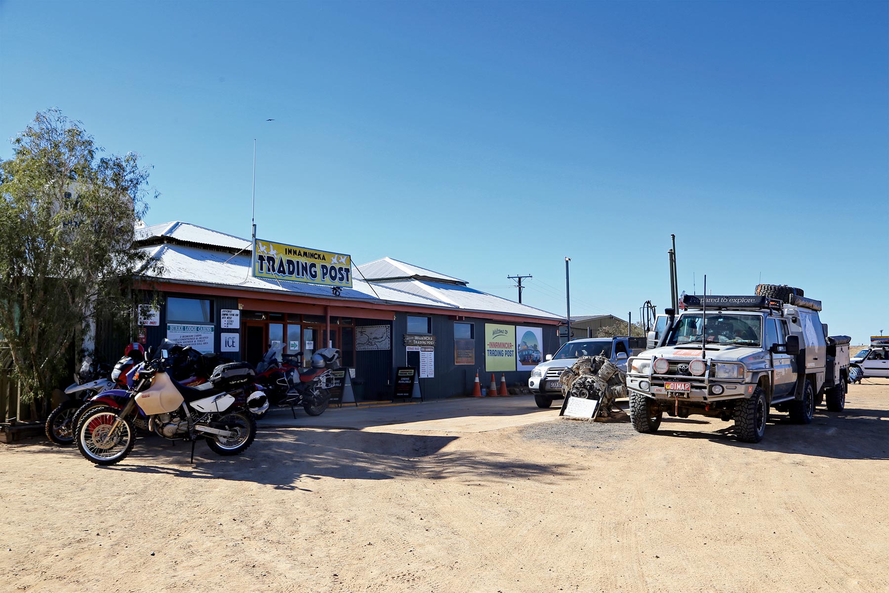
Innamincka Trading Post
Next steps
At Hema Maps, we strive to provide the most comprehensive and accurate maps and guides for outdoor enthusiasts looking to explore Australia's natural wonders.
Did you find this information useful? If so, please share it with your fellow explorers. Whether it's by SMS, social media, or email, your friends and fellow adventurers will appreciate the valuable tips and insights we've shared.
Let's work together to make the most of every adventure.
4 comments


We did this trip 3 years ago on the way back from Townsville die to covid not letting us through Vic and NSW. In a 1999 Rav4 2 door with B F Goodrich Allterains on at 20lb. Biggest issue for us was fuel as only a 40 litre tank so had a 10 litre jerry to get us to Mt Hopeless where we dumped it in then south to Arkaroola all in a day. Went north up the Birdsville previously for same reason and we got quite a few looks up on Big Red!!
It’s on the bucket list. Is there a well researched strip map like Oodnadatta Track strip map from Hema? And does Montecollina Bore have provision for off road caravans?
Totally agree with you about the water situation at Montacollina Bore, after it had been flowing for over 100yrs, they put the bore head under ground. It was an oasis great swimming, bird & wildlife would have depended on the water supply. The cattle were taken I believe from QLD by Harry. Jeff
Very sad to say there is no longer any water at Montacollina Bore rest stop. This means no birds or wildlife to see in this area anymore😟
Maybe the flow from the bore could have been slowed instead of stopped????