


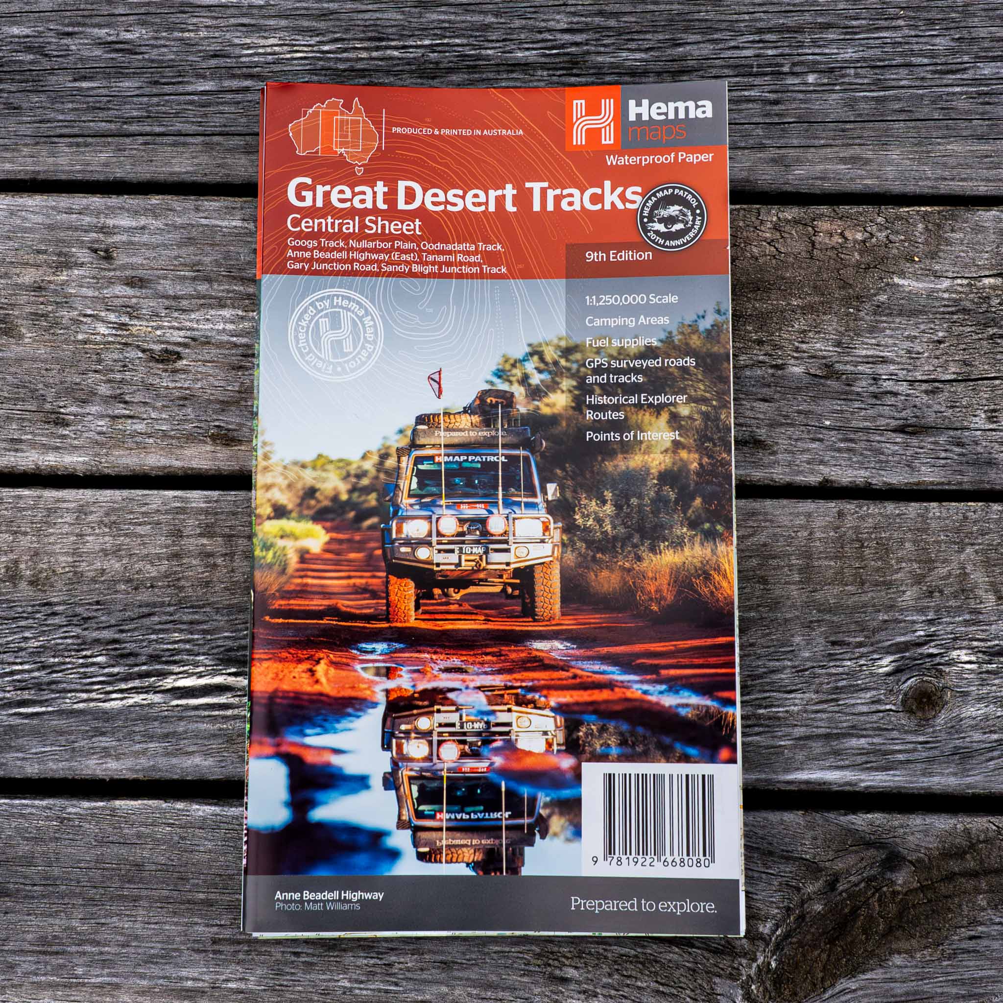
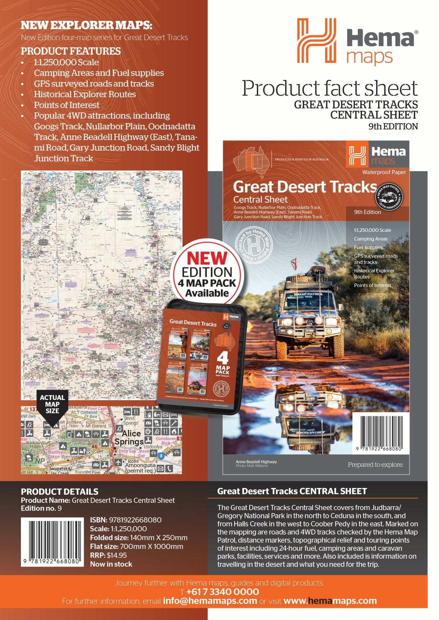
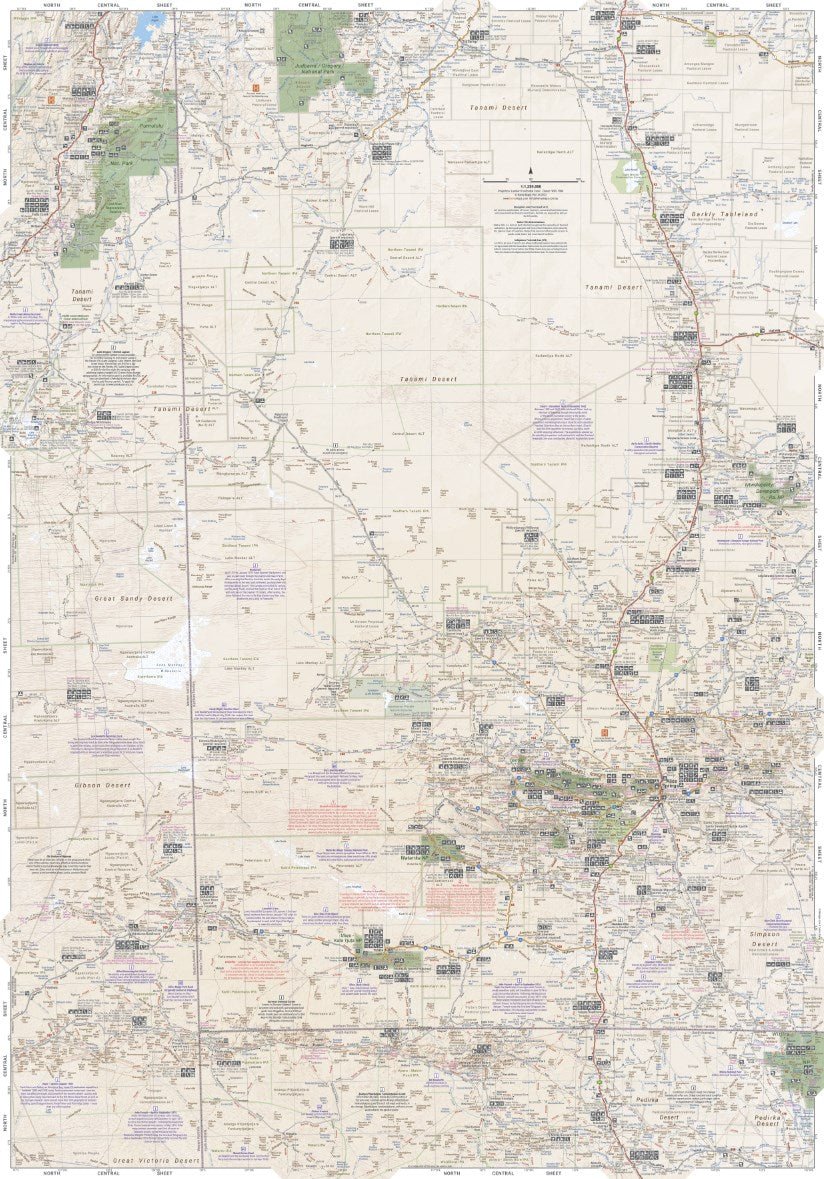
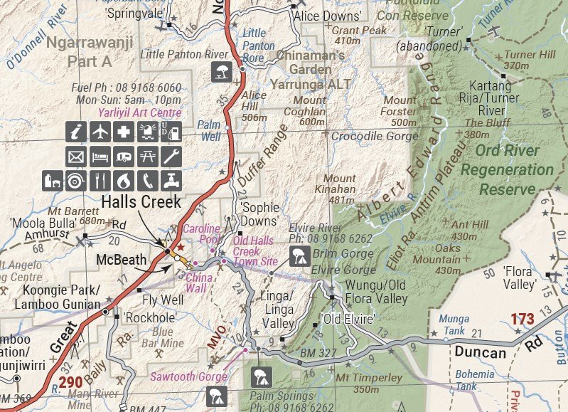
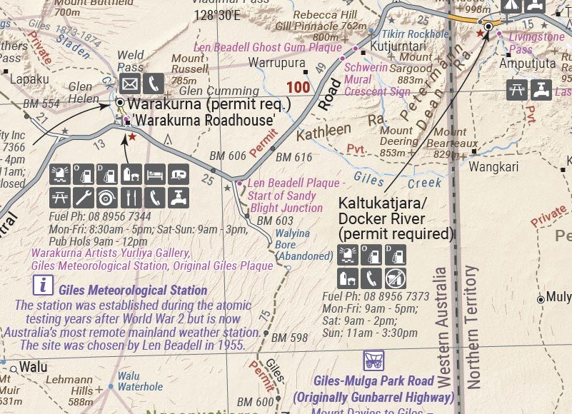
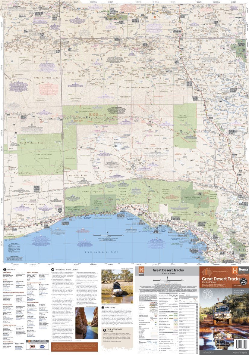
Great Desert Tracks Central Sheet
Buy it with


Price Match Guarantee
If you find one of our products cheaper with any other Australian retailer, we'll match it.
Just make a note of the price and where you have found it, and then give us a call on the following number:
Contact Hours:
Mon – Fri: 10:00am – 4:00pm
Sat – Sun: Closed
The Fine Print
We work hard to keep our prices among the best in Australia across our entire range, so we genuinely appreciate it when you let us know if another retailer has a lower price. If they do, we’ll do our best to match it.
To be eligible for a price match, the following conditions apply:
- The competitor must be an Australian retailer or website, displaying prices in Australian dollars and shipping from an Australian address.
- The product must be identical, brand new, and in stock.
- For online retailers, delivery costs will be included when comparing the total price.
Exclusions
Price matching does not apply to:
- Cashback offers or coupon-based discounts
- Commercial quantities or wholesale pricing
- Clearance or liquidation sales
- Orders that have already been completed


1x Map
Let customers speak for us

Fabulous to have these maps built into the car. I have used them for normal on road navigation amd planning off road routes. Accurate and easy to use, only addition i would add is to have a clock/time on the display as in my car the infotainment unit is where the clock is and this is not displayed when using Hema. Over all great job. Well done Hema team!

I like the Hema Mid North Coast New South Wales Featuring Barrington Tops NP map because it is detailed with lots of helpful information. I'm using it as a backup plan for Google Maps, incase Google Maps doesn't work in the areas that I need it to, as a physical copy of a map rather than as a digital map. It's easy to understand and follow the directions. Thanks Hema Team for such a wonderful map. I would highly recommend this product to anyone who needs a map of the Mid North Coast.

If you are touring the Flinders Ranges this is a must have. Information on must see’s, southern, central, and northern Flinders. Not just maps but a history, safety and travel tips. A great resource.

Excellent detailed map, love the marked rest areas and camping spots

Top little guide fits so well in my tank bag and always handy to have on them rides.great job you did really well in setting it out with all the rides top work.

Pleasantly surprised at how quickly my order arrived.

Ordering was very easy, delivery was as advised by Tracker. The map was received in good order, and although I haven't travelled yet, it seems to be very comprehensive, can't wait to actually it, as opposed to planning with it.

Well presented
Handy book to have to find tracks and places to explore.
Pin points are great guidelines.
Excellent book to keep in the car always.

The Silo Art book is absolutely fantastic, great photography, information and details as per your usual very high standard.
Delivery was very prompt and it arrived in perfect condition.
Can't wait for the next trip when lower fuel prices allow.

Holds all the maps I’ve purchased still have to buy more maps

Great service, fast and prompt. looking forward to using the map and traveling the Eyre Peninsula
Great guide, well laid out and easy to follow, appropriate size to carry on the bike, now I have added more rides to my list I would like to complete.

The HEMA Tasmania Atlas & Guide is a very useful overview of Tasmania. I do also have some 1:25000 Tasmaps of some specific areas that I will be travelling within. However, those maps are quite expensive; and, they only cover very specific areas (10km x 20km each map). The HEMA Atlas & Guide is, like I said, a very useful overview; and, I have referred to it many times already (it is now March 2026; and, I won't even get to Tasmania until November 2026!). It's a great buy and I'm very happy with my purchase.

Really happy with our new maps. Hope to travel soon.
Will look at others when we have the time to travel more. Always in the car!

Great maps - especially when we know these locations are ground truthed. Excellent work. Paper maps can never be surpassed.