


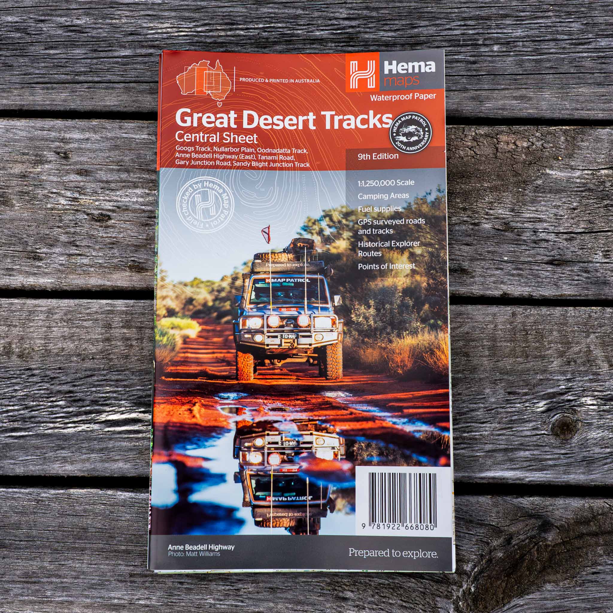
Great Desert Tracks Central Sheet
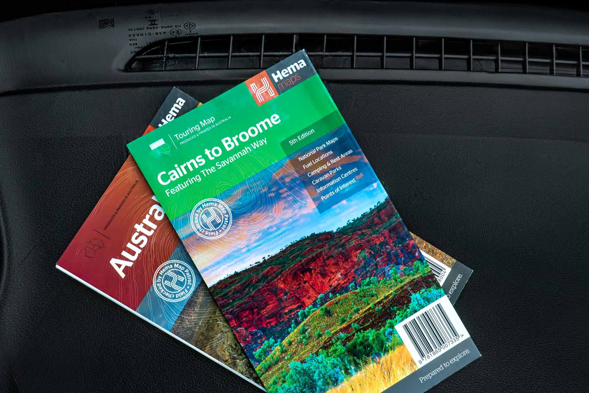
Hema's Great Desert Tracks maps are essential for anyone travelling in the Australian outback. The mapping features roads and 4WD tracks field-checked by the Hema Map Patrol, Points of Interest for remote area travellers and touring information for learning more about the region and planning your journey.
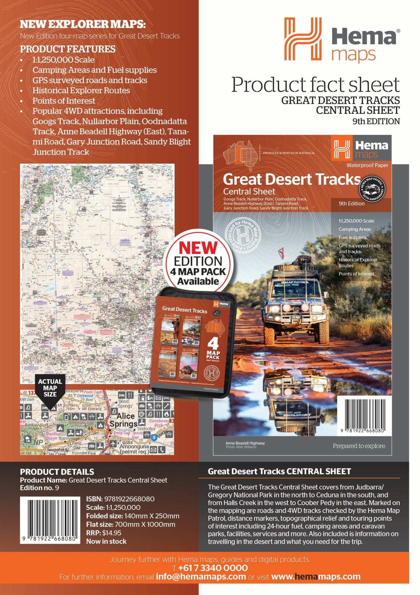
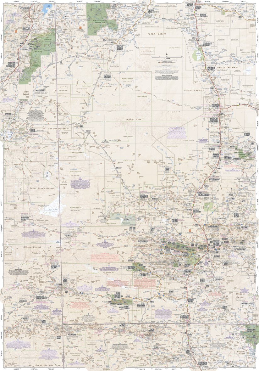
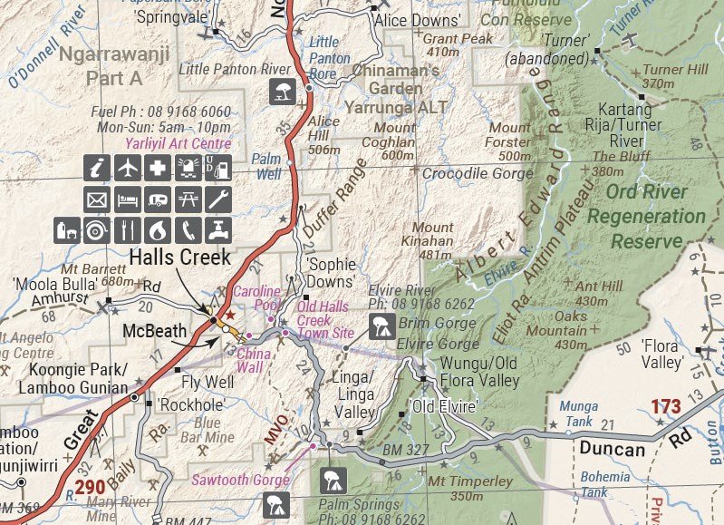
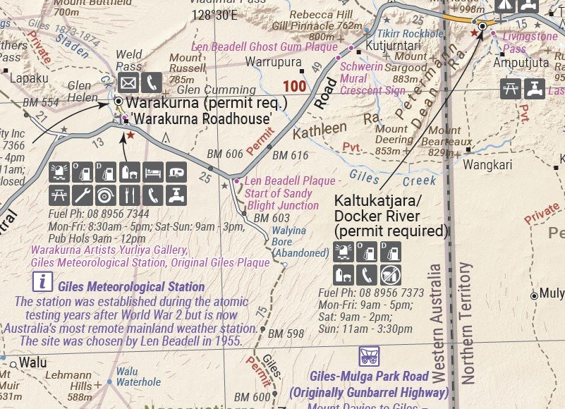
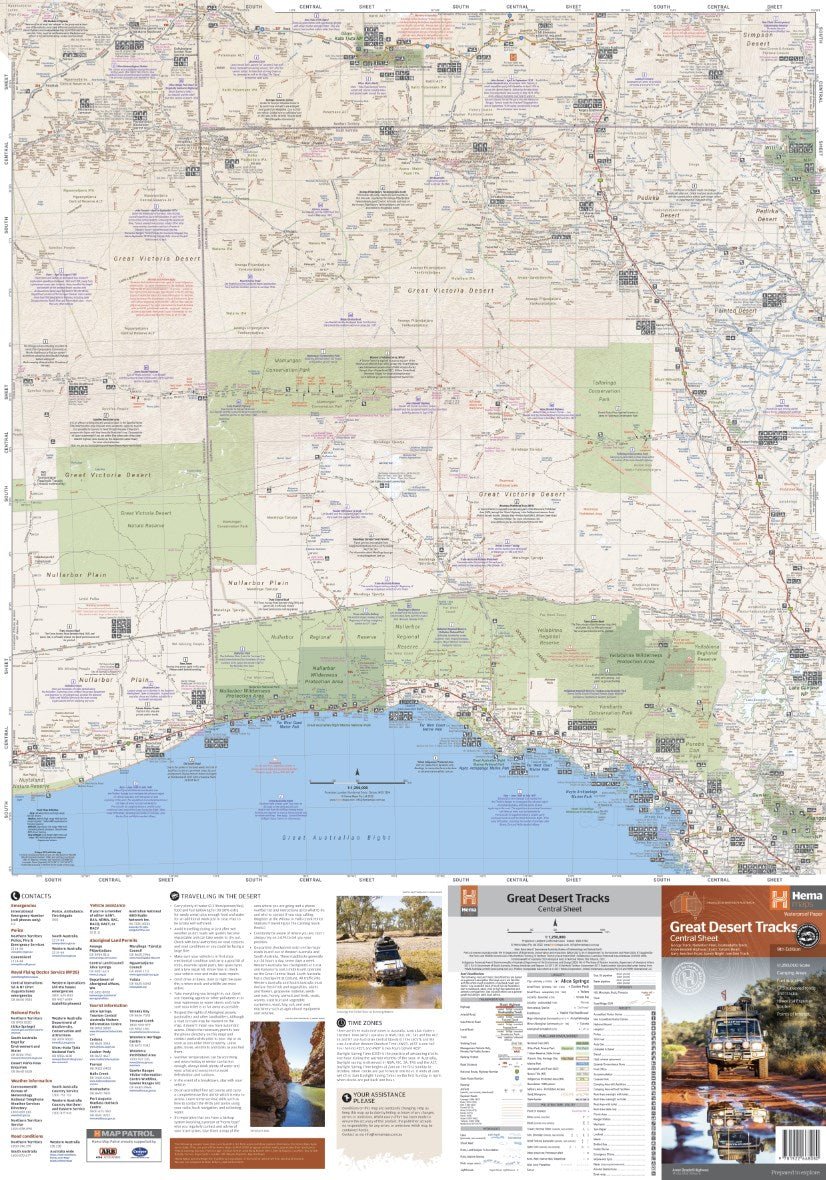
The Great Desert Tracks Central Sheet covers from Judbarra/Gregory National Park in the north to Ceduna in the south, and from Halls Creek in the west to Coober Pedy in the east. Marked on the mapping are roads and 4WD tracks checked by the Hema Map Patrol, distance markers, topographical relief and touring points of interest including 24-hour fuel, camping areas and caravan parks, facilities, services and more. Also included is information on travelling in the desert, what you need for the trip and relevant contact information.
Key tracks include:
- Googs Track
- Nullarbor Plain
- Oodnadatta Track
- Anne Beadell Highway (East)
- Tanami Road
- Gary Junction Road
- Sandy Blight Junction Track
Key Features
- All maps field checked by the Hema Map Patrol
- Printed on durable, waterproof paper
- Camping areas
- Fuel supplies
- GPS surveyed roads and tracks
- Historical explorer routes
- Points of Interest
Buy it with


Price Match Guarantee
If you find one of our products cheaper with any other Australian retailer, we'll match it.
Just make a note of the price and where you have found it, and then give us a call on the following number:
Contact Hours:
Mon – Fri: 10:00am – 4:00pm
Sat – Sun: Closed
The Fine Print
We work hard to keep our prices among the best in Australia across our entire range, so we genuinely appreciate it when you let us know if another retailer has a lower price. If they do, we’ll do our best to match it.
To be eligible for a price match, the following conditions apply:
- The competitor must be an Australian retailer or website, displaying prices in Australian dollars and shipping from an Australian address.
- The product must be identical, brand new, and in stock.
- For online retailers, delivery costs will be included when comparing the total price.
Exclusions
Price matching does not apply to:
- Cashback offers or coupon-based discounts
- Commercial quantities or wholesale pricing
- Clearance or liquidation sales
- Orders that have already been completed


1x Map
Let customers speak for us

Typical of the quality I have come to expect from Hema Maps, this product is very comprehensive with all the informatoon needed to experience this part of the country with confidence and certainty of havi g a great and enjoyable travel experience.

Expensive but worth it

Great maps as all ways

Great quality and well arranged

Great books

Excellent addition to the travel portfolio

These are great we have lots now

One of my favourite things to do whilst travelling, very helpful book to find more and well presented.

Great detail.

Great detail.

Greqt detail.

Well presented book, good photos and great stories to go with it.
As I am updating with my new Hema I am sure before I turn it on that it will perform straight out of the box. Always a great product and ok delivery no transport damage.

City maps work really well. Looking forward to the 4wd maps on my next trip.

Great product.. i use the maps in my 4wd and have prevuouslybused hema maps on my across the desert motorbike trips.. this unit will make my next reip alot easier especially with thr handle bar scroller


