

Top End and Gulf Atlas & Guide
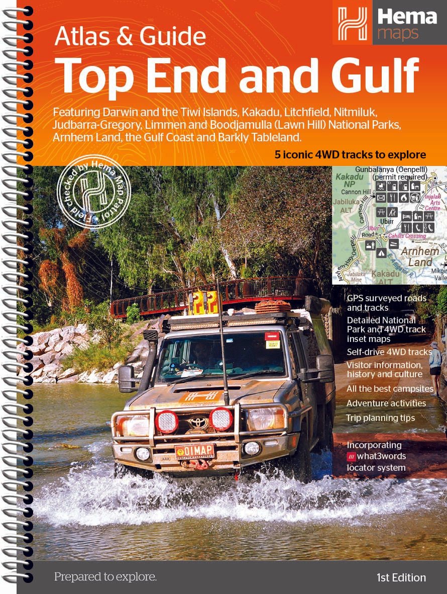
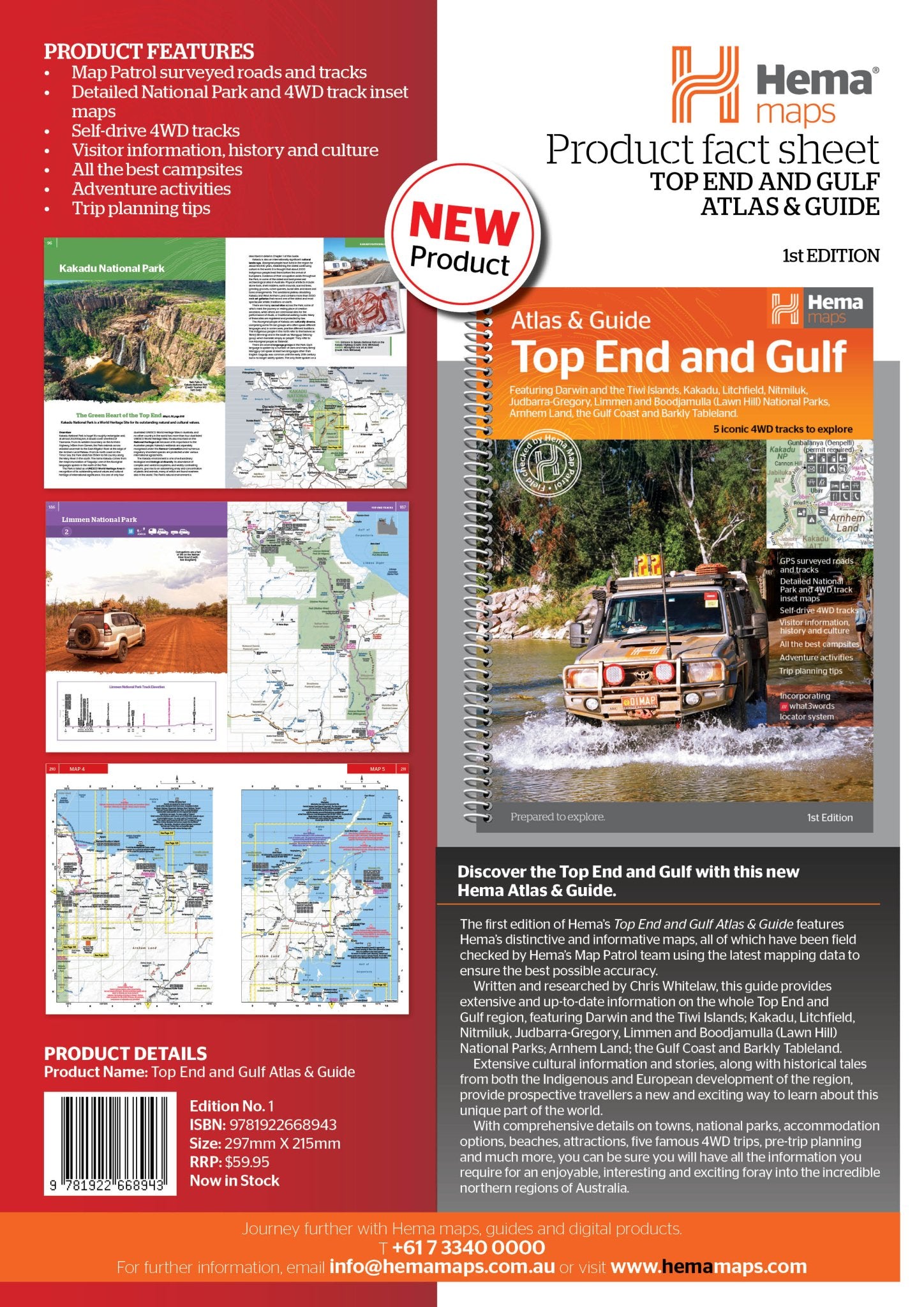
Discover the Top End and Gulf with this new Hema Atlas & Guide.
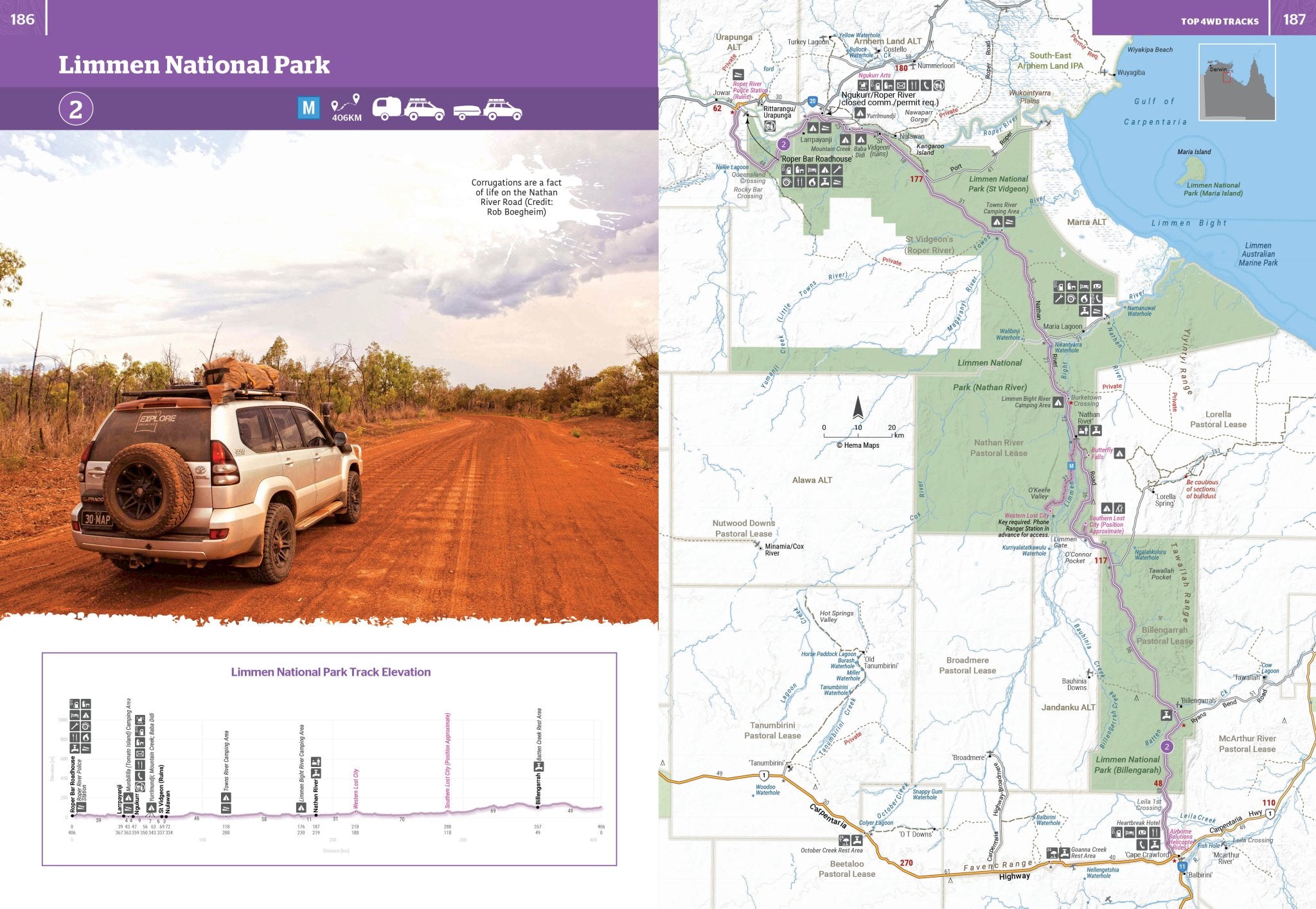
The first edition of Hema’s Top End and Gulf Atlas & Guide features Hema’s distinctive and informative maps, all of which have been field checked by Hema’s Map Patrol team using the latest mapping data to ensure the best possible accuracy.
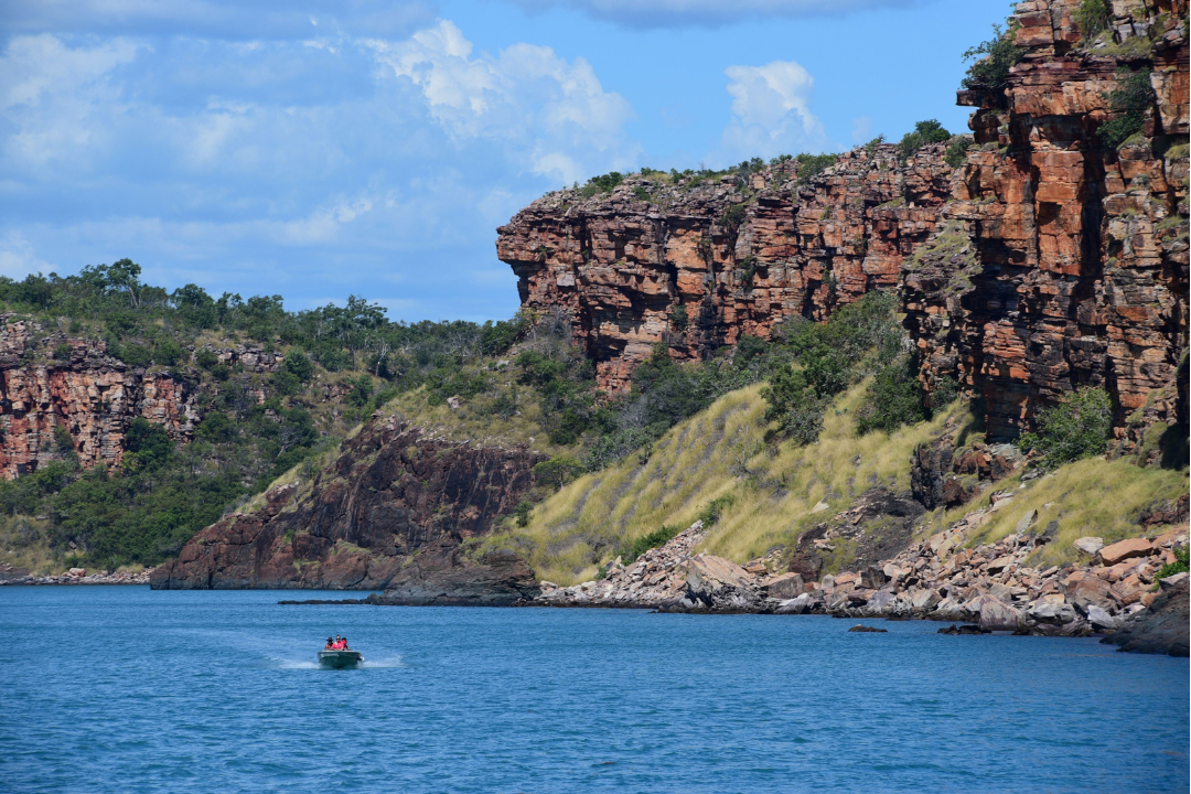
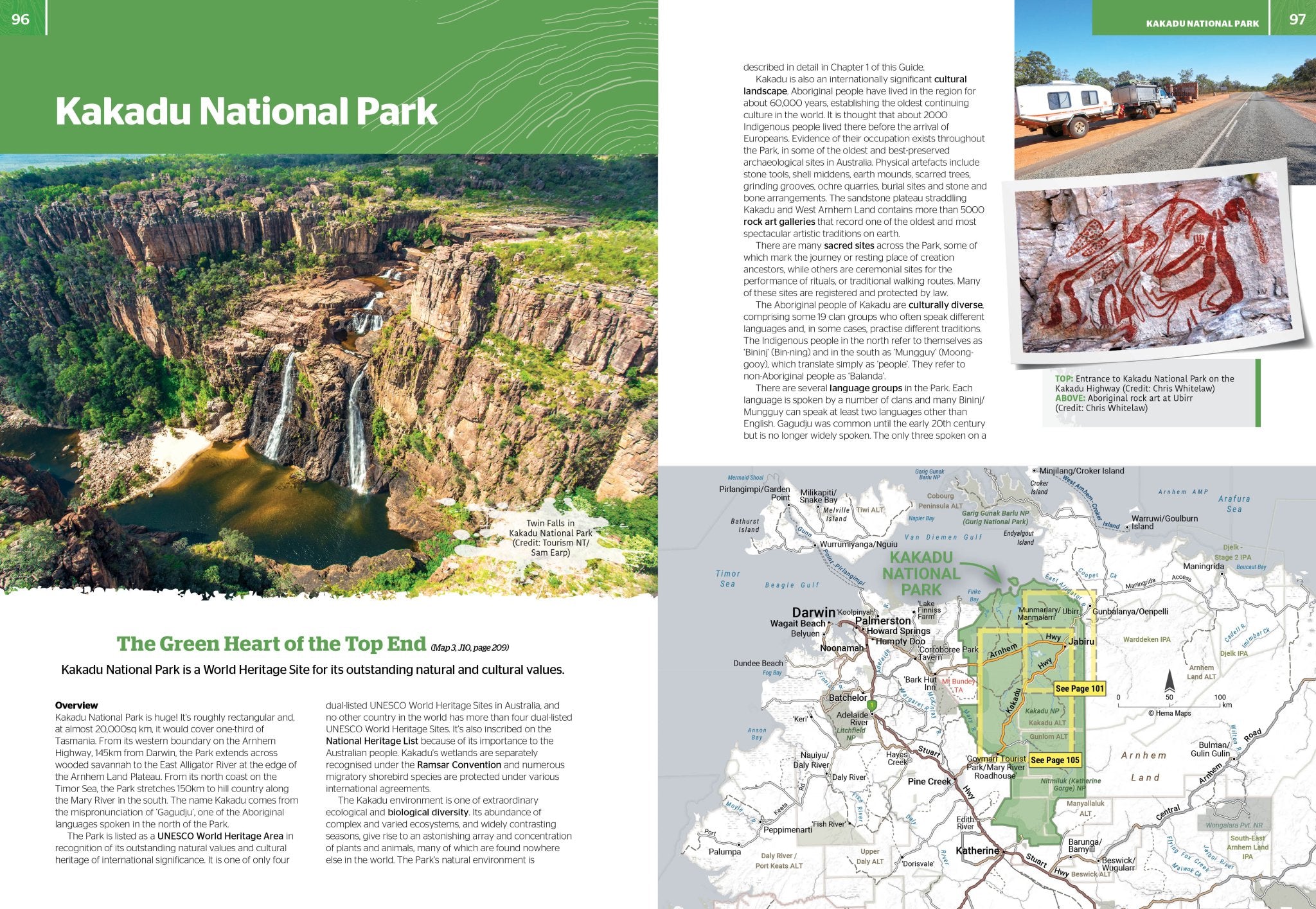
Written and researched by Chris Whitelaw, this guide provides extensive and up-to-date information on the whole Top End and Gulf region, featuring Darwin and the Tiwi Islands; Kakadu, Litchfield, Nitmiluk, Judbarra-Gregory, Limmen and Boodjamulla (Lawn Hill) National Parks; Arnhem Land; the Gulf Coast and Barkly Tableland.
Extensive cultural information and stories, along with historical tales from both the Indigenous and European development of the region, provide prospective travellers a new and exciting way to learn about this unique part of the world.
With comprehensive details on towns, national parks, accommodation options, beaches, attractions, five famous 4WD trips, pre-trip planning and much more, you can be sure you will have all the information you require for an enjoyable, interesting and exciting foray into the incredible northern regions of Australia.
Key Features
- Map Patrol surveyed roads and tracks
- Detailed National Park and 4WD track inset maps
- Self-drive 4WD tracks
- Visitor information, history and culture
- All the best campsites
- Adventure activities
- Trip planning tips
Map Content
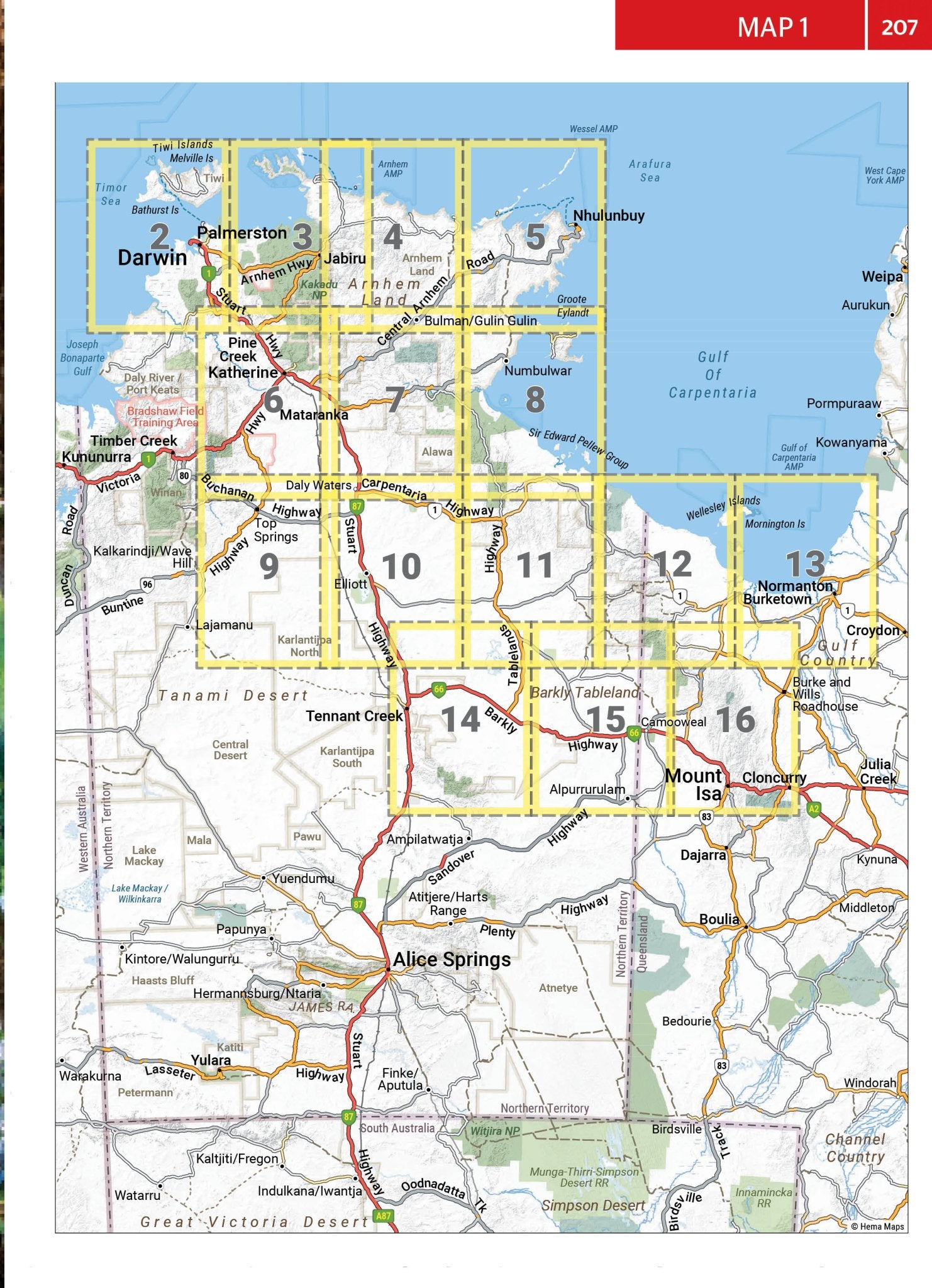
- 2x Key Maps - inside front cover & start of atlas section
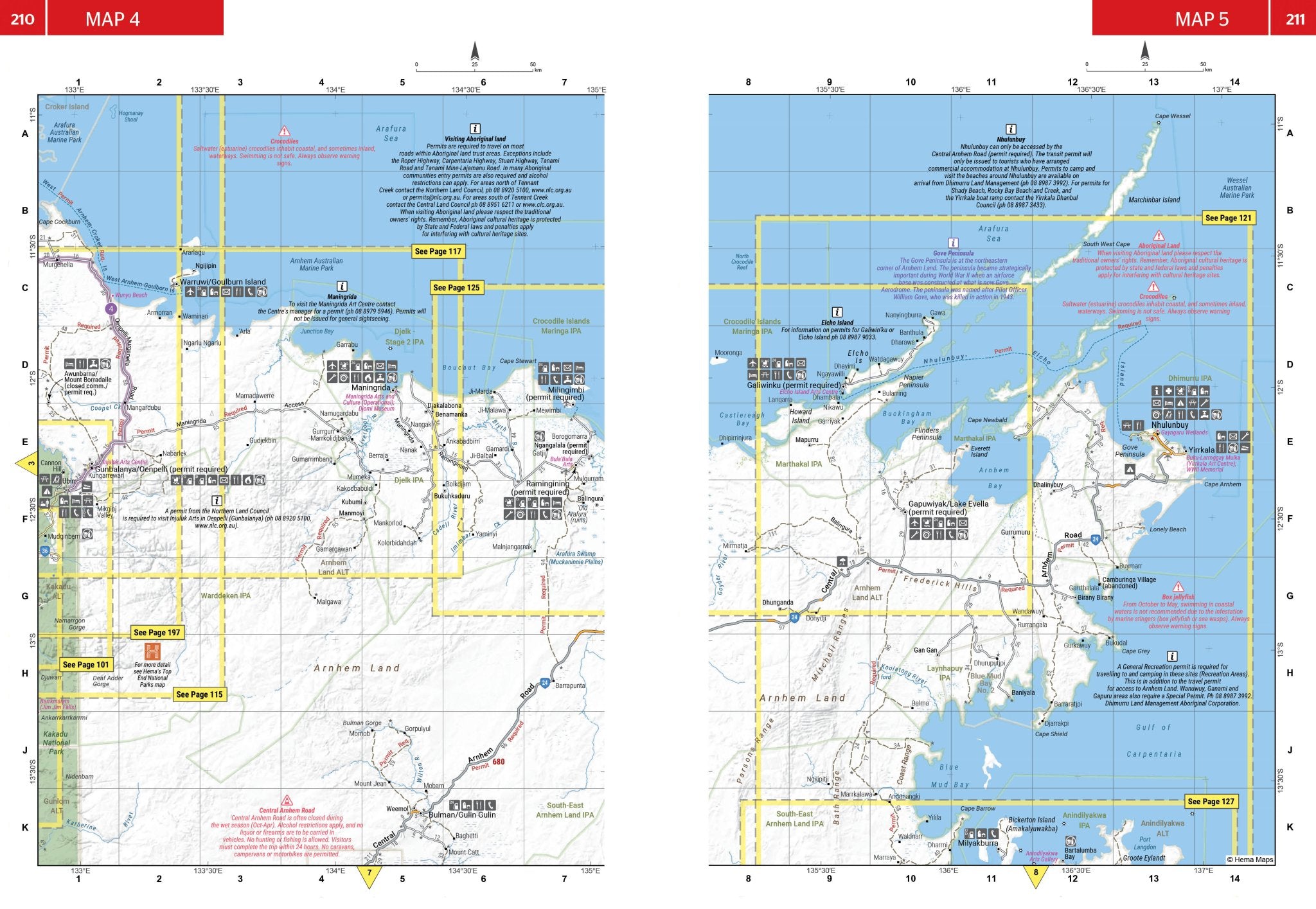
- 24x Inset Maps
- 8x Overview maps - 4WD & Regions
Have you considered?


Price Match Guarantee
If you find one of our products cheaper with any other Australian retailer, we'll match it.
Just make a note of the price and where you have found it, and then give us a call on the following number:
Contact Hours:
Mon – Fri: 10:00am – 4:00pm
Sat – Sun: Closed
The Fine Print
We work hard to keep our prices among the best in Australia across our entire range, so we genuinely appreciate it when you let us know if another retailer has a lower price. If they do, we’ll do our best to match it.
To be eligible for a price match, the following conditions apply:
- The competitor must be an Australian retailer or website, displaying prices in Australian dollars and shipping from an Australian address.
- The product must be identical, brand new, and in stock.
- For online retailers, delivery costs will be included when comparing the total price.
Exclusions
Price matching does not apply to:
- Cashback offers or coupon-based discounts
- Commercial quantities or wholesale pricing
- Clearance or liquidation sales
- Orders that have already been completed


1x Atlas and Guide
Let customers speak for us

Hema make the best road atlas on the market.

Good stuff

Perfect 👌

Epic full of useful information

Great books

Great product

great maps and shipped so quick ☺️

Awsome products and speedy delivery
great details 👌

Typical of the quality I have come to expect from Hema Maps, this product is very comprehensive with all the informatoon needed to experience this part of the country with confidence and certainty of havi g a great and enjoyable travel experience.

Expensive but worth it

Great maps as all ways

Great quality and well arranged

Great books

Excellent addition to the travel portfolio

These are great we have lots now


