:
Sheepyard Flat to Jamieson
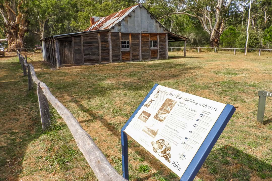
 The 4WD track from Sheepyard Flat to Jamieson has steep climbs and interesting alternate routes. Make sure to stop at a couple of historical areas including Howqua Hills Historical Area, Frys Hut and the Mitchells Homestead ruins.
Essential information
| Grading | Medium. Low range and high clearance |
|---|---|
| Time | 1 day |
| Distance | 109km Mansfield to Jamieson; 118km if taking Doughertys Road. |
| Longest drive without fuel |
109km; 1-day fuel endurance in heavy 4WD conditions |
| Fuel & supplies | Mansfield, Merrijig (no fuel), Jamieson |
| Best time of year | Spring and summer; Mitchells Track section closed in winter |
| Warnings | Tracks around Mount Buller are subject to close anytime between May and January because of changing conditions. Call the Mount Buller & Mount Stirling Alpine Resort Management Board Ph (03) 5777 6077 for information. |
| Fire bans | Howqua Hills Historical Area will be closed on Code Red (catastrophic) days |
| Facilities | Jamieson, Mansfield, Merrijig |
| Important contacts | Mansfield Visitor Information Centre Ph (03) 5775 7000, 1800 039 049 |
| Activities | Skiing (winter), bushwalking, horse riding (horses allowed in Howqua Historic area from November - 31st May) |
The Track
View on Hema Cloud | View Fullscreen Map
Mansfield is the departure point for our trip to Jamieson through Howqua Hills. Leave Mansfield and travel east towards Mount Buller on the Mansfield - Mount Buller Road. Just through Merrijig and to the south you'll find the signposted Howqua Hills Road leading to Sheepyard Flat. An alternative route to Sheepyard can be taken via the more interesting Doughertys Road, which starts 9km down the Mansfield - Mount Buller Road near Sawmill Settlement. From Sheepyard Flat, continue on to Frys Hut.
 From there travel to Tobacco Flat on the Howqua Hills Track, which leads into Steiners Road. The track runs into Mitchells Track passing the Mitchells Homestead ruins and Mitchells Flat campsite. There is a very steep climb from Mitchells Track to Wrens Flat and west onto Mount Sunday Road. Mount Sunday Road runs into Silvermine Saddle Road and takes you out on to the Heyfield - Jamieson Road to complete the journey to Jamieson.
Camping
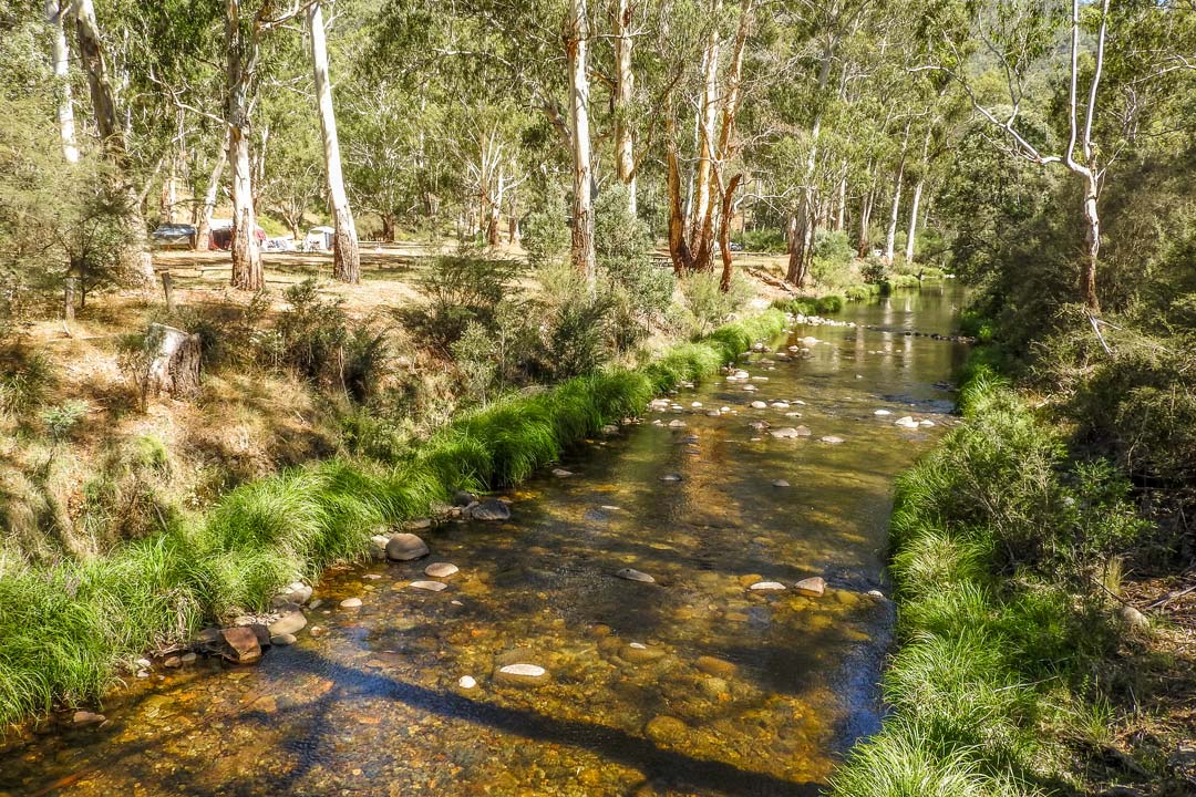
Blackbird Flat and Carters Road camping areas have fire pits and toilets, while Frys Flat and Grannys Flat have the same facilities but are also pet friendly. Mitchells Flat (4WD-only) and Sheepyard Flat have picnic areas in addition to toilets and fire pits, while Tobacco Flat (4WD-only) and Wrens Flat have no facilities.
 Things to do
The Howqua Hills Historical Area offers a wealth of things to see. Pass through the Howqua Greenstone where you can see outcroppings of some of the alpine area's oldest rocks. Prized for its hardness, Aborigines once used these rocks for spearheads, axes and tools.
 There are relics to see amidst the old ruins of Mitchells Flat, Slate and Cinnibar Mine. Check out the 100-metre tunnel through Tunnel Spur at Tunnel Bend. You'll find the remains of a water race above the road between Tunnel Bend and Sheepyard Flat. If you're keen to take a walk, try the Howqua Hills Historic Walk (1.5 hr return) with its self-guided information panels. The walk follows the Howqua River from S


0 comments