:
Mt Terrible
 Taking you from Jamieson to Woods Point in the heart of the High Country, this half-day trip requires low range and high clearance to negotiate.
The Essentials
| Grading | Low range and high clearance |
|---|---|
| Time | Half-day |
| Longest drive without fuel |
59km Jamieson to Woods Point; 64km on alternate track to Mount Matlock |
| Fuel & supplies | Jamieson, Woods Point |
| Best time of year | 4WD, fishing, canoeing, horse riding, bushwalking, fossicking (restrictions apply), swimming |
| Warnings | Several of these roads are subject to closure any time between July and late October. Check road closures before setting off. |
| Facilities | Jamieson, Woods Point |
| Important contacts | Mansfield Visitor Information Centre Ph (03) 5775 7000 or 1800 039 049 Woods Point General Store Ph (03) 5777 8220 |
| Activities | 4WD, Fishing, Canoeing, Horse Riding, Bushwalking, Fossicking (restrictions apply), Swimming |
The Track
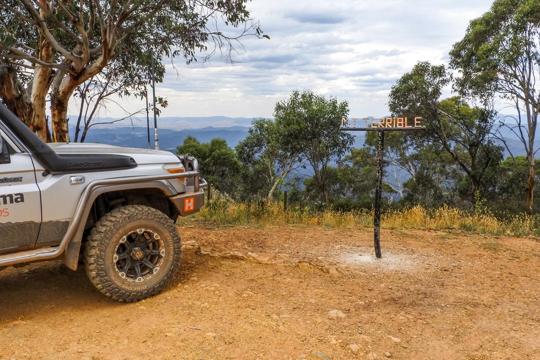
Jamieson is the starting point for the trip around Mount Terrible. Head north to the Eildon - Jamieson Road. Turn west towards Eildon. Travel to the Mount Terrible Track to the south and follow it, climbing up to the Fire Tower where you will find excellent views of Mount Terrible and surrounds. For some 4WD action, the Mount Terrible Track runs into Ryan Spur Track. Follow Ryan Spur Track to Frenchmans Gap Track to the Mansfield - Woods Point Road. You can also take the Corn Hill Road to the Warburton - Woods Point Road into Woods Point.
 Camping
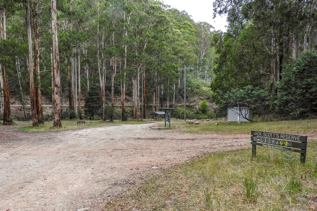
Camping is available at Scotts Reserve, Jamieson Caravan Park (Ph [03] 5777 0567 ) and Richmond Retreat Woods Point (Ph [03] 5777 8285).
Things to do
Check out Woods Point, a great place to spend some time exploring. There are reminders of the past everywhere in Woods Point; old advertising signs and a well-preserved service station add to the historic delight of this unique town. While skirting around the southern part of Lake Eildon stop at the Goulburn and Jamieson rivers for trout fishing, canoeing and fossicking.
 Visit some of Jamieson's historic buildings, the most notable of these being the former Court House (built in 1864) that now serves as a museum. You can jump on a horse and enjoy parts of the Bicentennial National Trail located near Woods Point. There are several old mine sites scattered outside the town that give insights into the area's mining history. Hunting of sambar deer by stalking is permitted in restricted areas at certain times of the year.
 Australia's Largest Mountain Range
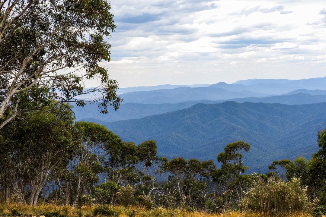
Though Australia isn't primarily known for its mountains, the Great Dividing Range (or the Eastern Highlands) is actually the world's fourth largest mountain range. It runs almost the entire length of the Eastern coastline through New South Wales and Victoria. This impressive collection of peaks and complex geography hindered European exploration, but it also has helped to keep the area remote and pristine. This particular track provides amazing views out over the Great Dividing Range that will give you an idea of just how large and expansive this landscape is.


0 comments