Driving the Canning Stock Route
Words and Pics Matt Williams
Running for 1850km through Outback Western Australia, the Canning Stock Route is one of the world's most challenging and remote 4WD tracks.

When the opportunity to drive the Canning Stock Route updating Hema's Great Desert Tracks Atlas & Guide arises, you make sure your calendar is free!
That is how we ended up in the remote Aboriginal community of Billiluna, 170km south of Halls Creek in Western Australia. Three days earlier, we had flown from Brisbane to Alice Springs to pick up the Hema Map Patrol research vehicle. This fully kitted-out 76 Series LandCruiser was to be our home and office for the next nine weeks. The final packing was done, groceries bought and the fridge stocked before we headed north west out of Alice along the Tanami.
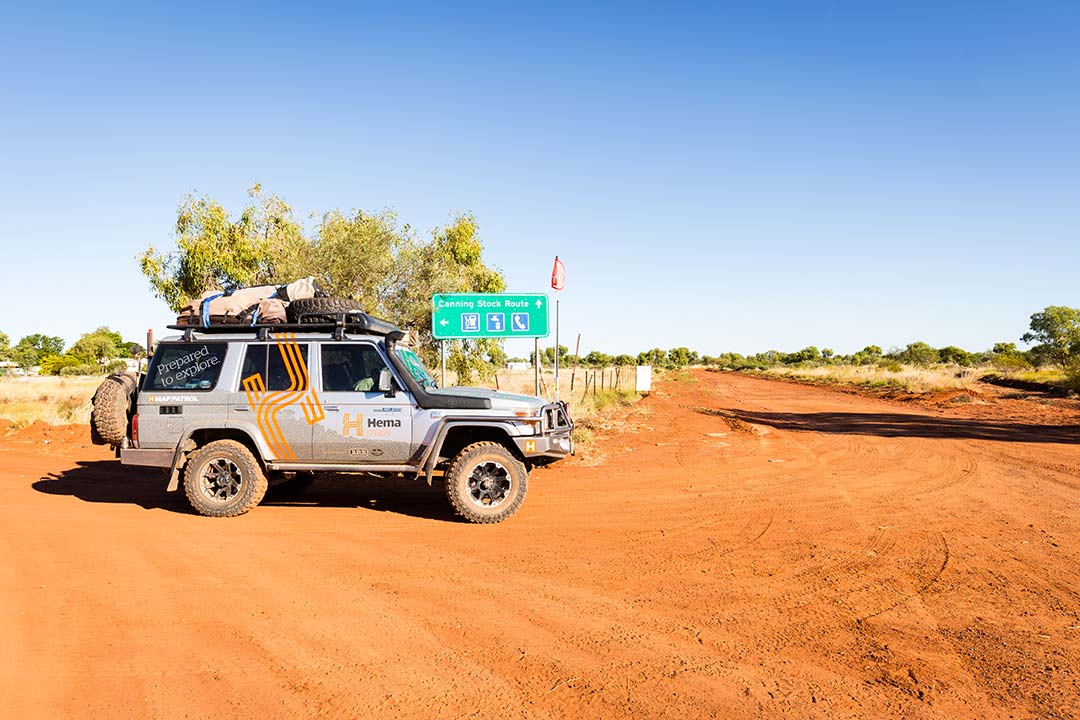
When it comes to Australia's top 4WD Tracks, they don't come much bigger than the Canning Stock Route. Following the route (or close to it) blazed by Alfred Canning back in 1906, this track covers roughly 1850km of pure off-road heaven, stretching from Halls Creek in the Kimberley region to Wiluna in Mid-West Western Australia. There's also a lot of history thrown in for good measure, as you wend your way past the sites of the 51 wells and waterholes along the route. Some of the wells have been restored by volunteer groups and provide not only an insight in to what it was once like on the CSR, but also remain a valuable source of water. In most cases, the water from the restored wells is of good quality, but will still need to be boiled prior to drinking.
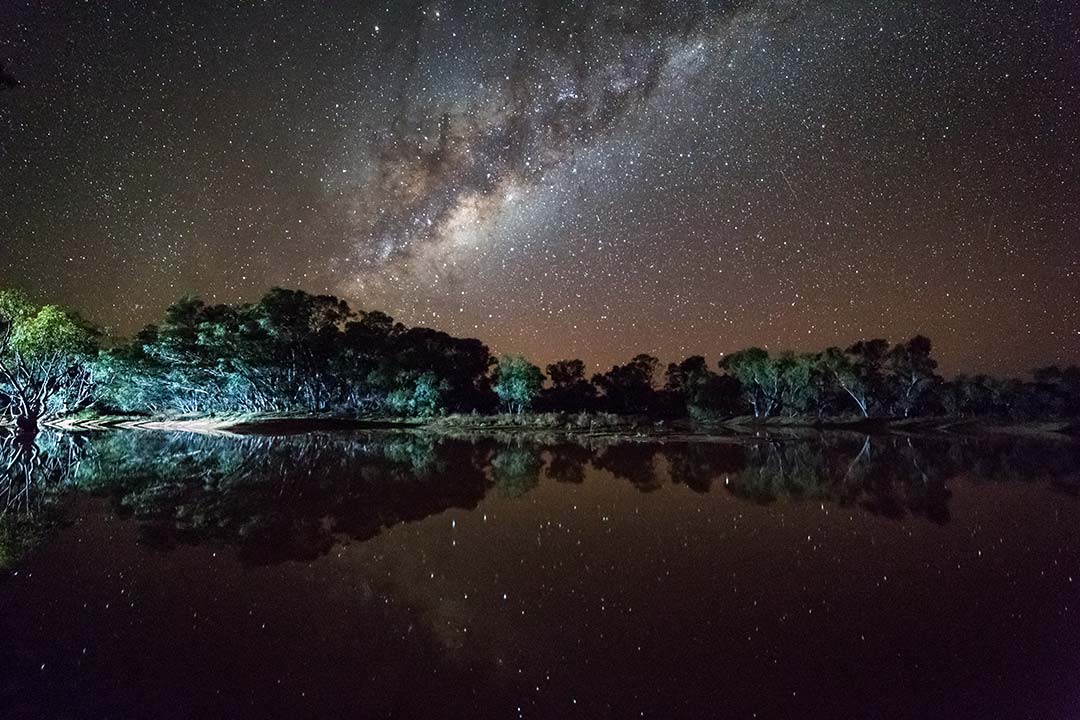
Billiluna is your last chance to fill up the long range tanks and grab any last minute provisions from the general store, before embarking on one of this country's greatest 4WD tracks. Today also just happened to be my 40th birthday, and my wife surprised me with a Magnum as my makeshift birthday cake. On a day of 35°C, it didn't last long. We left Billiluna mid-afternoon with Stretch Lagoon the target for our first night’s camp on the CSR. If this spot isn't on your radar, get a new radar, or the HX-1!
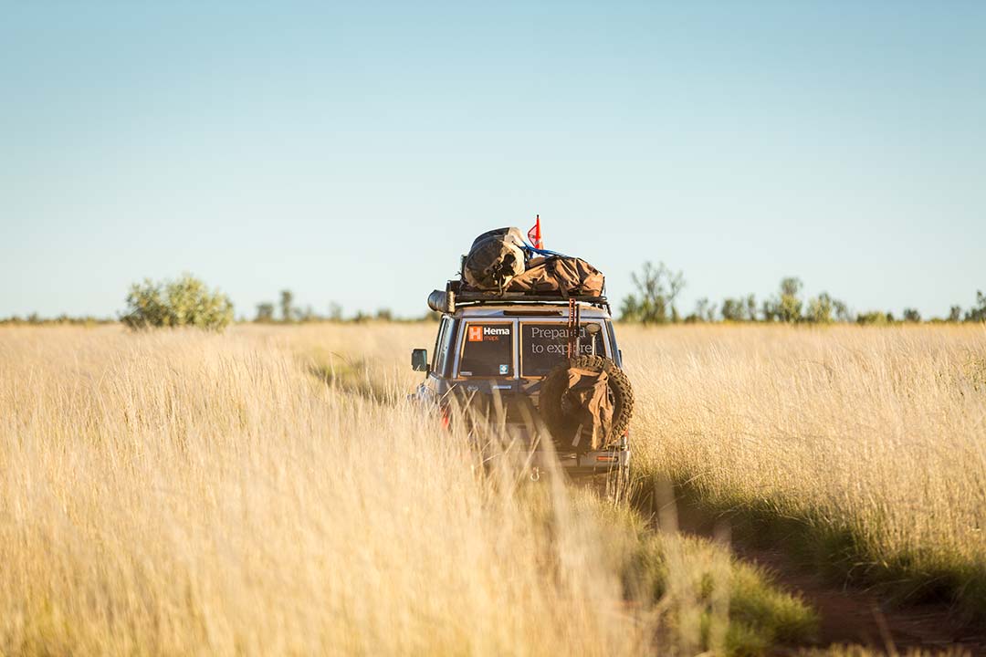
The next day the anticipation of our first full day on the Canning Stock Route had us out of our swag well before the sun had risen. As the long shadows started to stretch across the red dirt and spinifex, it was time to hit the road, and begin our adventure proper.
Making our way south, it wasn't long until the reality of being in one of the most remote regions of Australia became very apparent. A call was heard over the UHF radio, that there had been an accident at Well 47 and that a chopper was en route to evacuate the injured person. We were not far, in terms of distance from Well 47, but that didn't mean we were close by. Another call was heard, this time from the chopper pilot, who was trying to locate the patient at Well 47.
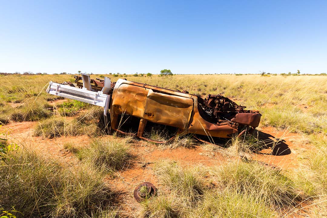
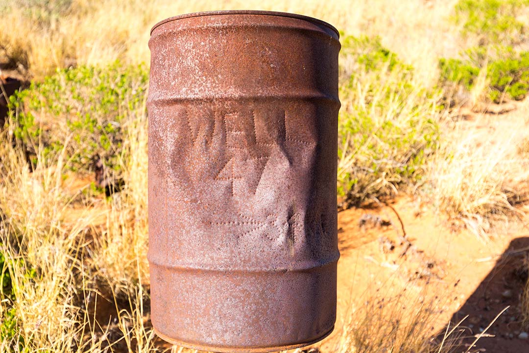 Images: Rolled Hilux (left) and sign for Well 47 (right)
Unfortunately, the GPS coordinates that he had been given were incorrect. Fortunately, for both the pilot and the patient, we were able to relay the correct coordinates and get the chopper to where it was needed. Just another reason to have the right gear when you head into these remote areas.
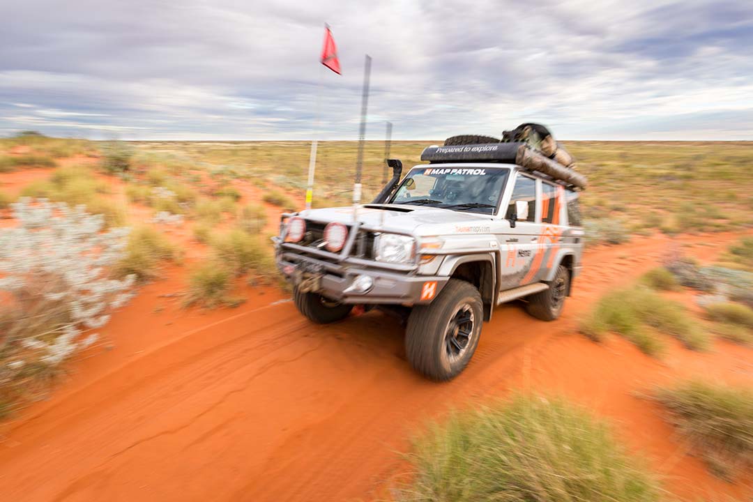
We arrived at Well 47 minutes after the chopper had airlifted the patient away, and got talking to the others in her group. A broken arm, suspected hip injury and a great deal of disappointment were the reports coming from her fellow travellers, as she was the driving force behind the group tackling the Stock Route. Funnily enough, we were to meet up with this group again further south near Well 13 weeks later, where the injured lady had rejoined the group and was enjoying her trip as a chauffeured passenger!
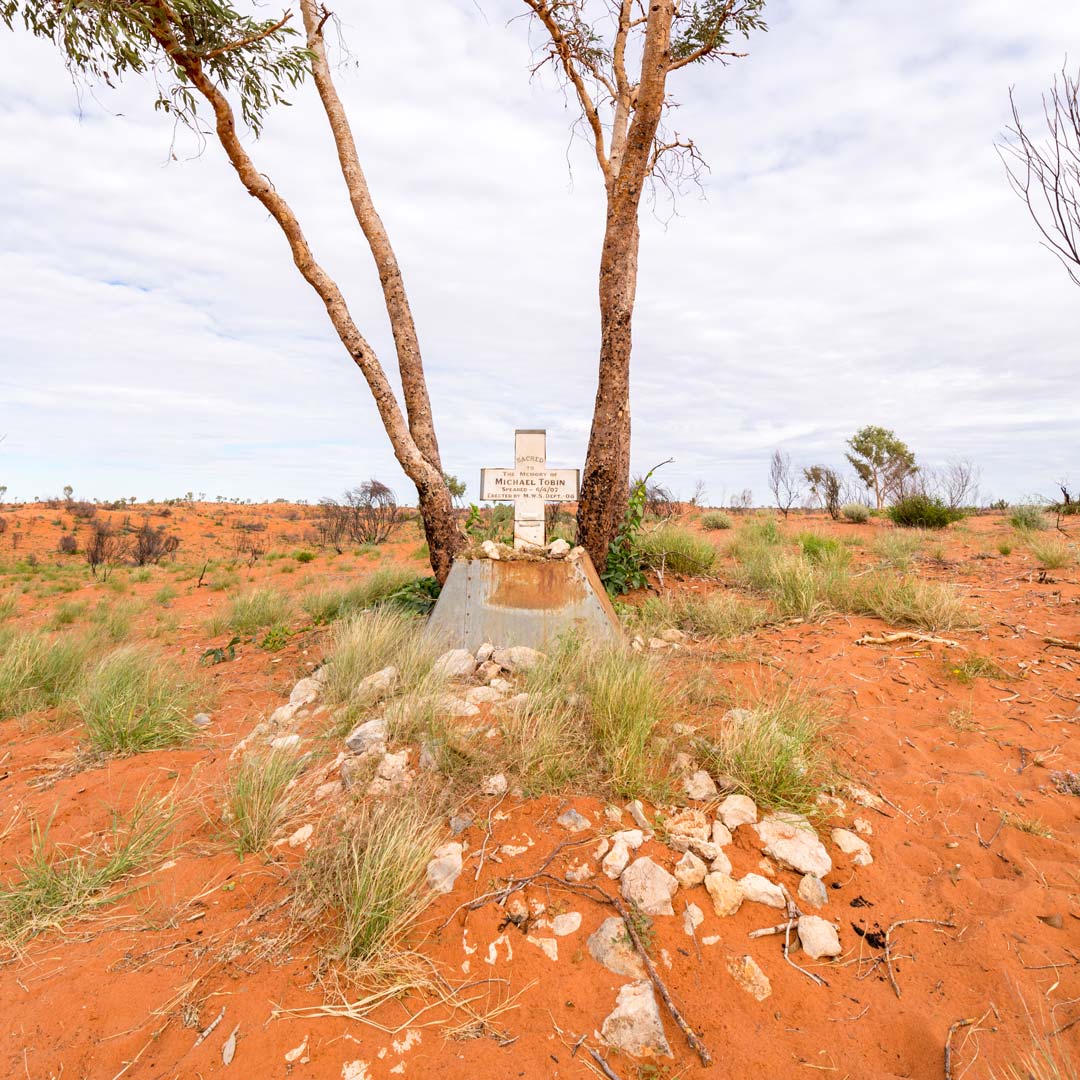
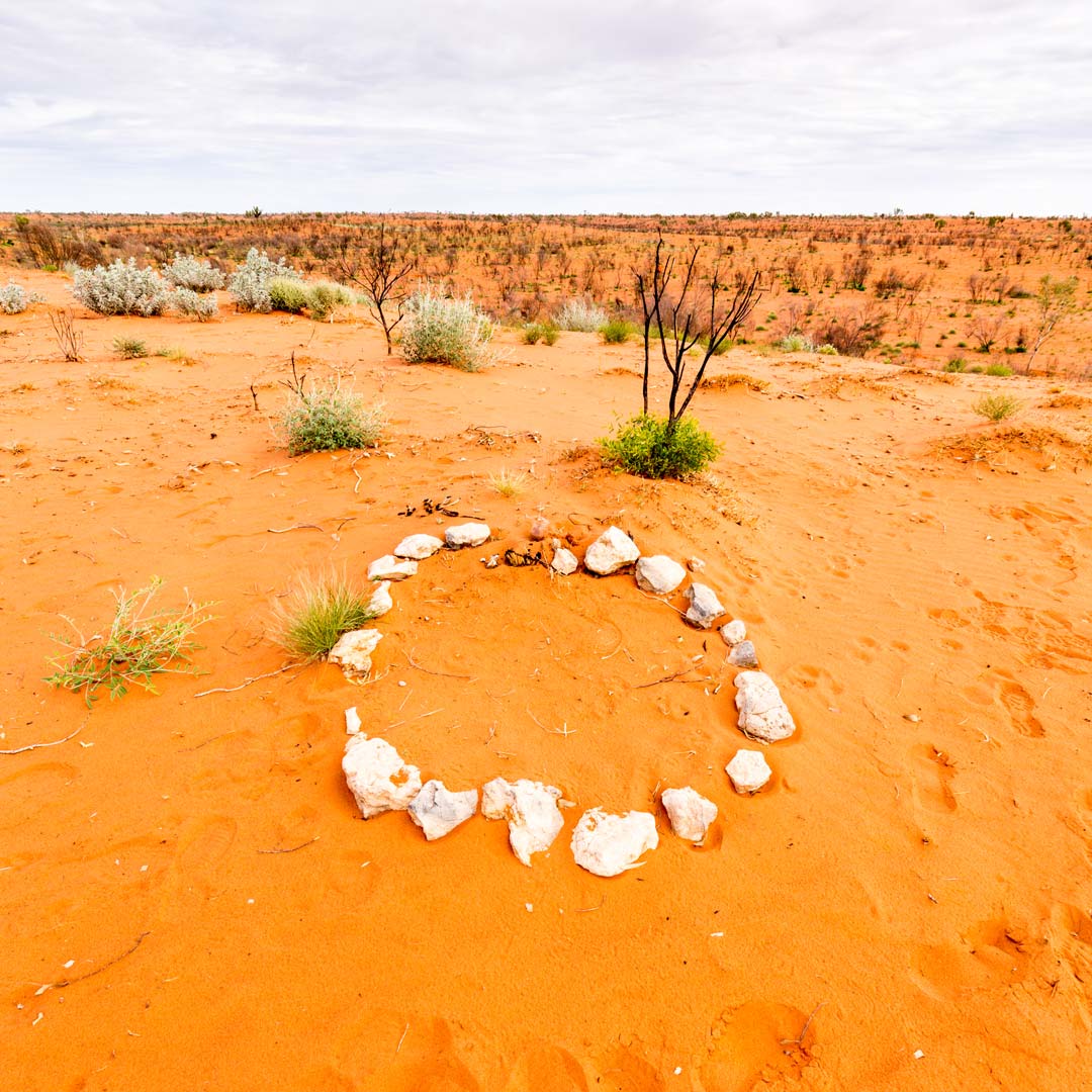 Images: Graves of Michael Tobin (left) and Mungkututu (right)
Passing through four different desert regions (the Tanami, the South and North Gibson, and the Little Sandy Desert), the landscape here is forever changing. Sometimes it seems to change from dune to dune, especially after winter rains when the wildflowers are in bloom. One thing that doesn't change, is the constant corrugations. They are always there, it's just the size of them that changes.
It's always a good idea to drop a few pounds out of your tyres to help your suspension in these sorts of conditions (and a few k's off your speedo too). On a side trip in to Newman in the heart of the Pilbara, we got talking to the manager of the local ARB store. He informed us that he had never seen so much carnage from the CSR as what he had this year!
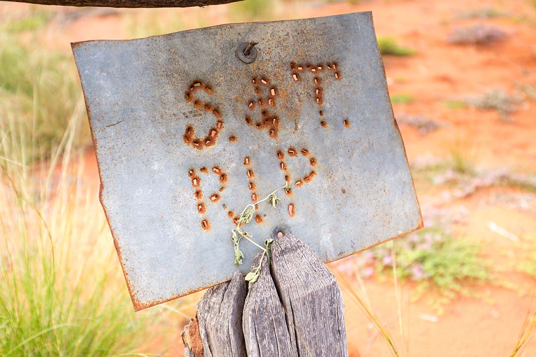
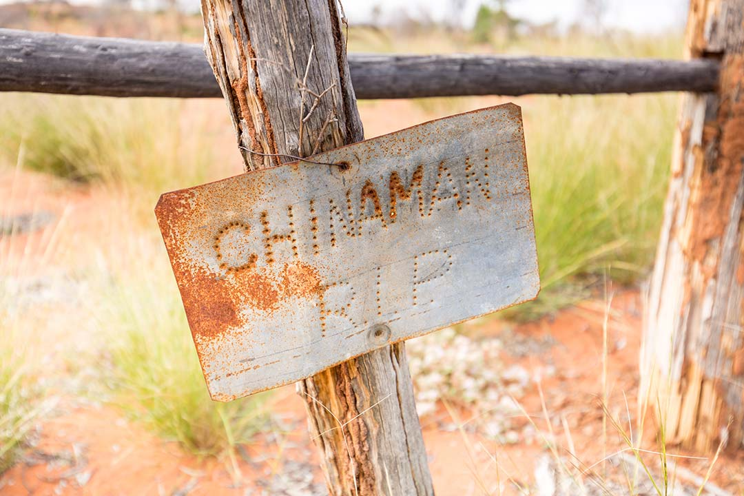
Images: Graves of Shoesmith and Thompson (left) and Chinaman (right)
For those of you with a morbid interest in our collective past, there is plenty to keep you busy along the CSR, with grave sites at a number of the wells. Just a short walk from Well 40, you can find the grave of Michael Tobin. Michael Tobin was a member of Canning's original party and in 1907 on their return to Wiluna, Tobin was fatally speared. At the same moment, Tobin shot and killed Mungkututu, the Aboriginal man who had speared him. Close by, there is a grave for Mungkututu marked only with white rocks. At Well 37, also known as the 'Haunted Well' due to the collection of grave sites, you will find the graves of drovers Christopher Shoesmith, James Thompson and an Aboriginal stockman known as Chinaman.
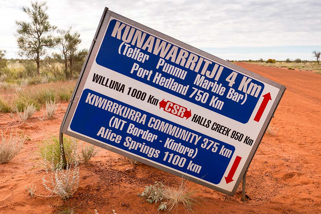
Image: Sign for Kunawarritji
South of Well 36 is where you really start to thank yourself for putting on that quality aftermarket suspension. This is where the corrugations go from being bad to downright atrocious. Now, I've got a little bit of experience with corrugations, having travelled to the Cape three times previously, but the CSR make the Cape corrugations pale into insignificance! These severe corrugations continued through to Well 10, where we then encountered a lot of mud and water over the track due to the winter rains. On the plus side, the corrugations did disappear. It's also a timely reminder to remember to make sure that you take a couple of spare shocks and rubbers for a trip like this; even more important than having the spares is knowing how to fit them!
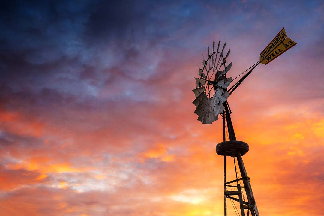
Image: Sunset and windmill at Well 33
Some 600km from Billiluna, you find yourself at Well 33 and the intersection of the Gary Highway, the Kidson Track and the CSR. This is also where you will find the Aboriginal community of Kunawarritji. Kunawarritji boasts a local store, basic accomodation and the only place on the CSR where you can get fuel (unless you have already organised a fuel drop at Well 23 at least two months prior!) Don't go expecting city prices here though.
Both diesel and unleaded (opal) was being pumped out at $3.40/L when we passed through. Make sure you fill those tanks up though, because you still have another 1000km to get to Wiluna! The camping area at Well 33 is wide, flat and open, with the best windmill on the stock route, and in my opinion the best water. I don't know why, but our arvo cuppas always seemed to taste better with our Well 33 water! Needless to say, we didn't use it to wash the dishes.
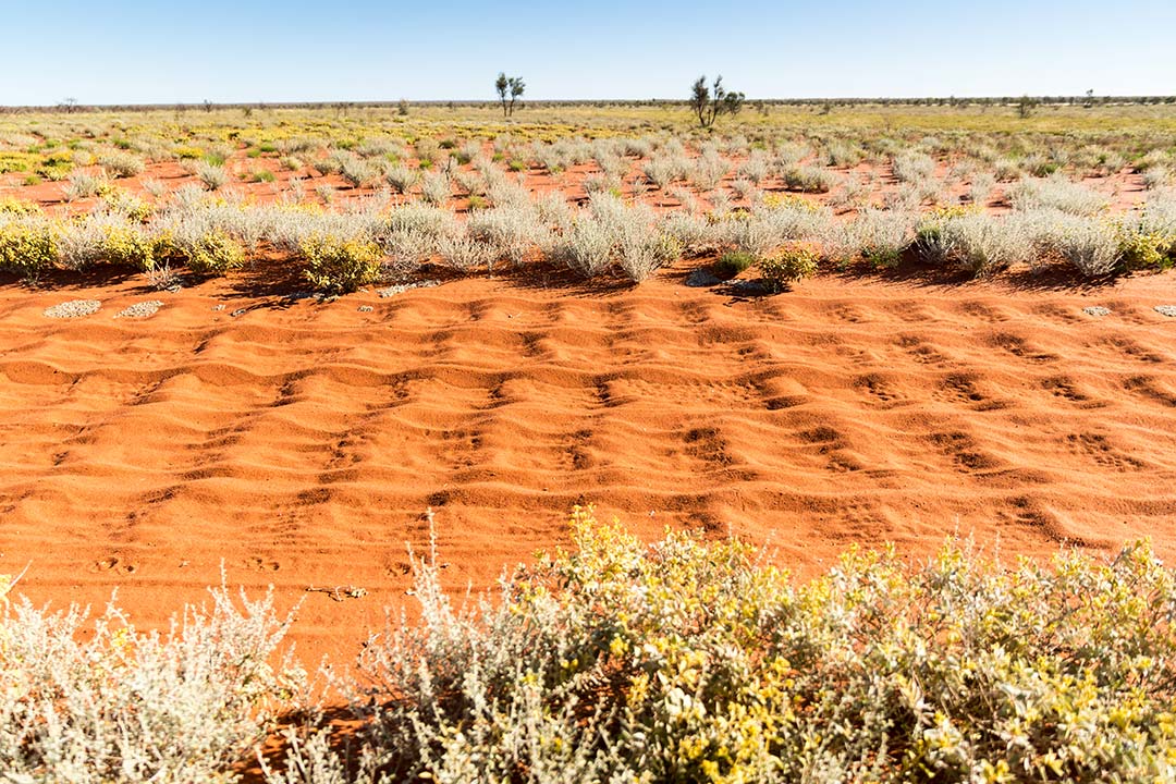
Image: The corrugations on the Canning Stock Route are brutal in their persistence
Continuing south, you pass through more dune and spinifex country, with the occasional large rocky outcrop dotting the desert landscape. The prevalence of restored wells also becomes more frequent south of Well 33, with some, like those at Well 26 and Georgia Bore even having composting toilets. A literal 'Oasis in the Desert' is what you will find at Well 6. A massive stand of Ghost Gums surrounds this camp area and restored well, and a stay underneath these shady giants is a rare experience on the CSR.
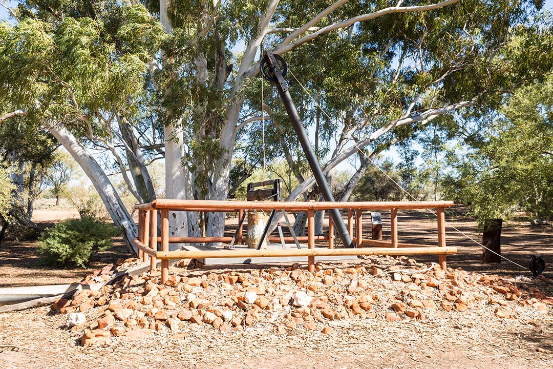
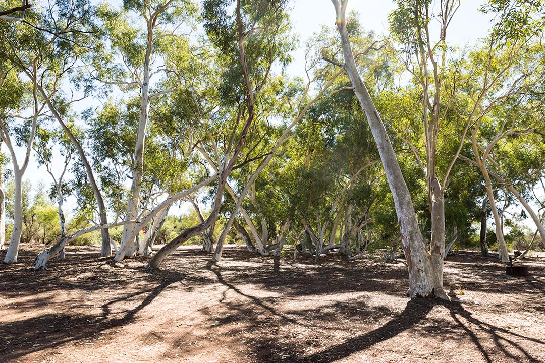
Images: Restored Well 6 (left) and camping under ghost gums at Well 6 (right)
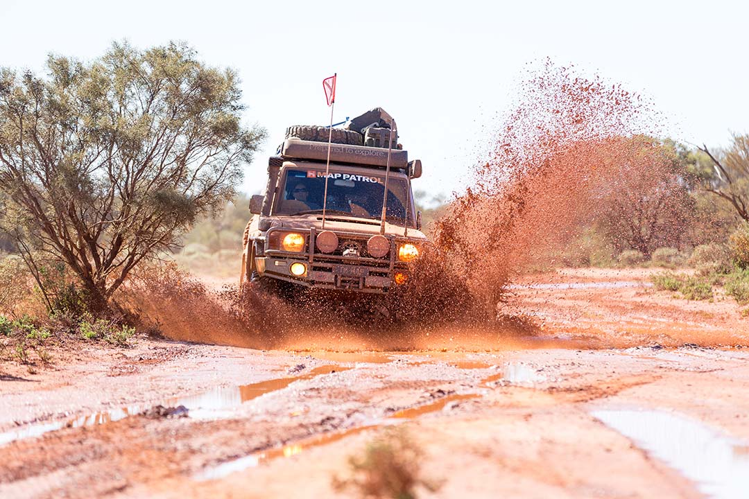
Image: Finding remnants of an outback storm along the Canning Stock Route
Just to the south of the restored Well 5, you enter the private property of Cunyu Station. There are a few rules for travelling across this property, and these are clearly spelt out on signs at the gate. For those travelling the CSR with trailers or excessively wide vehicles, Cunyu Station is a no-go area, along with any camping or night travel through the station. An alternate entry to the CSR at this point is through Granite Peak Station, and additional fees apply.
The landscape also begins to change through this section after Cunyu Station, with the spinifex and dunes making way for gibber plains and stunted shrubs. The track becomes rockier and more rutted compared to the sand and dirt that we had become so accustomed to.
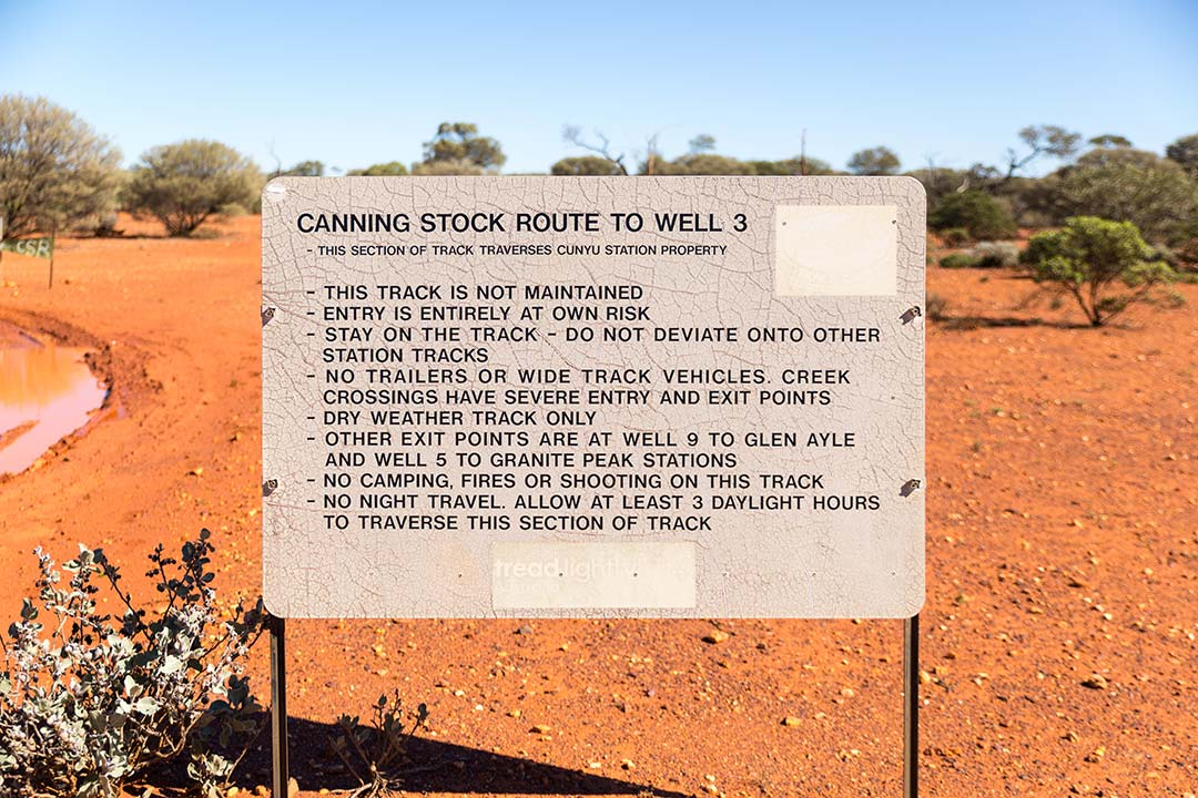
Image: Signage for Cunyu Station
Surprisingly, well to me anyway, the track ends rather abruptly not far after Well 2, when the CSR joins the Wiluna North Road. There's a couple of signs on the road congratulating you on your achievement of finishing the Canning Stock Route, so an obligatory selfie is definitely on the cards. It's also the place where you are likely to run in to other adventurers about to start their journey north.
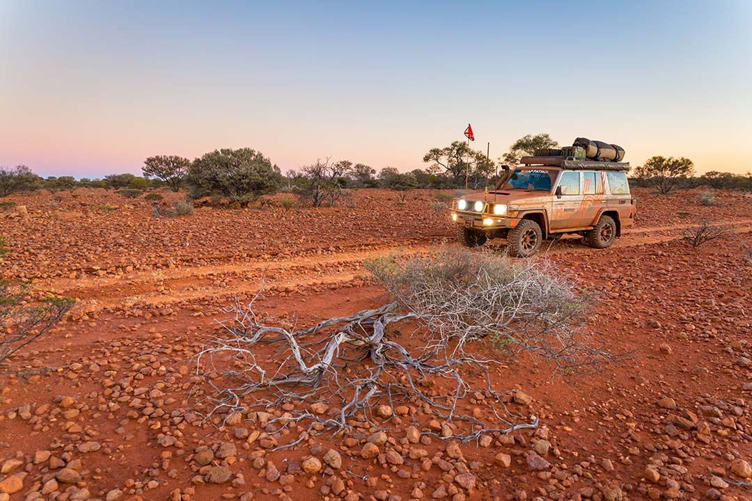 Image: Gibber plains south of Well 3
We spent time chatting, finding out where they had been and giving them the latest in track conditions and other tips for the CSR. For me, it was also the place where I started to feel pretty chuffed with what we had just accomplished over the past few weeks. It was like we had become part of some exclusive little club: The CSR Conquerors (or something to that effect)! The last 38km to Wiluna is easy going on a well maintained dirt road, which feels like you're on a German autobahn considering the track conditions from the previous few weeks!
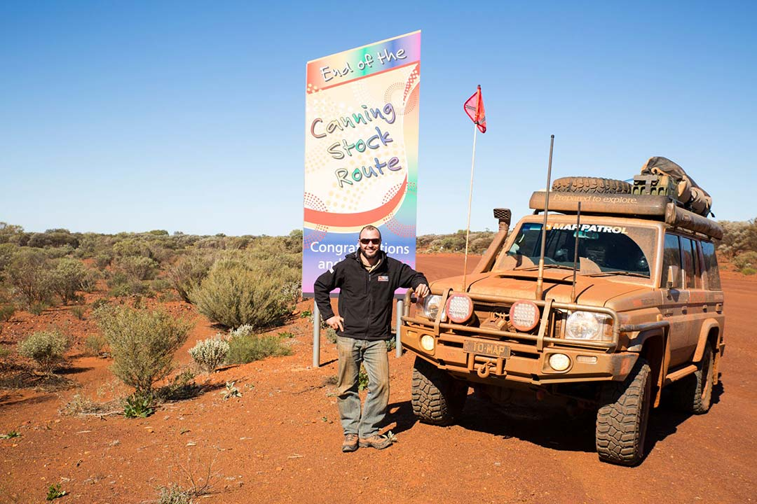
Image: The end of an epic adventure
In Wiluna, you can fill the tanks and top up the fridge at the well-stocked local store, where if you are desperate for something, suddenly paying $13.60 for a jar of Vegemite seems quite reasonable. There's also a pub in town where you can grab a cold beer from and decide exactly ‘Where to from here?’. We decided to head east along Wongawol Rd towards Carnegie Station and the Gunbarrel Highway, but that's another story for another day.


An excellent read, thank-you!
The pub in Wiluna has closed as of 2023 so now there’s nowhere in town to purchase alcohol. So don’t get your hopes up on that final approach (like we did)!
Having drunk the water from many wells in the area, I can say the water from Georgia Bore is also excellent and easy to extract via the hand pump.
Capricorn Roadhouse (near Newman) use to do the pre-arranged 200 litre drum fuel drops at Well 23 and (judging by the number of empty drums) Georgia Bore.
As a result of fuel been available from the Parnngurr and Kunawarritji Communities, the fuel drum drops are no longer available.
Enjoyable read, informative, filled in a few gaps, doing CSR last week of August from Halls Creek, Leaving Perth Third week approximately, we have two spare seats, Fuel paid for, permits paid for, you need swag, food, 4 vehicles, 1x 300 series, 1x Ford Ranger, 1x D Max 1x Prado, talk with person about your food,
Vegan, Vegetarian, Raw food in one vehicle.
Where would I put this , site moderator,
Well that was the best read it felt like I was out there on CSR , maybe one day I’ll get to do that epic trek THE MIGHTY CSR