Davies High Plains

This is an iconic 4WD trip through some of the best areas of the Victorian High Country on some of the most challenging tracks you will find anywhere.
Essential information
| Grading | High clearance and high range (some low range required); not suitable for towing. |
|---|---|
| Time | One long day |
| Distance | 130km, Thredbo to Benambra |
| Longest drive without fuel |
130km, Thredbo to Benambra; one-day endurance in heavy 4WD conditions required. |
| Best time of year | Summer or early autumn |
| Warnings | Tracks in this area are subject to closure between May and November. Any fires in nearby areas during summer will close this route as well. Check road closures and weather conditions before setting out. |
| Fire bans | Sections of Alpine National Park will be closed on Code Red (Catastrophic) days |
| Facilities | Benambra, Thredbo Village. |
| Important contacts | NSW National Parks and Wildlife Service Ph 13000 72757 Thredbo Information Centre Ph (02) 6459 4198 |
| Permits/fees | A daily fee is charged for all vehicles entering the Kosciuszko National Park, whether just driving through on a day's outing or camping. |
The Track
View on Hema Cloud | View Fullscreen Map
The trek begins on the Alpine Way just outside the trendy mountain village of Thredbo in Kosciuszko National Park. It winds south on the blacktop over Dead Horse Gap (the coldest place in Australia) then continues down the range passing the camping area of Leatherbarrel Creek.
About 19km from Thredbo you'll come to the turn-off to the Tom Groggin Rest Area and camping area just off the bitumen. The camping area here is huge with many pleasant camps close to the Murray River.
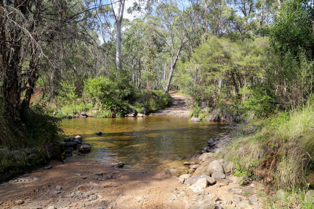
 Follow the track beyond the camping area where it dips down to the Murray River Ford, which is generally an easy crossing through the shallow water. It pays to check though before you plunge in, and to lock your hubs or centre diff!
Once on the southern bank, and in Victoria and the Alpine National Park, a track on the right leads 2km or so to Dogmans Hut and the Tom Groggin Track south to Benambra. Straight on is the Davies Plain Track and along here you'll soon come to the Buckwong Creek Camping Area. From here the track begins to climb and you'll be better off in low range as in places it is steep and rocky.
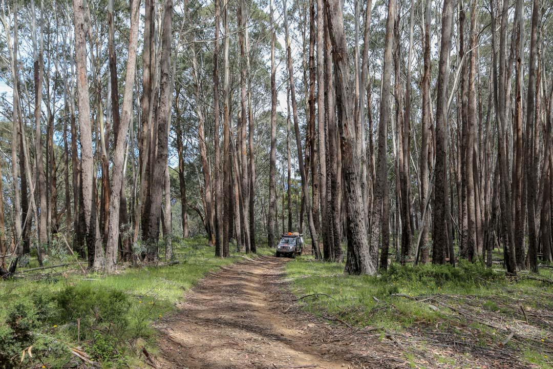
You pass through dense forest for most of the way, the area ravaged by wildfires in 2003; tall dead stages reach for the sky while higher along the track, dead snowgums crowd the route.
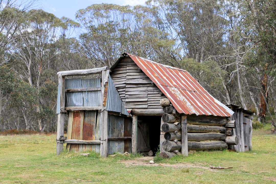
The track then comes into open snowplains and crosses delightful Davies Plain Creek before climbing the short distance to historic Davies Plain Hut (first built in 1892). There is a magical cleared area and you'll often see gang-gang cockatoos around here, while wild horses and deer are also a common sight.


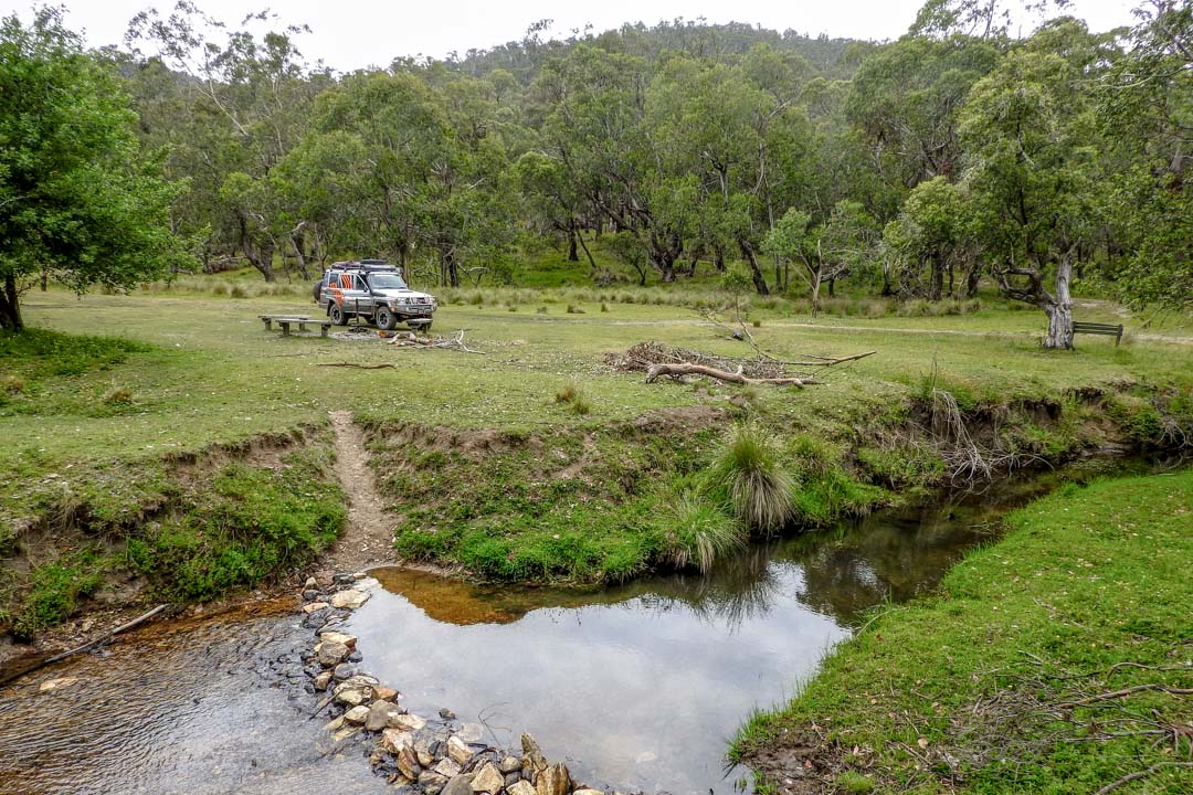
From the Hut the route dips and winds across mainly forested country before coming to Charlie Creek and its pleasant camping area. Please remain on the main track - if camping, be careful where you pull over as much of the area is boggy and once churned up will take years to recover.
South of Charlie Creek, at a set of cross tracks, turn left onto McCarthy's Track which drops steeply to the Limestone Creek Track. Here a short diversion will take you along a track to the small camping area of The Poplars which nestles beside the upper reaches of the Murray River.
Back at the Limestone Creek Track junction, turn south for what is a challenging and often steep and eroded drive. You'll cross Limestone Creek a couple of times where small cleared areas make for a reasonable camp, while a larger area just off the main route further south is a more pleasant camping spot. Just a little further south again you come to the signposted Limestone Creek Camping Area.
 Less steep country leads to the junction of the Limestone Road. Turning west here soon crosses Limestone Creek again and passes the ruins of the old Limestone Creek Hut. The route then winds and climbs and descends through mountain country on a good dirt


0 comments