Benambra to Tom Groggin
 The trek from Benambra to Tom Groggin goes through very steep 4WD-only country, so make sure you're properly equipped with our full track guide.
4WD Pack
Atlas & Guide
Paper Map
Hema HX-1 Navigator
| Grading | Low range and high clearance |
|---|---|
| Time | 1 day |
| Distance | 97km Benambra to Tom Groggin with Mount Pinnibar summit track |
| Longest drive without fuel |
159km Omeo to Thredbo, 137km return from Omeo via alternate track; one-day endurance in heavy 4WD conditions required |
| Fuel & supplies | Benambra (no fuel), Omeo, Thredbo Village |
| Best time of year | Summer |
| Warnings | The Mount Gibbo and Mount Pinnibar tracks are subject to closure between May and November. Check road closures and weather conditions before setting out. |
| Fire bans | Sections of Alpine National Park will be closed on Code Red (Catastrophic) days |
| Facilities | Benambra, Omeo, Thredbo Village |
| Important contacts | Omeo Region Information Centre Ph (03) 5159 1679 Thredbo Visitor Information Centre Ph (02) 6459 4100 |
| Activities | 4WD, Bushwalking, Fishing, Boating |
The Track
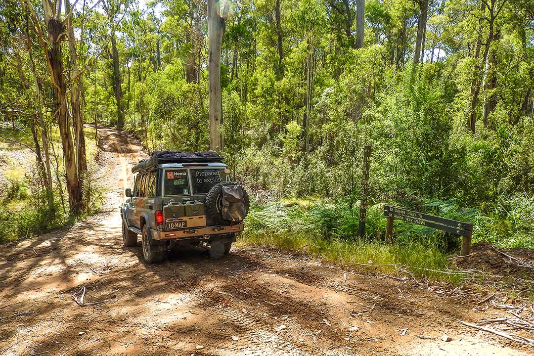
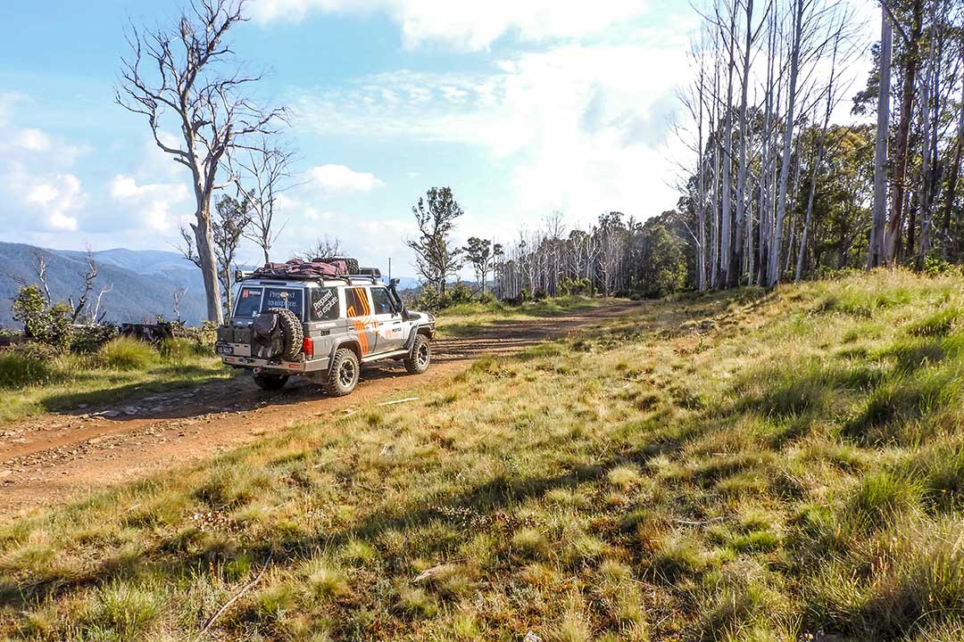
The journey over Mount Pinnibar begins at Benambra. Follow Beloka Road past MacFarlane Lookout to Buenba Road at the Mount Hope Road junction. Follow Buenba Road to Buenba Flat. Continue on to the east to Mount Gibbo Track. Climb past Mount Gibbo and Mount Anderson on the Mount Gibbo Track. At the next T-intersection, which is the Mount Pinnibar Track, you will find the summit a short drive to the west. There are stunning 360 degree views at the Mount Pinnibar summit.
 From here you have the opportunity to travel down to Tom Groggin, which is a very steep and stunning descent to several camping areas. Alternatively, you could head north via the Pinnibar Track, Dead Finish Track and Walkers Log Road to Corryong. Another alternative is to travel down the Shady Creek Upper Track and Wheelers Creek Logging Road to the Benambra Corryong Road for an easy return to Benambra.
Camping
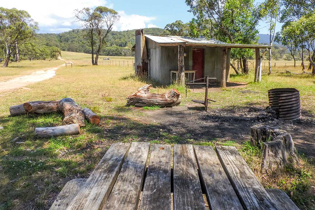
Buenba Flat camping area, Dogmans Hut, Tom Groggin
 Things to do
If you want to do a bushwalk, the Australian Alps Walking Track branches off from Buenba Flat. Just remember that some sections of this path are difficult. Stop by the Pendergast Lookout on your way up Beloka Road. Whether just for a pit stop or to stay and play, Thredbo Village, just over the border in New South Wales, is 19km from Tom Groggin and offers facilities year-round.
The Real 'Man From Snowy River'
Locals in this area have it that Tom Groggin is where the legend of the Man from Snowy River was created. Jack Riley, the stockman that many say served as the inspiration for Banjo Patterson's famous poem, lived and worked on Tom Groggin Station. Jack Riley migrated to the High Country in 1851 at the age of just 13. At first he worked as a tailor near Corryong, but soon discovered his calling as a gifted stockman.
 He lived in virtual isolation in the elevated beauty of the land around Tom Groggin, becoming a part of the landscape itself. It is said he and Banjo Patterson were introduced while on a camping trip with a mutual friend. They tramped through the Snowys and the Kosciuszko telling stories and sleeping under the stars. Brumbies, the wild bush horses that the mountain man rides with in Patterson's poem, still roam the hills there.


0 comments