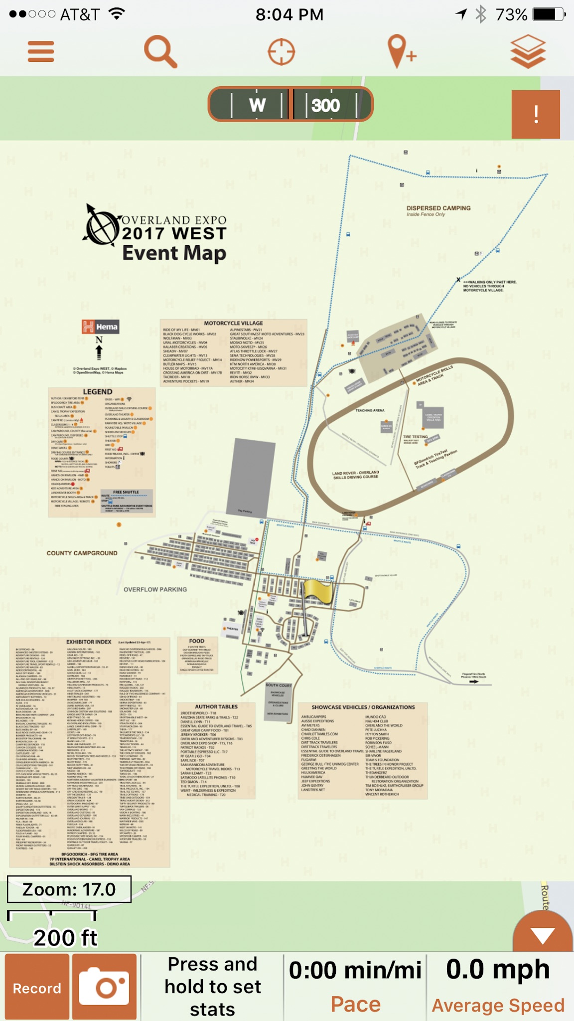
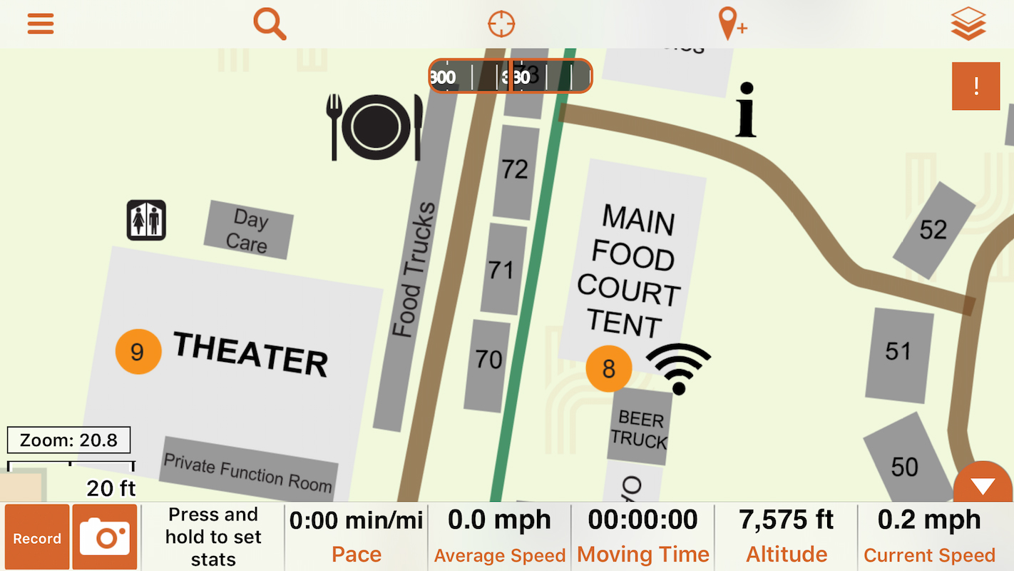
Hema Explorer Overland Expo WEST Map
 Overland Expo is the USA's leading overlanding event, bringing together passionate explorers from all over the world for a weekend of off-road fun. This year's event, which will be held in Fort Tuthill County Park from May 12-14, will feature over 250 camping, overland, vehicle and moto exhibitors in addition to classes, demonstrations, food stalls and much more in one location.
To help visitors to the expo find their way around, Hema has produced a digital map of the show, which users of our Hema Explorer North America app (available for iOS and Android smartphones and tablets) can download and view within their copy of the app.
Downloading the map
To download the map to your Hema Explorer app, simply click the link below using the mobile device on which you have Hema Explorer:
After you click on the link, the map will be added to your available map layers.


Download the event map for the Avenza Maps app
Users of the Avenza Maps app can download the GeoTIFF file to their copy of the app by using the instructions below:
1. Copy this link on your mobile device: http://hema.li/expo17wtiff
2. Open Avenza Maps.
3. Within the Maps List, tap the + icon at the top of the screen.
4. In the From the Web box, paste the copied link.
5. Once the map is downloaded and processed (which may take a few minutes), it will be ready to use when you get to the event!
Be sure to find us at Overland Expo WEST 2017 at the Overland Journal booth (#13), and share your adventures before, during and after the event on our public trail database, the Hema Explorer Cloud.


0 comments