


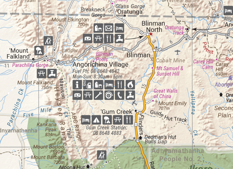
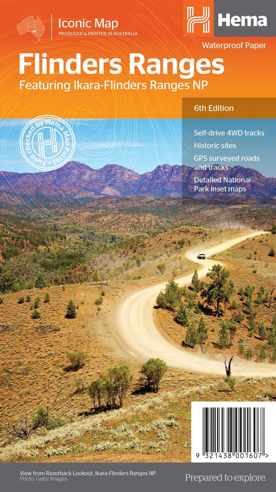
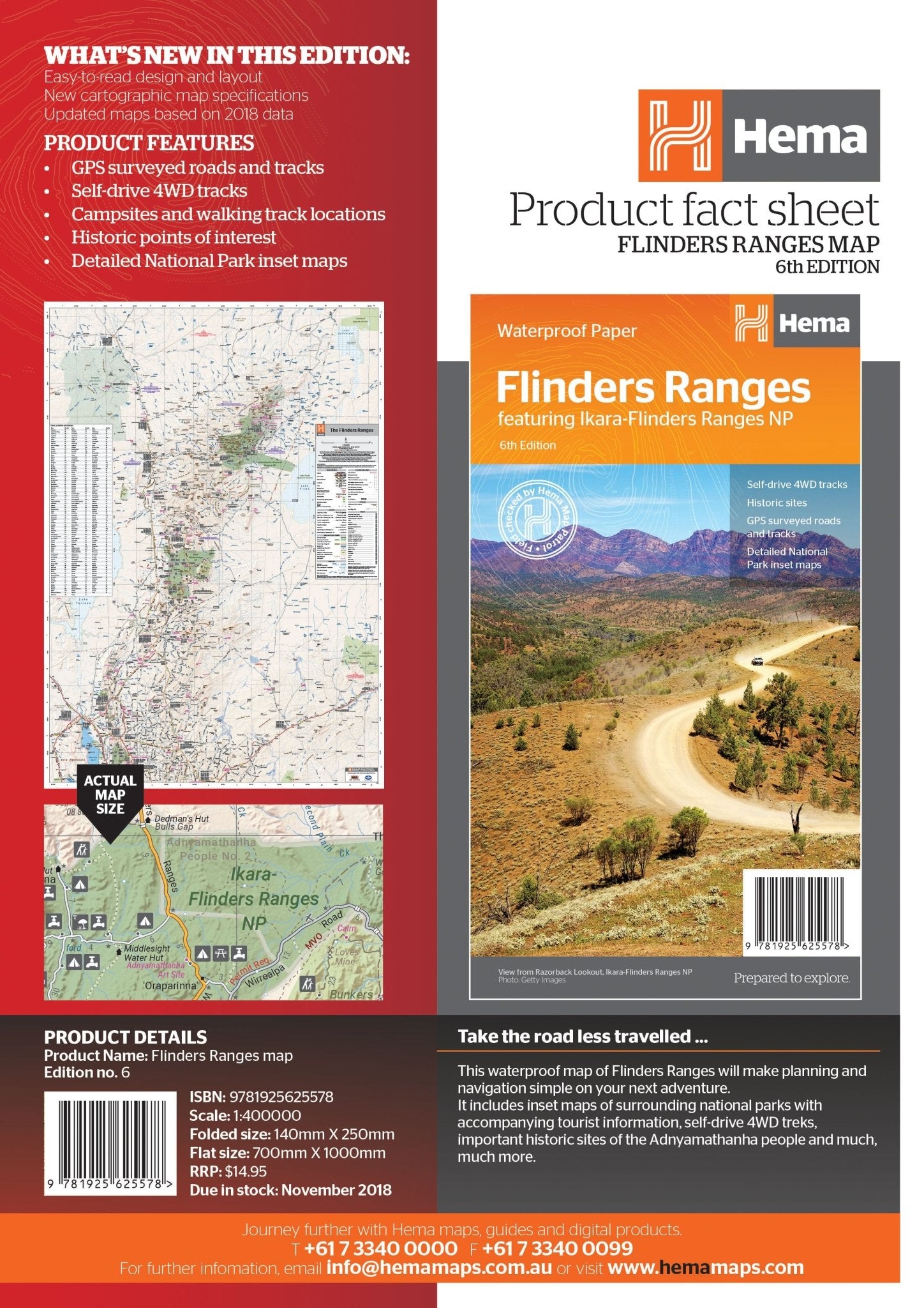
Flinders Ranges Map
This waterproof map of South Australia's Flinders Ranges includes inset national park maps and visitor information on the spectacular Flinders Ranges and Vulkathunha-Gammon Ranges, including information on the history and traditions of the Adnyamathanha people — making trip planning and navigation simple. Accompanying tourist information includes self-drive 4WD treks, historic sites and contact details listed for national parks and reserves.
Key Features
• GPS surveyed roads and tracks
• Self-drive 4WD tracks
• Camping, bush camping, walking tracks
• Historic sites
• Detailed National Park inset maps
Key Specifications
Edition: 6th
Publication Date: 1/11/18
Scale: 1:400,000
Folded size (WxHxD): 140mm x 250mm x 3mm
Flat size (WxH): 700mm x 1000mm
Weight: 0.09kgs
You may also like...


New South Wales State Map
- Regular Price
- $15.95
- Sale Price
- $15.95
- Regular Price
-
$15.95 - Unit Price
- Translation missing: en.general.accessibility.unit_price_separator


South Australia State Map
- Regular Price
- $15.95
- Sale Price
- $15.95
- Regular Price
-
$15.95 - Unit Price
- Translation missing: en.general.accessibility.unit_price_separator


Victoria State Map
- Regular Price
- $15.95
- Sale Price
- $15.95
- Regular Price
-
$15.95 - Unit Price
- Translation missing: en.general.accessibility.unit_price_separator


Australia Large Map
- Regular Price
- $15.95
- Sale Price
- $15.95
- Regular Price
-
$15.95 - Unit Price
- Translation missing: en.general.accessibility.unit_price_separator


Western Australia State Map
- Regular Price
- $15.95
- Sale Price
- $15.95
- Regular Price
-
$15.95 - Unit Price
- Translation missing: en.general.accessibility.unit_price_separator
Related Articles


Binns Track, Northern Territory — Part one
You know a track is special when it still feels wild, even after thousands of...


SA’s Flinders Ranges joins Lonely Planet’s top list for 2026 — Part two
In part one of our feature, we shared the news that South Australia’s Ikara–Flinders Ranges...


Across Australia’s heart — Driving the Great Central Road from Uluru to Laverton
Drive the Great Central Road — an unforgettable outback journey from Uluru to Laverton through...