


There are plenty of surprises to be found on this South-East Gippsland adventure
It’s one of those iconic destinations that overlanders love and getting there is part of the adventure. The historic McKillops Bridge sits high above the Snowy River and is part of the rugged and remote section of the Snowy River National Park.
From Orbost, follow the signs onto the Snowy River Country Trail and wind your window down to experience the smells and sounds of this native forest. Ironbark and Redwood tower above and the cicadas sing joyfully. Tree ferns the creeks and birds flap hurriedly in front of you; magpies, kookaburras and the cover occasional Yellow-Tailed Black Cockatoo.
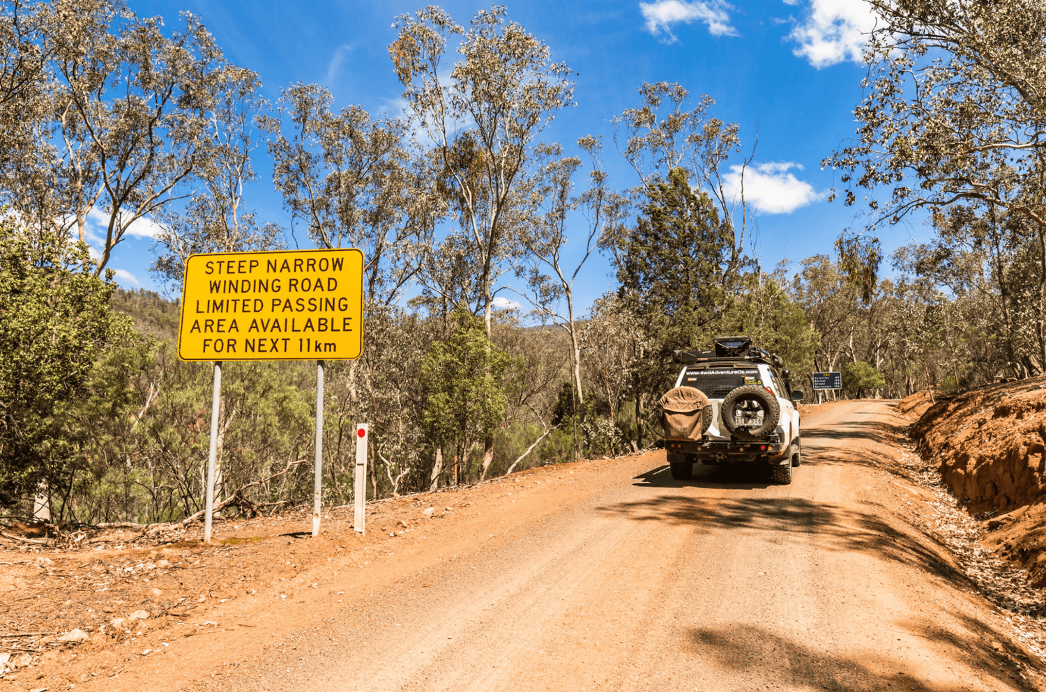
There are many blind turns so tune your UHF to channel 40 as this is logging country and you will cross paths with these behemoths. The bitumen turns to gravel briefly, until you reach Bonang, but once past this tiny hamlet, it’s dirt again and the track gets narrower.
Following the Deddick River from Bonang via McKillops Road, take time to check out the Ambyne Suspension Bridge. Designed and built by the Country Roads Board (CRB), it was in service from 1935 to 1970, before being closed to traffic. After falling into disrepair, restoration works were carried out in 1999 and 2004. The historical and scientific significance is due to its uniqueness as a CRB vehicular suspension bridge.
You’ll soon reach the historic McKillops Bridge. George McKillops used this site as a stock crossing from 1835 as he moved his cattle from the Monaro district of New South Wales to Lake Omeo in Victoria. A turnback ferry was later used before the bridge construction between 1931-36.
The height was raised after the original bridge was washed away in the record floods of 1934. McKillops Bridge was once claimed to be the longest arc-welded steel truss road bridge in the world and is now classified by the National Trust as a structure of ‘Cultural Heritage Significance’.
Allow a good four hours to reach McKillops Bridge from Orbost, it’s also a great place for experienced adventurers to launch canoes and explore the gorges downstream. There are also several walking trails, including the Silver Mine Walking Trail.
The campground is basic with drop toilets, picnic tables and fireplaces (although fuel stoves are preferred). There is little in the way of flat spots, but at least the sites are well dispersed. Do take care when camping under the trees, a large limb fell metres away from me on my last visit.
The drive out from the campground side is precarious yet jaw-dropping as you climb up the mountain. The views of the Snowy River down in the valley are spectacular, yet there are few places to stop and take it all in. Some sections of this track are thin, and it can be hairy if you meet another vehicle coming from the opposite direction.
There are two great spots to check out though: Little River Gorge and Little River Falls. A short drive off McKillops Road leads to a car park before a short walk down to the viewing platform atop Little River Gorge. The gorge has been carved out over millions of years by the Little River and is 4km long and 500 metres deep, making it Victoria’s deepest gorge. If you’re lucky, during wet conditions, you may witness Wulgulmerang Creek plunging 300 metres to the valley floor from the chasm opposite the lookout.
Not far from the gorge turnoff is the carpark and picnic area at Little River Falls. Don’t be fooled by the small falls here, cross the bridge and follow the walking trail down to the main falls where you’ll see the water cascading 31 metres down the rockface.
On the final stretch, once across the cattle grid, you’re no longer in the Snowy River National Park, and you’ll meander through beautiful cattle country before reaching the T-Junction. From here you have two choices on which way to turn to begin another adventure. Turning right will lead you to Jindabyne via the Barry Way or turning left will take you to the hidden wonders at Buchan.
Where once a shallow sea covered the lands, the geology of Buchan is predominantly limestone that formed almost 400 million years ago. When the earth’s crust was thrust high above sea level the limestone caves were formed. The formations found within the Buchan Caves are between 1 and 10 million years old.
The Buchan Caves Reserve is jointly managed by Parks Victoria and members of the Gunaikurnai nation, who are the traditional owners that used Buchan as a significant meeting point when they travelled from the sea to the mountains.
The caves were first discovered in 1907 when Frank Moon found a small hole emitting a cool breeze while searching for caves on behalf of the Victorian Government. Using dynamite, he blasted a larger hole before descending into the darkness using a rope. Frank was gobsmacked by what he found, the most amazing wonders of the Fairy Cave.
Frederick Wilson, an experienced cave manager, was lured from the Jenolan Caves in NSW and he immediately installed paths, ladders, protective fencing and handrails into the Fairy Cave, the same ones you see today. The first tourists were invited to explore the Buchan Caves in 1917.
When Fred Moon later discovered the Blackwood Chamber, a tunnel was eventually dug using wedges to split the granite instead of dynamite so that the Blackwood Chamber was linked to the rest of the Fairy Cave and created a one-way walkway for tourists.
The only way to explore the caves is on a guided tour through the Royal and Fairy Caves and these are conducted daily. You can purchase tickets directly from the Visitors Centre; however, it’s recommended that you pre-purchase tickets online so that you won’t be left disappointed. The tours can get very busy, especially on long weekends and during school holidays. You can choose to tour a single cave or the one I recommend is a double cave tour as each cave is different and the double tour provides the best Buchan experience.


