


Hema Maps is a proudly Australian digital mapping and publishing company, and this year we’re celebrating 40 years of exploration. That’s right, since 1983 we have been providing Aussies with maps, atlases, guides and digital navigation products.
Hema Maps was created by founders HEnry and MArgaret Boegheim in 1983, taking the first two letters of each of their names to create the now iconic brand. Henry and Margaret established Hema out of a love for the spirit of adventure and taking the road less travelled, wanting to provide accurate and up-to-date mapping information for all outdoor enthusiasts.

1998-2000 Simpson Desert
Since 1989, when Hema completed its first Simpson Desert expedition, the company has purposefully expanded to the point where today, in 2023, Hema has the largest private offroad mapping and point of interest database in Australia. Combined with overseas map coverage, this core data is reproduced in a variety of forms including folded and wall maps, on and offroad atlases, touring and how-to guides and our industry-leading digital suite including apps and dedicated GPS and in-dash systems.
With a keen focus on offroad touring, we’ve steadily built our reputation as masterful map makers in the four-wheel driving, outdoor adventure and touring industries and happily celebrate our 40th birthday in 2023. The desire to create accurate and up-to-date maps has grown from a genuine interest in and love of the great Aussie outdoors, and company Chairman Sam Hayward comments on this passion, “There’s nothing we love more than going down a road that we haven’t been down before and then mapping out that information for others to explore.”

Sam Hayward
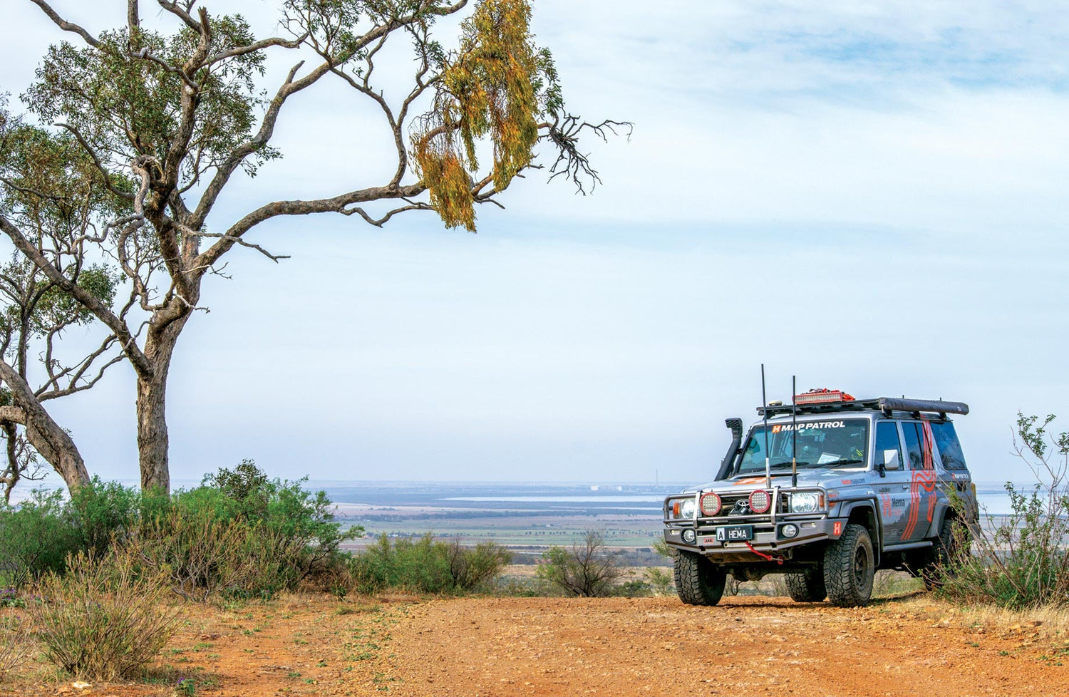
21 years of Map Patrol
Much of the base information included in Hema’s early 4WD maps was derived from topographic maps produced by federal and state governments. However, many of these maps were out of date and no longer accurate and Hema did not want to produce maps of Australia’s vast centre until it could be sure of the status of the tracks shown on its maps.
The idea was born to fit out an expedition vehicle to drive all the outback tracks and accurately record their geographic location. This was a huge endeavour for a small company and involved a major program to train staff in four-wheel driving, vehicle recovery, navigation and first aid.
The first job was passing through all the roads and tracks contained in Hema’s Great Desert Tracks maps and from this, the Hema Map Patrol was born. The Map Patrol is a dedicated team of professionals who ensure the renewal of accurate maps, providing fellow explorers with both peace of mind and valuable tips.
Now, in 2023, the Map Patrol is celebrating 21 years and continues to collect data nationwide so you can tour comfortably and with reliable maps. The Map Patrol continues to find tracks that are incorrectly recorded, turn out to be overgrown, washed out, impassable or simply no longer there. They take this job very seriously and physically sight all recorded roads and points of interest.

Hema Map Patrol VIC High Country
The future
Since 1996, Hema Maps has GPS mapped more than 700,000km of tracks and 600,00km of unsealed roads throughout Australia. We hope you continue to support and enjoy our products and services for many more years to come, allowing us to maintain our position as Australia’s preeminent supplier of trusted and verified maps, atlases and guides and navigators.
Click here to check out our full range of products and to learn more about what we offer, including tag-along tours through remote areas of Australia. Oh, and earlier this month we published the first edition of the K’gari (Fraser Island) and the Brisbane Islands Atlas & Guide, available for purchase here.
Next steps
At Hema Maps, we strive to provide the most comprehensive and accurate maps and guides for outdoor enthusiasts looking to explore Australia's natural wonders.
Did you find this information useful? If so, please share it with your fellow explorers. Whether it's by SMS, social media, or email, your friends and fellow adventurers will appreciate the valuable tips and insights we've shared.
Let's work together to make the most of every adventure.


