


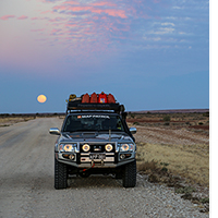
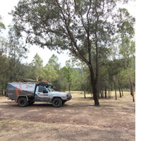
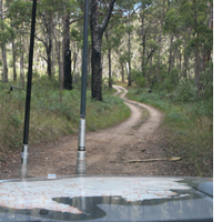
The Map Patrol experiences the best 4WD trips in Australia to do their job of updating the Hema mapping database. Get some inspiration for your next adventure by viewing some of the Map Patrol's recent trips online.
These trips were recorded with our Hema Explorer app during mapping expeditions in various regions of Australia. You can download any of these tracks complete with photos and notes to your own smartphone or tablet with a Hema Explorer Cloud account and your own copy of Hema Explorer for iOS and Android.
Learn about the Hema Explorer Cloud Learn more about the Hema Explorer app
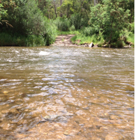
Simpson Desert
These tracks were recorded during the Map Patrol's July 2014 Simpson Desert expedition. Get a virtual tour of the Simpson Desert with interactive track logs, geo-tagged photos and notes from the trip, and plan your next Simpson Desert adventure with our Great Desert Tracks Atlas & Guide.
 Charleville to Birdsville
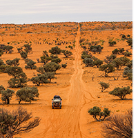 QAA Line
 K1 Line to Poeppel Corner
 French Line
 Dalhousie to Birdsville
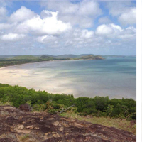
Cape York
Get a virtual tour of Cape York's best off-road tracks and destinations with track recordings, geo-tagged photos and summaries from their 2014 expedition. More information for each trip and region can be found in Hema's Cape York Atlas & Guide.
 Bamaga to Pajinka
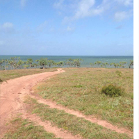 Bamaga to Somerset
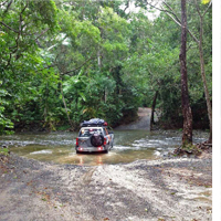 Bloomfield Track
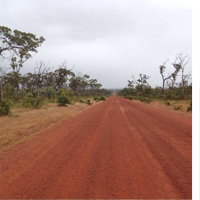 Bramwell to Bamaga
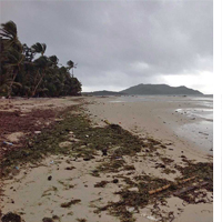 Chili Beach to Archer River
 Lakeland to Bramwell
 Laura to Kalpowar
 Musgrave to Marina Plains
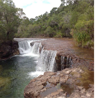 Old Telegraph Track North
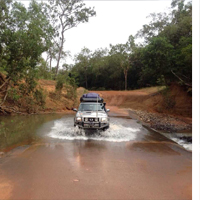 Peninsula Developmental Rd
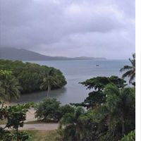 Portland Roads
South East Queensland
These tracks were recorded while the Map Patrol drove some of the best off-road trips close to Brisbane. More information for each trip and region can be found in Hema's 4WD + Camping Escapes - South East Queensland atlas and guide.
 >Benarkin State Forest
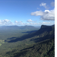 Border Ranges
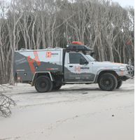 Bribie Island
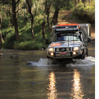 Condamine Gorge
 Conondale NP
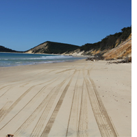 Cooloola Rec. Area
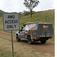 Duck Creek Road
 Fraser Island Beach Run
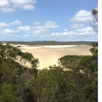 Fraser Island Northern Forests
 Girraween NP
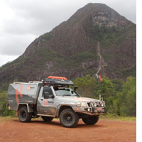 Glasshouse Mountains
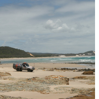 Moreton Island North
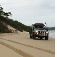 Moreton Island South
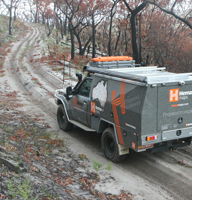 North Stradbroke Island
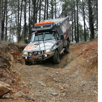 Sundown NP
High Country Victoria
More information for each of these trips and regions can be found in Hema's Victoria High Country Atlas & Guide.
 Dogs Grave
 Eldorado
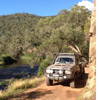 Grant Historic Mining Area
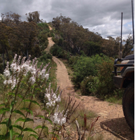 Mt Terrible
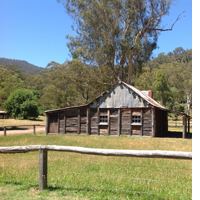 Sheepyard Flat - Jamieson
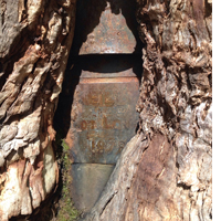 Stringy Bark Creek
Learn about the Hema Explorer Cloud Learn more about the Hema Explorer app


