Australia's most trusted travel guide Available for pre-order
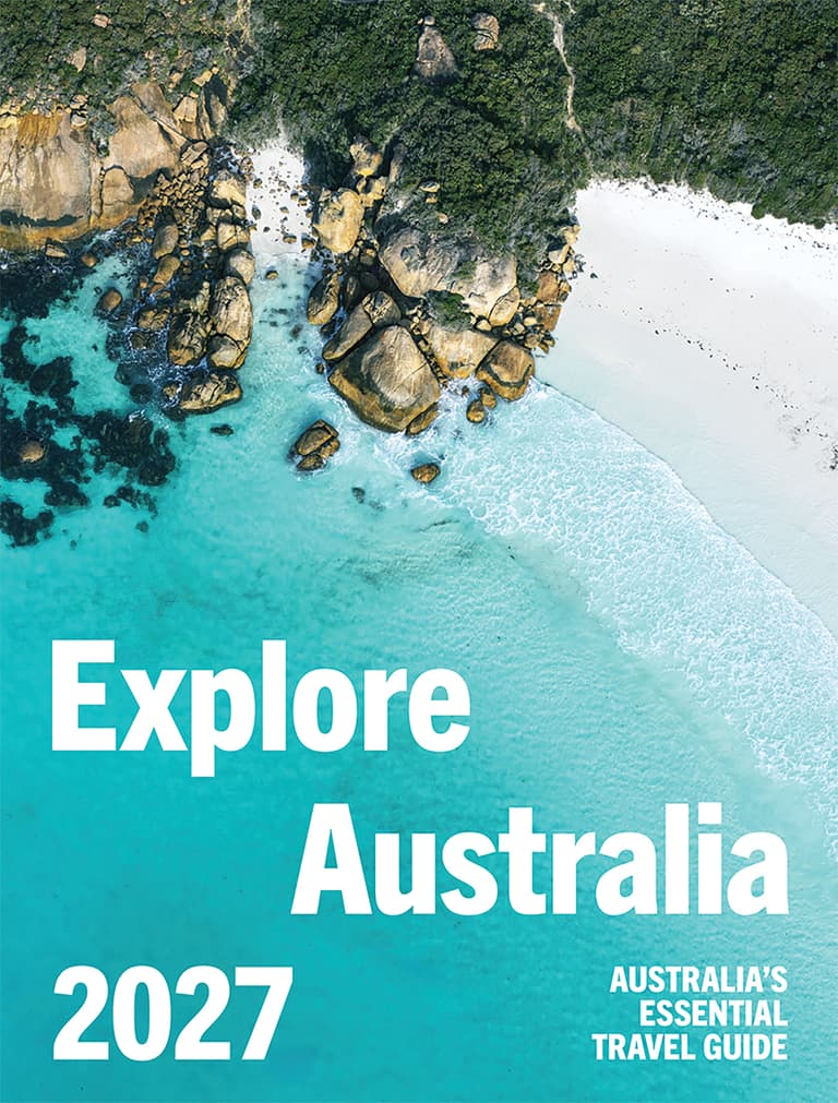
Pre-Order Now
Ships 28th July 2026
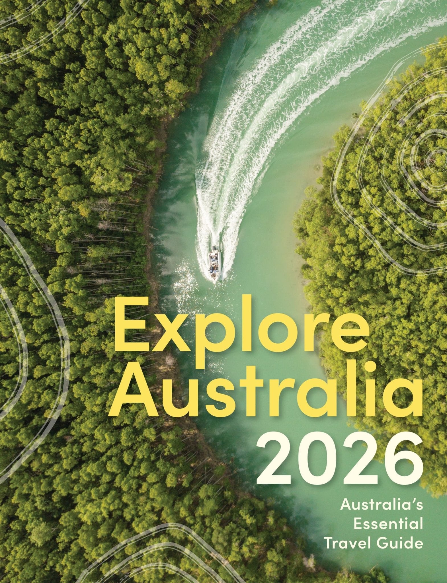
Explore Australia 2027 is the 43rd edition of the country’s longest-running and most-trusted travel guide. Plan your next Aussie adventure with this easy-to-use and comprehensive guidebook.
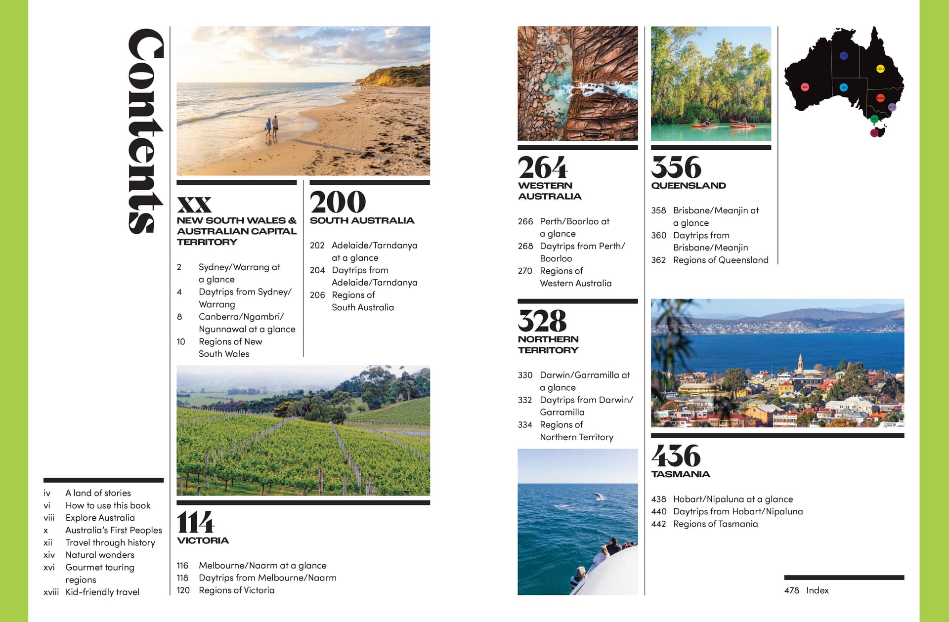
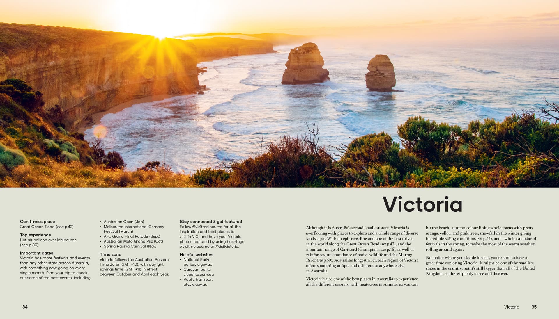
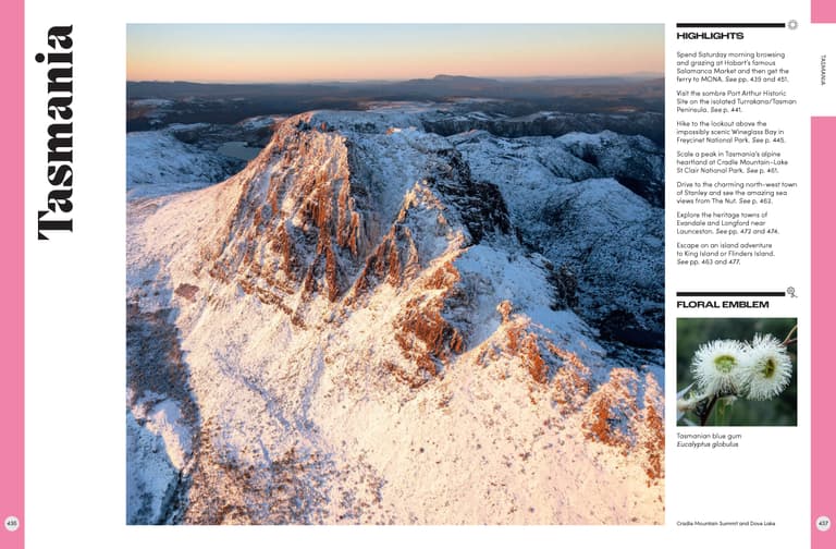
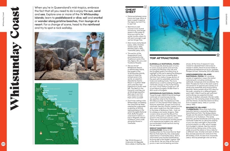
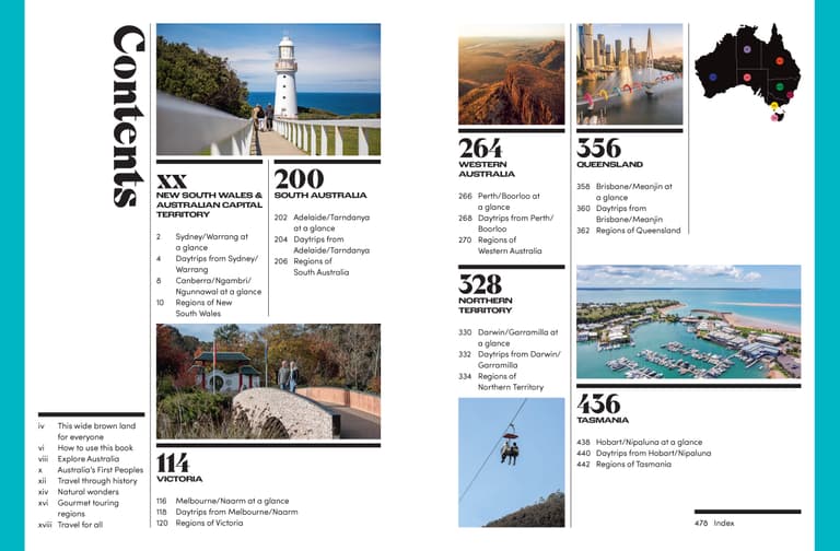
Explore Australia 2027 features entries from more than 700 destinations across the country – from big cities to rural towns and coastal getaways. Each entry includes a summary of the best things to see and do, a handy map to make itinerary planning easy and a snapshot of major festivals and events.
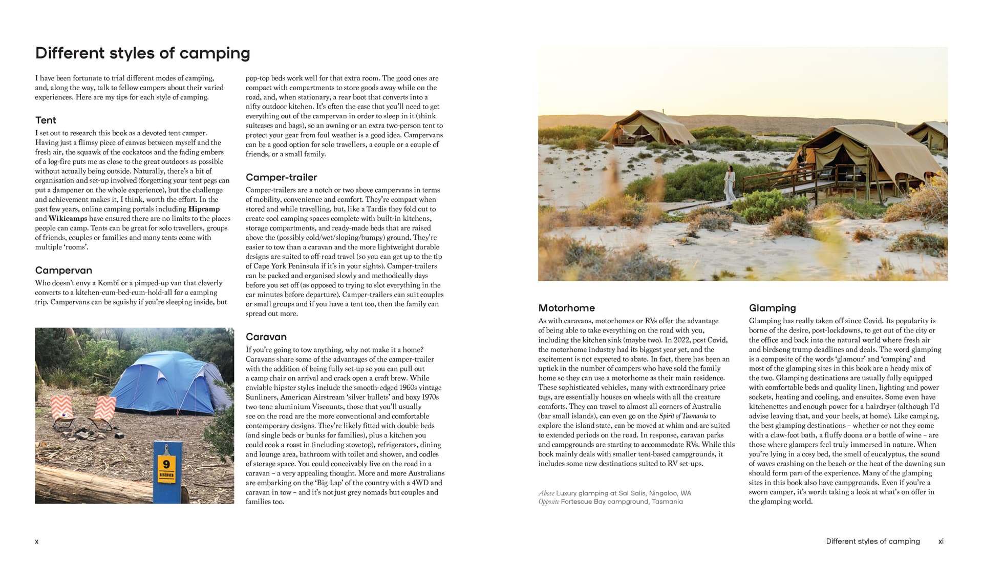
The useful information is accompanied by stunning photography, providing a look at some of Australia’s most picturesque travel destinations. You can also find information on Australia’s First Peoples, the best food and wine locations, and the country’s top natural wonders.
Whether you’re a solo explorer, a road-tripping family, or a couple looking for a getaway, Explore Australia 2027 is the perfect guide to Australian travel.
Hardie Grant Explore