Rinyirru (Lakefield) National Park
Home to vast floodplains and wetlands that are teeming with bird and marine life, Rinyirru (Lakefield) National Park is an idyllic camping and off-road destination.
Essential information
| Grading | AWD; suitable for towing camper trailers. |
|---|---|
| Time | Minimum two days |
| Distance | 277km, Cooktown to Musgrave Roadhouse |
| Longest drive without fuel |
243km, Endeavour Falls Tourist Park to Musgrave Roadhouse |
| Best time of year | Dry Season (May – October). South of the Lakefield ranger base generally reopens 1 May, with the rest of the park reopening 1 June. These dates may vary depending on weather and road conditions and camping areas and roads may also be closed after heavy rain. |
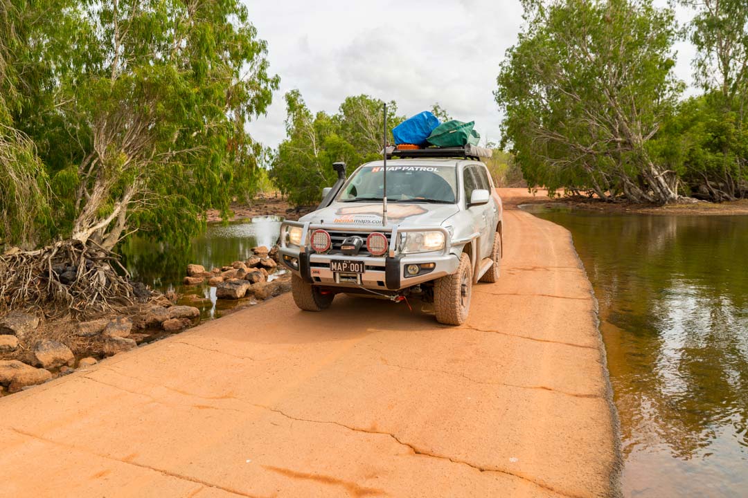
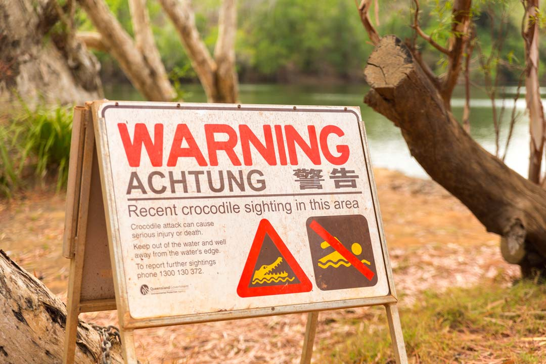
| Warnings | Creeks can be deep early in the dry season - always check the latest conditions before leaving Cooktown. Crocodiles occur in all rivers, creeks, swamps, wetlands and waterholes, as well as along beaches so always be very watchful. Gas or fuel stoves are preferred. No bins provided so take all rubbish with you. |
| Permits and fees | To access Elim Beach stop at the Hope Vale Service Station for a map and permit. |
| Facilities | Cooktown, Endeavour Falls Tourist Park, Laura, Musgrave Roadhouse |
| Camping |
Hanns Crossing Campsites, Kalpowar Crossing. Southern Camping Areas 12 Mile Waterhole Campsite Central Camping Areas Annie River Camping Area |
| Important contacts |
QPWS Cairns Ph 07 4222 5303, www.npsr.qld.gov.au/parks/rinyirru-lakefield/ Cook Shire Council website has road updates too: Ph 07 4069 5444, www.cook.qld.gov.au/services/roads |
The track
 Heading out of Cooktown, the sealed road meanders parallel with the Endeavour River before becoming a well-graded gravel road. The Endeavour Falls Tourist Park is the last fuel stop before Musgrave Roadhouse. From the turnoff for Battle Camp Rd, the road is sealed for some distance before dropping back to graded dirt.
From the Old Laura Homestead the track heads north past numerous campgrounds toward New Laura, where there is a ranger station. Mobiles - at least Telstra ones - work in this particular spot too.
The track follows first the Laura River then the Normanby River, if you take the right fork at Lakefield to Kalpowar and beyond to Cape Melville. If you take the left fork it follows the Kennedy River. The left track heads into the heart of Rinyirru (Lakefield) National Park, past lily lagoons and Hann Crossing: a massive campground with plenty of waterfront camping.
 Several more bush campsites are located off the track until the Park border, just east of Lotusbird Lodge. From here it is an easy run out to Musgrave Roadhouse on the Peninsula Developmental Road, although you need to watch out for the bulldust patches.
Things to do
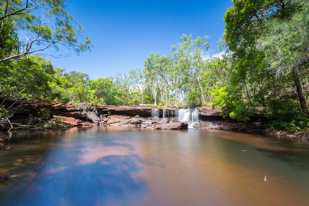
Isabella Falls, along Battlecamp Rd, is a popular stopping point, and an easy crossing with a causeway. You can walk to the base of the gentle cascade.
There are a myriad of campsites to choose from in Rinyirru (Lakefield), all must be booked early to beat the crowds, and all of them are near water.
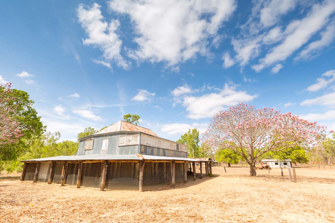
Old Laura Homestead is a great window into the pastoral history of this part of the Cape, with its surviving station buildings and information boards.
 Rinyirru National Park history
Nine different Aboriginal clans, made up of at least 75 key family groups, occupied this area prior to European settlement. The landscape has major Aboriginal cultural significance and features many occupation, ceremonial and story places.
Early explorers, geologists and surveyors, including Kennedy, Hann, Mulligan, Logan Jack, Bradford and Embley, traversed parts of what is now Rinyirru (Lakefield) National Park in the mid to late 1800s.
Hann Crossing is named after the explorer William Hann, who was employed by the Queensland Government to explore Cape York Peninsula in 1872. He had with him a geologist, Norman Taylor, and they found a little gold in the sandy bed of the Palmer River. The find attracted the attention of James Venture Mulligan, an experienced prospector, who followed Hann’s footsteps and struck it rich. The Palmer Gold Rush began in 1873.

Laura Homestead is historically significant through its association with the establishment of the cattle industry on Cape York Peninsula. The breed initially was polled (genetically dehorned) Hereford crosses, later crossed with Brahmin for better tick resistance. Throughout 2015 and 2016 more than 5000 unbranded cattle were rounded up and removed from the Park.
In 1978, Lakefield and Laura stations were purchased by the Queensland Government to establish Rinyirru (Lakefield) National Park. In 1984, QPWS commissioned the National Trust of Queensland to assess the cultural significance of Laura Homestead and a restoration project was launched in 1986. Volunteers began reconstruction of the homestead and outbuildings and, after several months of hard work, the buildings were restored. They're well worth seeing.
Battlecamp Road
The Battlecamp Road is a scenic route that links Laura, Rinyirru (Lakefield) National Park and Cooktown. In the west it joins the Peninsula Developmental Rd 2km north of Laura, while at its eastern end it joins the Hope Vale Rd about 37km northwest of Cooktown. Before the Normanby River crossing it heads east across flat country before wending its way up and over the escarpments of the Great Dividing Range.
Battlecamp Rd gets its name from an 1870s skirmish between an estimated 500 Aboriginal warriors and a well-armed force of 130 diggers and police who had camped for the night on their way to the Palmer River goldfield. For the Aborigines it was a bloody lesson in the superiority of repeating rifles over Stone Age weaponry. Never again did they attempt a massed frontal assault as a means of ridding themselves of the invaders, instead opting for guerrilla tactics.


0 comments