Australia
Border Update -
|
Open to International Visitors |
|
For more information refer to: https://www.health.gov.au/news/health-alerts/novel-coronavirus-2019-ncov-health-alert/coronavirus-covid-19-restrictions/coronavirus-covid-19-advice-for-international-travellers
La Niña -
The Bureau's ENSO Outlook has been raised to La Niña ALERT. This is due to both renewed cooling in the tropical Pacific Ocean as well as climate models indicating La Niña is likely during the austral spring and early summer. - Issued 16th August, 2022
La Niña is a recurring event in our weather cycle, not to be confused with the warmer El Niño, that operates over periods of one to eight years. It manifests when strong equatorial trade winds change ocean currents, drawing cool water up to the surface in parts of the Pacific Ocean, resulting in a pile up of warm surface water east of Australia. This leads to a boost in convection that has a pronounced effect on the global climate.
Every La Niña event is different, but according to the BOM this time Australia is likely to see:
- More rainfall in Eastern, Central, and Northern Australia
- Decreased daytime temperatures south of the tropics
- More tropical cyclones
- Increased chance of widespread flooding
- Longer, less intense heat waves in south east of Australia
- Earlier First Rains across Northern Australia
- Less risk of fires in areas that receive more rainfall
Northern Territory
Border Update -
|
Interstate nRestrictions |
|
|
Internal Travel Restrictions |
|
For more information refer to: https://coronavirus.nt.gov.au/travel/quarantine
Regional Update -
- A strong high in the Great Australian Bight is directing a dry and cool southeasterly wind surge northwards throughout the Northern Territory. Becoming warmer from the weekend as the high weakens and a trough approaches from the west.
- ‘The Dry’ season runs from April to October, with La Niña conditions set to ease. The weather is looking slightly wetter than average over the next couple of months.
- Gibbie Creek 4WD Track - Road Closed - Between Fish Hole yard wickham 4wd track and Gregory National park boundary. (Last updated: 28/07/22).
- Flooding has resulted due to significant rainfall in the last few weeks. Some tracks in Northern NT are closed or impassable. (Last updated: 28/07/22).
Western Australia
Border Update -
|
Interstate Restrictions |
(Last Update: 26/08/22). |
|
Internal Travel Restrictions |
|
For more information refer to: https://www.wa.gov.au/organisation/department-of-the-premier-and-cabinet/covid-19-coronavirus-travel-wa
Regional Update -
- Kimberley:
- A strong high pressure system in the Bight directs a fresh, dry east to southeast flow, easing on Friday as the high weakens and moves east. A trough over the western Pilbara moves eastwards on Friday and Saturday while another weak trough develops over the Kimberley on the weekend.
- Fire Risk:
- North Kimberley Coast: High
- West Kimberley Coast: High
- Kimberley Inland: High
- Warm-Hot temps (Low to Mid 30s) expected.
- Road Alert - Gibb River Rd - Great Northern Hwy - Seal 15 km in 5km sections between El Questro turnoff and Pentecost River.Stop/slow traffic management in place with speed restrictions. Delays of less than 5 minutes may be experienced. (Updated: 12/08/22).
- Pilbara:
- A strong high pressure system in the Bight directs a fresh, dry east to southeast flow, easing on Friday as the high weakens and moves east. A trough over the western Pilbara moves eastwards on Friday and Saturday while another weak trough develops over the Kimberley on the weekend.
- Fire Risk:
- East Pilbara Coast: Low-Moderate
- West Pilbara Coast: Low-Moderate
- East Pilbara Inland: Low-Moderate
- Ashburton Inland: Low-Moderate
- Exmouth Gulf Coast: Low-Moderate
- Partly cloudy. Winds east to southeasterly throughout the week, temps top of 31c
-
Road Upgrades - North West Coastal Hwy, Karratha - North West Coastal Highway and Madigan Road Intersection, Karratha - Survey Works (Updated: 26/08/22).
- South West WA:
- A strong high pressure system moving east across the Bight extends a firm ridge over the State. A weak trough near the west coast will move inland on Friday ahead of a weak cold front across the South West Land Division on Saturday. A new ridge of high pressure will follow in the wake of the cold front on Sunday.
- Fire Risk:
- Geographe: Low-Moderate
- Leeuwin: Low-Moderate
- Nelson: Low-Moderate
- Cloudy. Very High (near 100%) chance of showers in the south. Temps into the high teens.
- Quite extensive road works are being undertaken on the South Coast Highway.
- Upgrades - Bussell Hwy, Ludlow - Speed Restrictions deviations using new and existing alignments. (Updated: 26/08/22).
South Australia
Border Update -
|
Interstate Restrictions |
|
|
Internal Travel Restrictions |
|
For more information refer to: https://www.covid-19.sa.gov.au/restrictions-and-responsibilities/travel-restrictions
La Niña -
More rainfall during spring and summer, wetter soils and an increased chance of flash floods. Reduced bushfire risk with reduced extreme heat waves. More rainfall expected in the north/central areas of South Australia.
Regional Update -
- A large high pressure system over the south of the State will move slowly eastwards to be over Bass Strait today and into the southern Tasman Sea by Saturday. Warm northerly winds will freshen ahead of a low pressure trough extending over the west Sunday afternoon. This trough and an associated cold front will reach central districts early Monday, then move over the east Monday afternoon.
- Rain Closure Closures: Cooper Creek Ferry Crossing Road - Due to flood damage until further notice (updated: 26/08/22).
- Cordillo Downs Road- Open - Innamincka to Arrabury turn off, Caution at soft and wet sections. Proceed with caution at the Innamincka causeway due to water over the causeway. (updated: 28/07/22)
- Birdsville inside Track Closed - Lengthy closure still in place, Mungeranie to Marree (updated: 26/08/22).
- Road Works: Road Sealing - Strzelecki Track (472km). The SA government has sealed the first 50-kilometres, Starting just north of Lyndhurst.
Victoria
Border Update -
|
Interstate Restrictions |
|
|
Internal Travel Restrictions |
|
For more information refer to: https://www.dhhs.vic.gov.au/victorias-restriction-levels-covid-19
La Niña -
More rainfall during spring and summer, wetter soils and an increased chance of flash floods. Reduced bushfire risk with reduced extreme heat waves.
Regional Update -
- A high slowly moving across the Bight will extend a ridge across southern Victoria tonight, before moving gradually eastwards across Bass Strait today. The high will then become established over the southern Tasman Sea on Saturday with winds tending more mild and northeasterly across the state. The high will move away from the state on Sunday as a cold front approaches the state during Monday.
- Haunted Stream Track: Haunted Stream Track - Tambo Crossing is closed. DELWP are undertaking repairs. Reopening will be dependent on weather conditions.
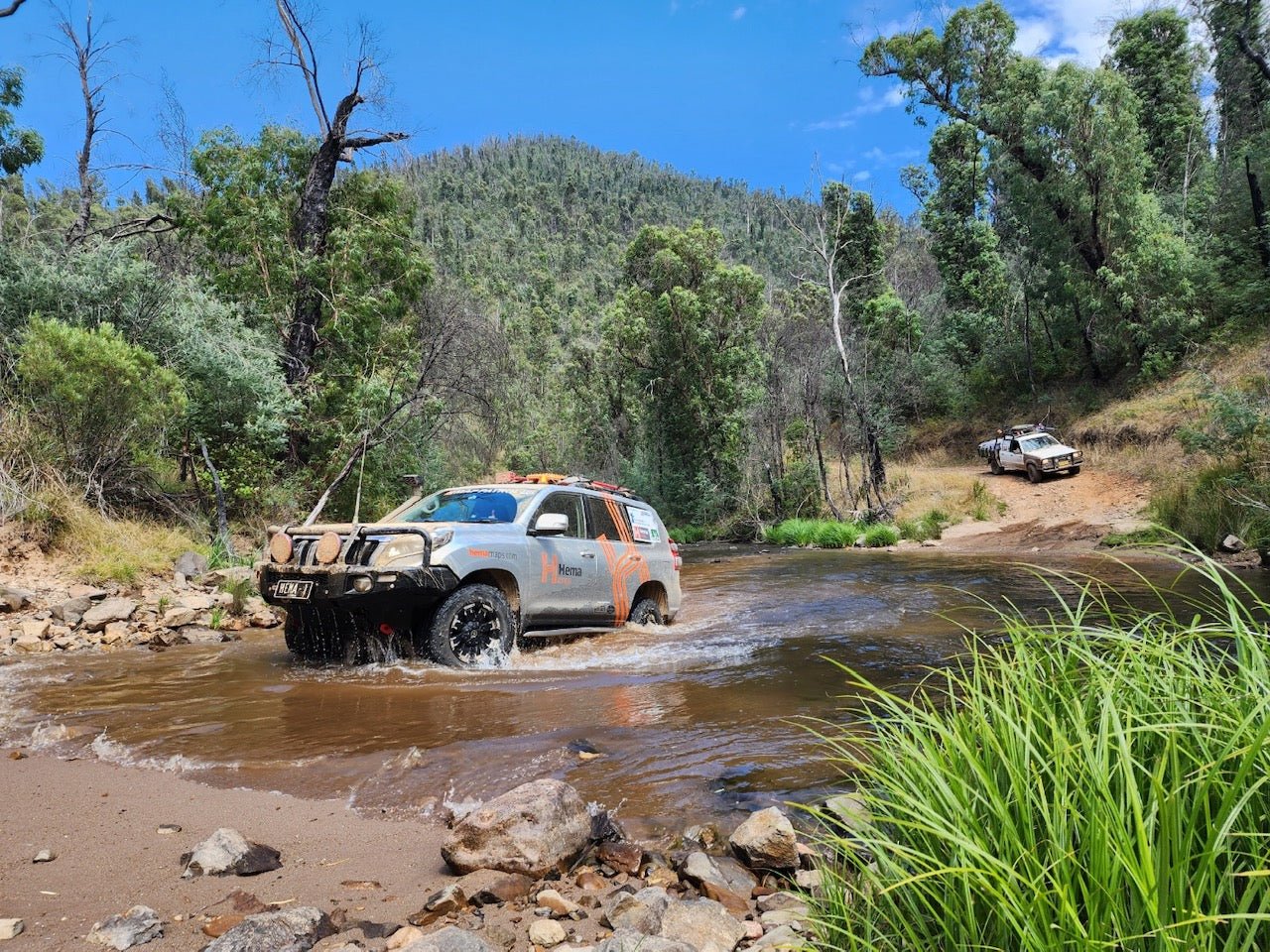
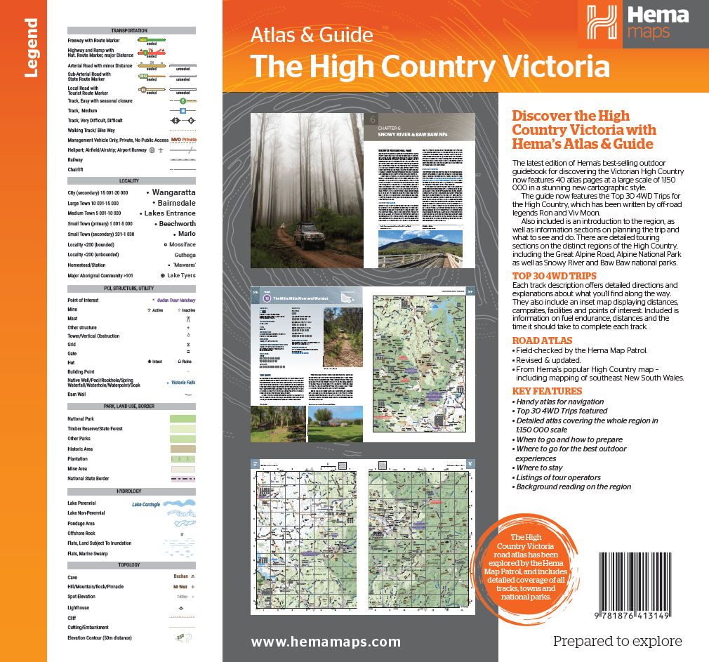
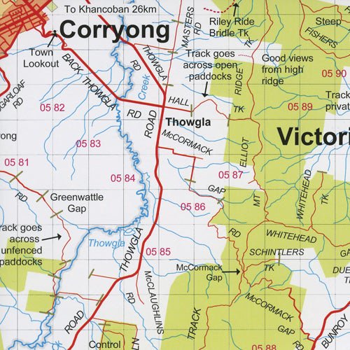
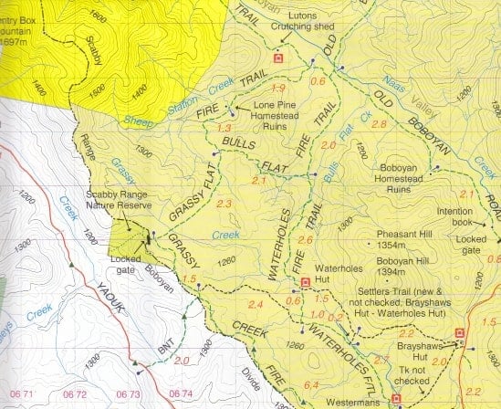
- High Country: Seasonally Closed tracks are mostly closed with the majority of seasonal road closures for 2022 beginning on 16 June. Check the list of tracks open/closed.
Tasmania
Border Update -
|
Interstate Restrictions |
|
|
No Internal Travel Restrictions |
|
For more information refer to: https://coronavirus.tas.gov.au/travellers-and-visitors/coming-to-tasmania
La Niña -
More rainfall during spring and summer, wetter soils and an increased chance of flash floods. Reduced bushfire risk with reduced extreme heat waves.
Regional Update -
- A high over the Bight directs a west to southwesterly airstream over Tasmania. The high will drift over and to the north of the state today, bringing light winds and mostly settled weather. As the high moves eastwards over the Tasman Sea on Saturday, a north to northeasterly stream will develop and freshen on Sunday, bringing warmer temperatures to the state. A cold front is expected to approach the state during Monday afternoon and evening.
- Drive With Caution Warning: Cradle Mountain Road and Belvoir Road – Reports of heavy snow in the area, motorists to consider necessity to travel, use extreme caution, reduce speed and drive to the conditions.
New South Wales/ ACT
Border Update -
|
Interstate Restrictions |
|
|
Internal Travel Restrictions |
|
For more information refer to: https://www.nsw.gov.au/covid-19/what-you-can-and-cant-do-under-rules/border-restrictions
La Niña -
More rainfall during spring and summer, wetter soils and an increased chance of flash floods. Reduced bushfire risk with reduced extreme heat waves. More rainfall is expected in most of New South Wales.
Regional Update -
- A high pressure system near the Bight is extending a ridge across NSW. This high will slowly move east, reaching the southern Tasman Sea by Saturday, promoting mostly fine conditions across the state. Winds will gradually shift to a warmer northerly direction during the weekend a trough approaches from the west. This trough and its associated cold front are expected to move across New South Wales early next week, bringing unsettled weather to most areas.
- 4WD Only - Tibooburra to Toona Gate (QLD) - The road has reopened since recent flooding. Road conditions for Unincorporated Area of the Western Region are available on 08 8082 6660 (Updated 12/08/22).
- ADVERSE WEATHER Water over road - Coona Point to Bindara - Old Pooncarie Road. Road closed in both directions. (Updated 26/08/22).
Queensland
Border Update -
|
Interstate Restrictions |
|
|
Internal Travel Restrictions |
|
For more information refer to: https://www.qld.gov.au/health/conditions/health-alerts/coronavirus-covid-19/current-status/public-health-directions/border-restrictions
La Niña -
More tropical Cyclones than normal. Prepare earlier - Rain expected a month earlier, more than 70% chance of above-average rainfall and increased flood risk.
Regional Update -
- A strong high in the Great Australian Bight extends a firm ridge across Queensland. The high will move slowly eastwards over coming days, maintaining the ridge. The high will reach the southern Tasman Sea over the weekend, with onshore winds increasing moisture, initially about the east coast of Queensland over the weekend, before extending into the interior of the state early next week. A trough in the Coral Sea will enhance rainfall about the North Tropical Coast over the weekend.
- Bedourie: Coorabulka Road, Long term Flooding - from Bedourie to Boulia (to Boulia Council Boundary) - Both directions, Long delays expected. (Updated: 26/08/22)
- Cape York: Peninsula Developmental Road - Road Works - at Archer River Road. (Updated: 26/08/22)
- Fraser Island:
- Areas of concern - Most of the West coast is closed to beach driving.
- Look and listen for aircraft landing and taking off along the eastern beach. Follow direction from the ground control crew.
- Wongari (Dingo) warnings – Be dingo-safe!
- Fraser Island report - 16th August, 2022.
- Hazard: Adverse driving conditions - Recent rain has resulted in major closures with Long-term flooding throughout central QLD. With roads closed in both directions. Do not drive in flood waters.