
TAGS
All articles tagged 'queensland'

A guide to Palmer River Goldfields — Cape York, Qld
In the dusty highlands of the Palmer River Goldfields region, adventurous four-wheel drivers can experience one of Cape York’s...

Condamine River Road, Qld
In the endless quest for ‘fresh-air days’ we all need our hidden places to which to escape, with many of...

Hema Maps' favourite Easter camping spots around Australia
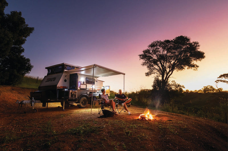
It’s fair to say that the Hema Maps team are camping experts, with each member spending a fair portion...

4WD Guide to the Frenchmans Track, Cape York
Splitting east off the Old Telegraph Track north of Batavia Downs is one of Cape York’s most testing tracks,...

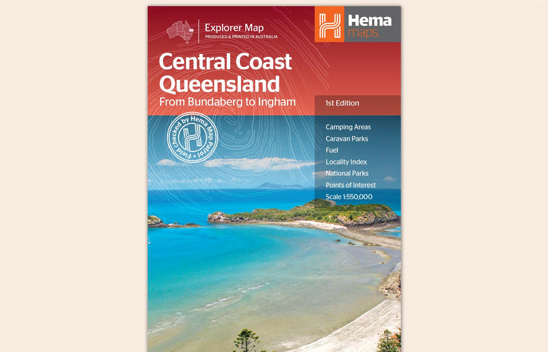
Hema Maps’ new product: Central Coast Queensland Map
Hema Maps, Australia’s leading publisher of trusted and verified maps, is excited to announce the release of its latest product,...

A guide to the CREB Track, Cape York
North Queensland is a 4WD enthusiasts paradise, and the CREB (Cairns Regional Electricity Board) Track is one of the...

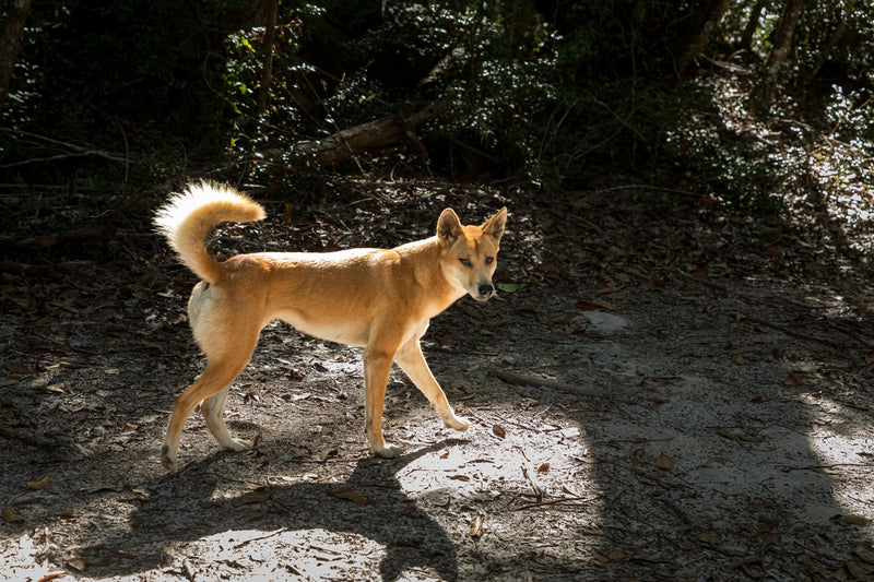
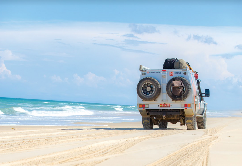
Dingo Safety Guide | K’gari (Fraser Island)
Dingoes play an important role as an apex predator in Australia, but you must always appreciate them from a...

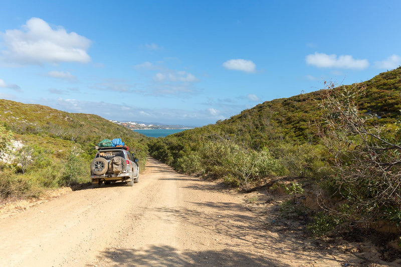
The ultimate 4WD adventure: Mulgumpin/Moreton Island, QLD
Mulgumpin/Moreton Island offers something unique among the sandy 4WD and camping destinations close to Brisbane, making it one of...

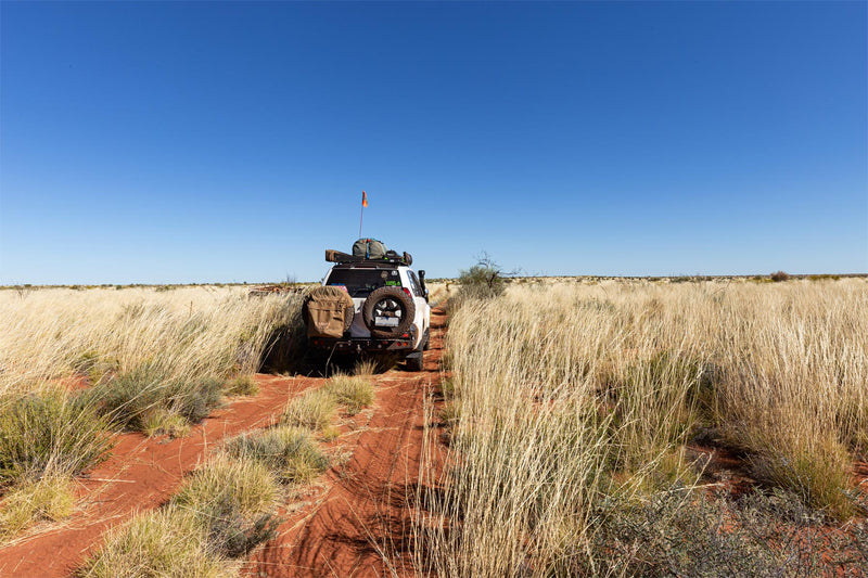
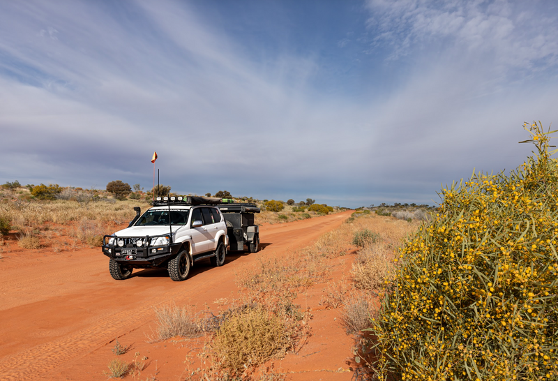
3 Great Desert 4WD Tracks from an Updated Hema Maps Guide
Great Desert Tracks is a comprehensive and informative guide which includes plenty of essential pre-trip reading including general information about...

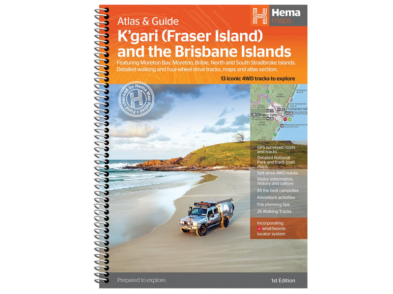
New Hema Maps Release: K’gari (Fraser Island) and the Brisbane Islands Atlas & Guide
This easy-to-use guidebook takes the difficulty out of planning a trip to this incredible region.

How to Prepare your Vehicle for a Cape York 4WD Adventure?
A well-prepared vehicle is vital to ensure you get to The Tip and back in one piece. If you’re...


Hema Maps Launches New Map: Outback Queensland
Hema Maps, the leading publisher of maps and guides for Australia and beyond, is thrilled to announce the release of...


Touring Expedition National Park, Queensland
As a destination, Expedition National Park is a cracker with Robinson Gorge a stunning sandstone gorge hidden in this Central...

Top 4 Free Camps in Southwest Queensland
If you’re heading to Southwest Queensland, check out these excellent free camps.COOPER CREEK, WINDORAHCamping beside the epic Cooper Creek can...

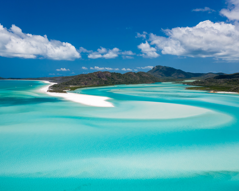
On any Sunday - The Whitsunday Coast
Queensland’s Whitsunday Coast is a tropical destination with dozens of islands and access to the coral playgrounds of the World...

North Stradbroke Island - QLD
North Stradbroke Island is an idyllic beach paradise with pristine wilderness areas and charming pockets of civilisation to enjoy.Essential information...

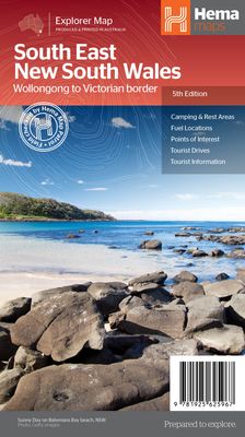
Product Overview- South East New South Wales Map (5th Edition)
The South East New South Wales Map from Hema Maps, is back by popular demand. This ‘new look‘ regional map...

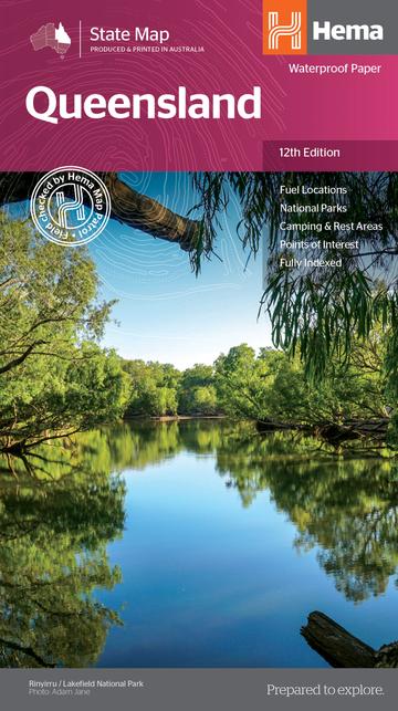
A Product Overview of the Queensland State Map (12th Edition) from Hema Maps
The Queensland State Map from Hema Maps is an essential touring map for travelling throughout the entire state. The map...

Heading Inland - QLD’s Sunshine Coast Hinterland
Words and pics Matt Williams.While the coastal towns are ever popular, the Sunshine Coast has more to offer if you...

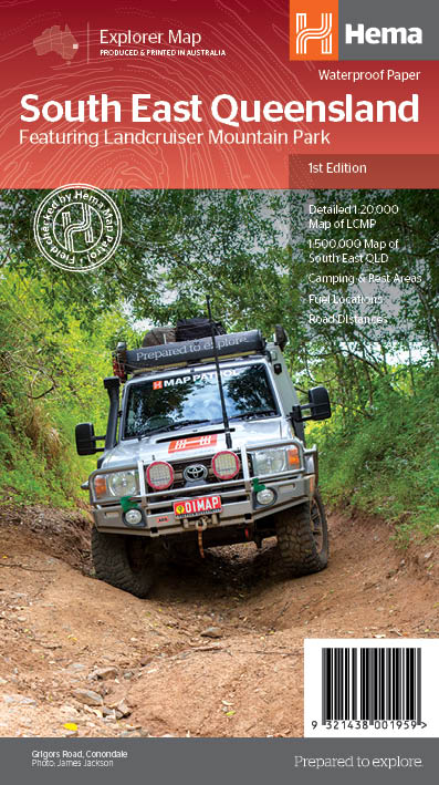
A Product Overview of the South East Queensland Featuring Landcruiser Mountain Park Map (1st Edition)
The South East Queensland featuring Landcruiser Mountain Park Map (1st Edition) from Hema Maps, is part of Hema’s iconic Explorer Map range....

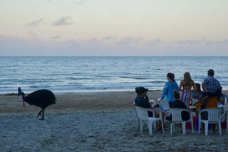
Tropical Treasures of Cairns, QLD
There’s plenty to see and do around Cairns, including these lesser-known destinations.Abundant natural beauty has made Cairns a launching pad...

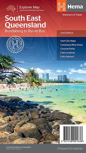
A Product Overview of the South East Queensland Explorer Map (2nd Edition) from Hema Maps
The South East Queensland Explorer Map (2nd Edition) from Hema Maps, is part of Hema’s comprehensive Explorer Map range. Hema’s Explorer Maps...

Condamine Gorge
Guiding travellers through ancient Gondwana Rainforest nestled within the Great Dividing Range, Condamine River Road crosses its namesake 14 times,...
Sundown National Park - SE QLD
Despite being only 250km southwest of Brisbane, Sundown National Park is characterised by remoteness. A lack of development, basic camping...
Cooloola Coast - QLD
Extending from Noosa to Rainbow Beach in Queensland's southeast, the Cooloola Coast is a pristine coastal wilderness made for hikers...
South East QLD
The Map Patrol embarked on a mapping expedition of South East Queensland, exploring the off-road destinations and journeys within one...
The 7 Best Campsites Close to the Gold Coast
The Gold Coast may be known for its busy beaches and man-made attractions, but away from the bright lights are...
Main Range National Park - SE QLD
Hema HX-1 Navigator Hema Explorer App South East Queensland Map 4WD + Camping South East QLD Situated within the Scenic...
The Best Campsites on the Sunshine Coast
The Sunshine Coast is teeming with coastal and hinterland wilderness areas, within which are some of the best camping spots...
Exploring the Bloomfield Track in Queensland
Looking for a cruisy off-road day-trip? Maybe planning a route to Cape York? Whatever you're after, the Bloomfield Track is...
Fishing in Cape York
Cape York Peninsula’s reputation as a last frontier for recreational fishers is a powerful attraction for the more adventurous angler....
Rinyirru (Lakefield) National Park
Home to vast floodplains and wetlands that are teeming with bird and marine life, Rinyirru (Lakefield) National Park is an...
Cape York Trip Safety
The most dangerous hazards are saltwater crocodiles, marine stingers and venomous snakes, but you can avoid their unwelcome attentions by...
The Tip East
The eastern side of the Tip of Cape York features pristine 4WD access beaches, historical ruins and more for off-road...
The Tip West
The journey to the northernmost point of the Australian mainland is a rite of passage for many travellers, particularly those...
When To Go To Cape York
The Peninsula’s climate is characterised by distinct wet and dry seasons, with the Wet occurring from around mid-November to mid-April...
South East qld 2014
The Map Patrol explored South East Queensland in a whirlwind month that was filled with twenty distinct 4WD trips close...