
:
30 Years of Exploration Part 1
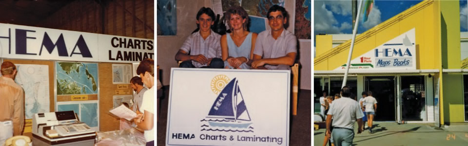
Taking the first two letters from founders Henry and Margaret Boegheim’s first names, ‘Hema’ represents the spirit of the original explorers who sparked the company to life.
Originally starting as Hema Charts & Laminating in 1983, the business began by laminating and selling marine charts through South East Queensland bait and tackle shops. The company moved into distributing maps soon after, before quickly growing to the point of creating its own. The first Hema map was of Rockhampton, which was well received and emboldened the business to move further into the art of map-making.
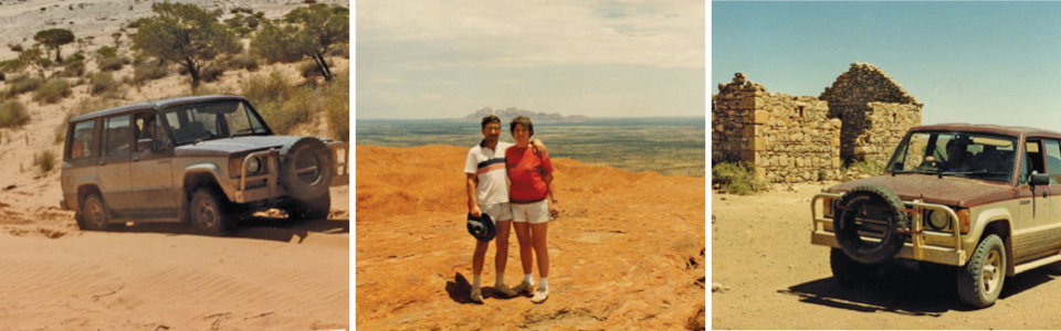
It was at this point that the road ahead crystallised, with Henry and Margaret purchasing their first 4WD in 1989. In the year that followed, the two explorers would cross the Simpson Desert, traverse the Gunbarrel Highway (on their journey from Perth home to Brisbane), and tackle the most revered off-road destination Australia has to offer: Cape York.
 “It gets in your blood,” says Henry, referring to the rapid succession of off-road adventures.
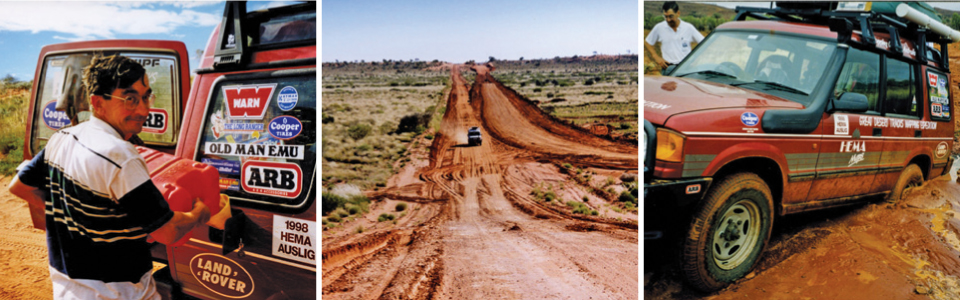
However it was the trip to Cape York that catalysed the move to 4WD and touring maps, as the founders recognised the need for better and more dedicated mapping for remote areas of Australia.
“The available maps of Cape York were so poor, we got lost so many times,” says Henry.
Seeking to offer like-minded explorers a better tool for discovering the Cape, the first Hema 4WD regional map was crafted in 1992 (of none other than wild Cape York). Maps of the Kimberley, the Top End, various regions of New South Wales and the Flinders Ranges followed suit, as Hema Maps sought to attend to the needs of remote-area travellers.
“We decided that we had to serve the 4WD and touring community, and the best way we could do that was by providing products that facilitated their adventures,” says Henry.
Amongst the flurry of off-road maps was Hema’s first Road Atlas in 1993, now in its 10th edition. However, the significance of this iconic best-seller was quickly surpassed as the Hema Maps vision looked to the future.
 The release of the Global Positioning System (GPS) immediately presented an undeniable opportunity to Hema Maps; despite the fact the technology wouldn’t be widely used in the off-road community for some years. This breakthrough meant Hema Maps could now create and update maps of remote areas with supreme accuracy, an opportunity that would not go begging.
“It was a big risk,” says Henry.
“The technology was bulky and the field-checking could be tedious, but the ability to do our own mapping so accurately was unique. It was like lightning struck.”
To the explorers at Hema Maps, the company had a responsibility to the community that traversed Australia’s regional areas, and the ability to GPS survey roads and tracks was a necessity in Henry and Margaret’s eyes.
“We never wanted to make a map for remote areas without knowing the tracks went somewhere,” Henry says.
“The fact that we were field-checking our maps gave people the confidence to trust their map and know they would be ok.”
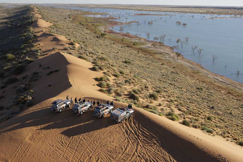
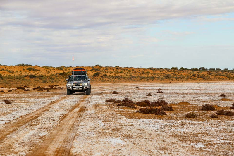
The power of GPS field-checking would soon be used for the most extensive mapping expedition ever undertaken by a private company in Australia. This expedition would produce a map series universally acclaimed in the realm of remote area exploration: Great Desert Tracks.
 “There was this big hole in the centre of Australia in terms of mapping, this great unknown,” Henry says.
Such was the magnitude of the expedition that it was split between multiple field teams over two years, with almost all staff members involved in the process of field-checking throughout that period.
“It was a big gamble, despite the fact that deep down we knew it needed to be done. There was so much preparation involved,” Henry says. Henry and Margaret’s son Rob (now Managing Director) led the Great Desert Tracks expedition, with his vision and attention to detail bringing the Great Desert Tracks series to explorers Australia-wide.
It was this expedition in 1998 that would revolutionise the way Hema Maps would gather data and display it through its map products, while setting in motion the technological shift to come in the following 15 years.
1 comment


Congratulations Henry and Margaret on developing HEMA Maps. It was a privelege to meet Rob on a recent Canning Stock Route trip where I came to truly appreciate the vastness and much untold history of Australia. Best wishes for continuing success.