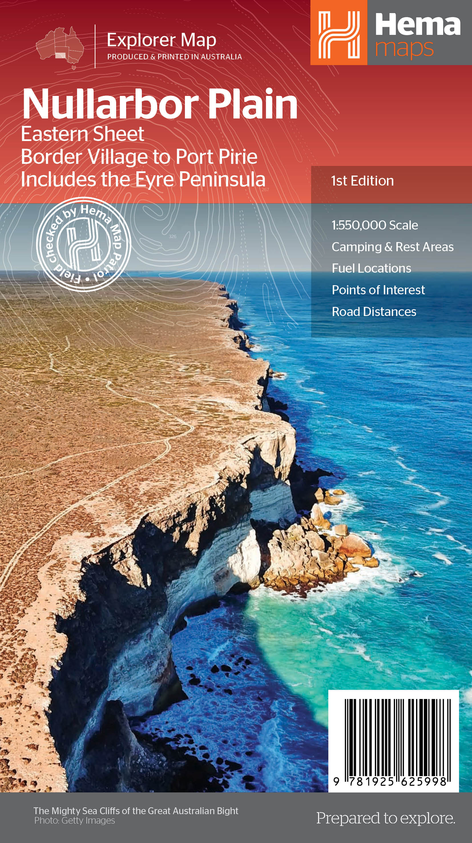
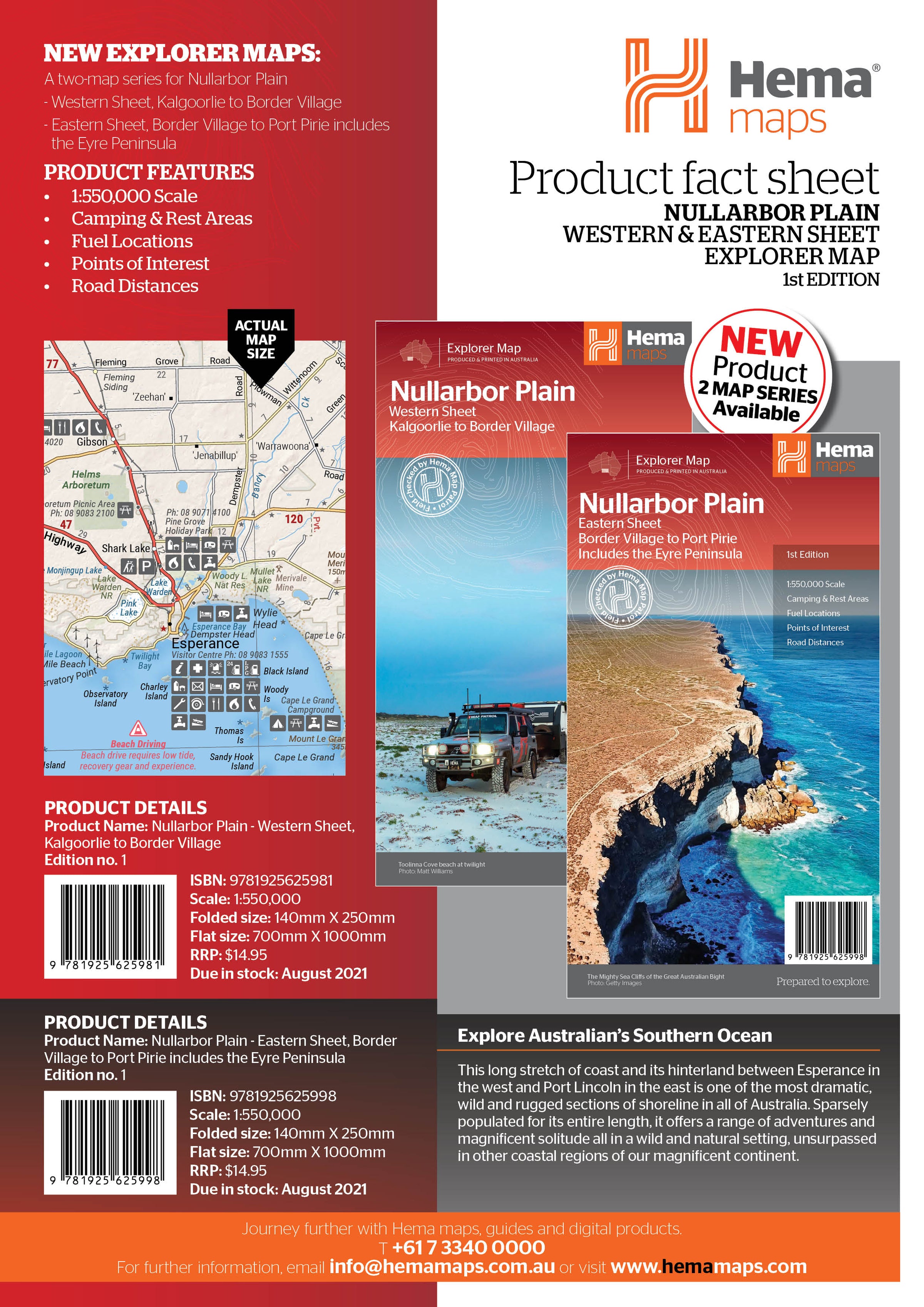
Nullarbor Plain - Eastern Map - Border Village to Port Pirie
This map is part of Hema's new Nullarbor Plain Map Series (East and West) and covers Border Village to Port Pirie including the Eyre Peninsula.
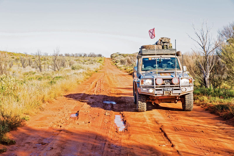
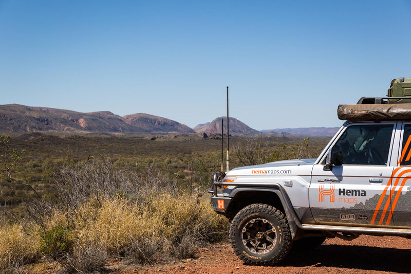
Truly one of the worlds great adventure drives, Australia's semi-arid Nullarbor Plain stretches some 1,256 kilometres (781 miles) via the Eyre Highway and links the cities of Adelaide and Perth (or vice versa depending on your direction). The length of this journey is so large we needed to stretch it over two maps; East from Port Pirie to Border Village in South Australia and the Western sheet from Border Village to Kalgoorlie.
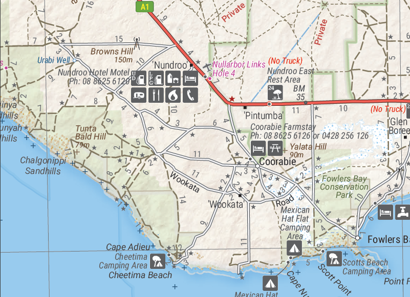
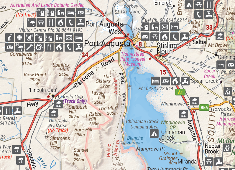
While all the key sites and facilities along the Eyre Highway are listed this map allows you to broaden your horizon and consider some of the other attractions off the Highway, including; the various Nullarbor caves, iconic beaches across the Great Australian Bight and thousands of kilometres of 4WD tracks (including Googs Track), all field-checked by the Hema Map Patrol for superior accuracy.
This map combines Hema’s entire database of roads and 4WD tracks with touring points of interest and topographic information. Also included are camping & rest areas, fuel locations, accommodation, distances and history of the region.
Key Features
- 4WD tracks (including Googs Track)
- Camping & rest areas
- Fuel Locations
- Road distances
- Accommodation
- Caves and Beaches
- History of the area
Key Specifications
Edition: 1st
Publication Date: 12/08/21
Scale: 1:550,000
Folded size (WxHxD): 140mm x 250mm x 3mm
Flat size (WxH): 1000mm x 700mm
Weight: 0.09kgs
You may also like...

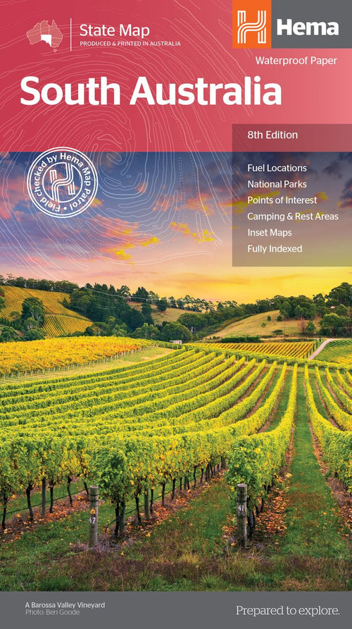

South Australia State Map
- Regular Price
- $14.95
- Sale Price
- $14.95
- Regular Price
-
- Unit Price
- Translation missing: en.general.accessibility.unit_price_separator


Flinders Ranges Map
- Regular Price
- $14.95
- Sale Price
- $14.95
- Regular Price
-
- Unit Price
- Translation missing: en.general.accessibility.unit_price_separator


Nullarbor Plain - Western Map - Kalgoorlie to Border Village
- Regular Price
- $14.95
- Sale Price
- $14.95
- Regular Price
-
- Unit Price
- Translation missing: en.general.accessibility.unit_price_separator


Flinders Ranges Atlas & Guide
- Regular Price
- $49.95
- Sale Price
- $49.95
- Regular Price
-
- Unit Price
- Translation missing: en.general.accessibility.unit_price_separator


South Australia Handy Map
- Regular Price
- $9.95
- Sale Price
- $9.95
- Regular Price
-
- Unit Price
- Translation missing: en.general.accessibility.unit_price_separator
Related Articles

Top 5 Australian Great Desert tracks

Gary Junction Road - The Outback's Heart